Smith Ridge Road Access
Smith Ridge Road Access
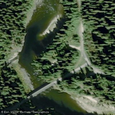
Smith Ridge Road Access provides entry to the alpine Smith Ridge Trailhead at 7,077 feet elevation in the Mallard Larkins Roadless Area, located on the Nez Perce-Clearwater National Forests.
The access road (Road 700) crosses the North Fork Clearwater River before climbing approximately 13 miles through the Isabella drainage to reach the trailhead at Smith Ridge Creek.
While primarily a hiking and backpacking access point with dispersed camping available, note that potable water is not available at the site.
Nearby points of interest
Find excellent paddling spots, easy access to boat ramps, and all the amenities you need for a memorable day. Your adventure starts here.
Water and weather conditions (10 day forecast)
Check the forecast at Smith Ridge Road Access before you go paddling.
No forecast data available.
Paddling near Smith Ridge Road Access
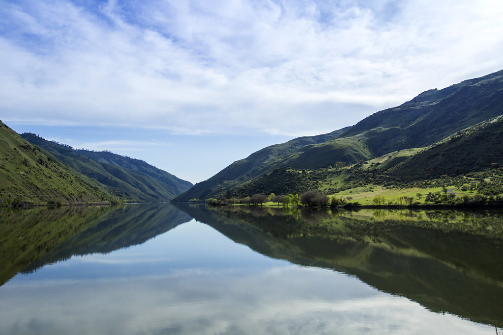
Snake River
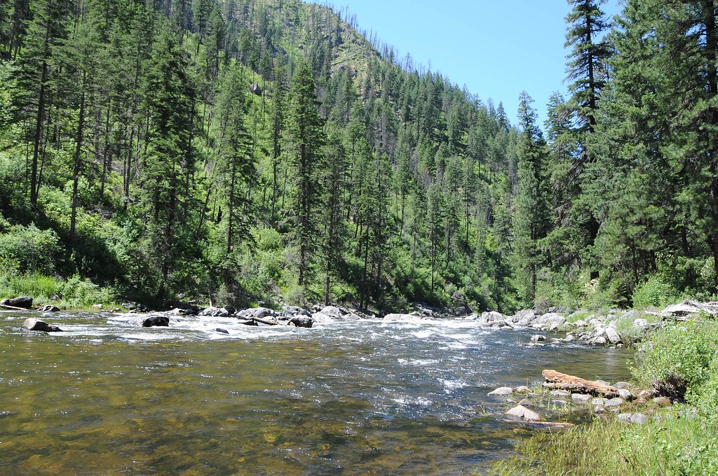
Clearwater River
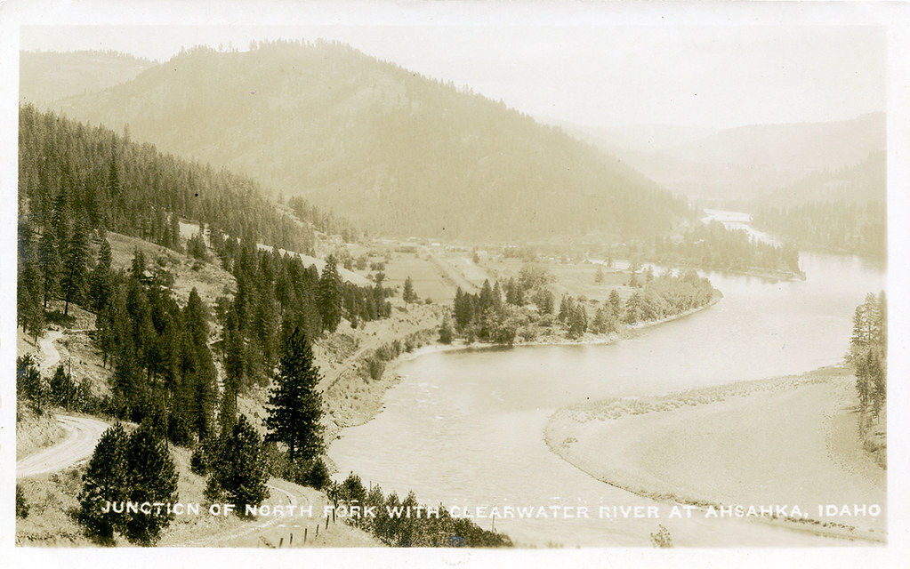
North Fork Clearwater River
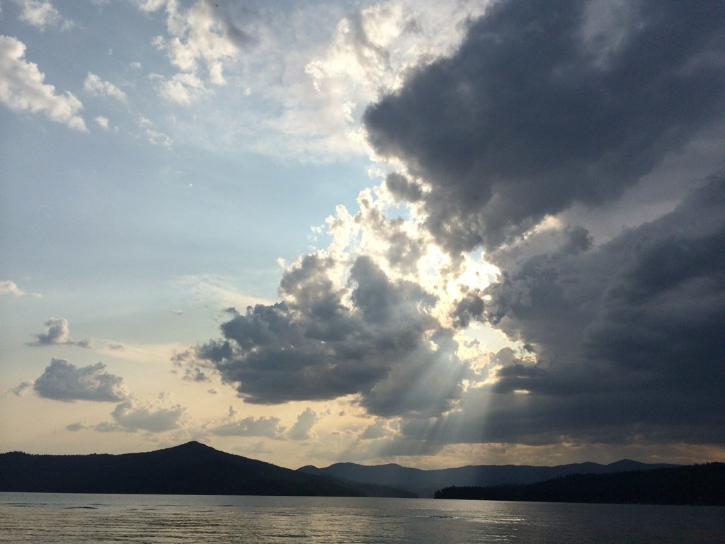
Coeur d'Alene Lake
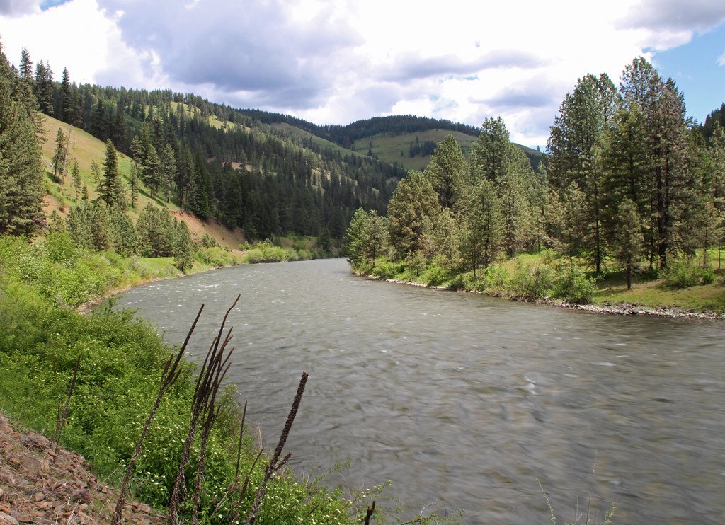
Grande Ronde River
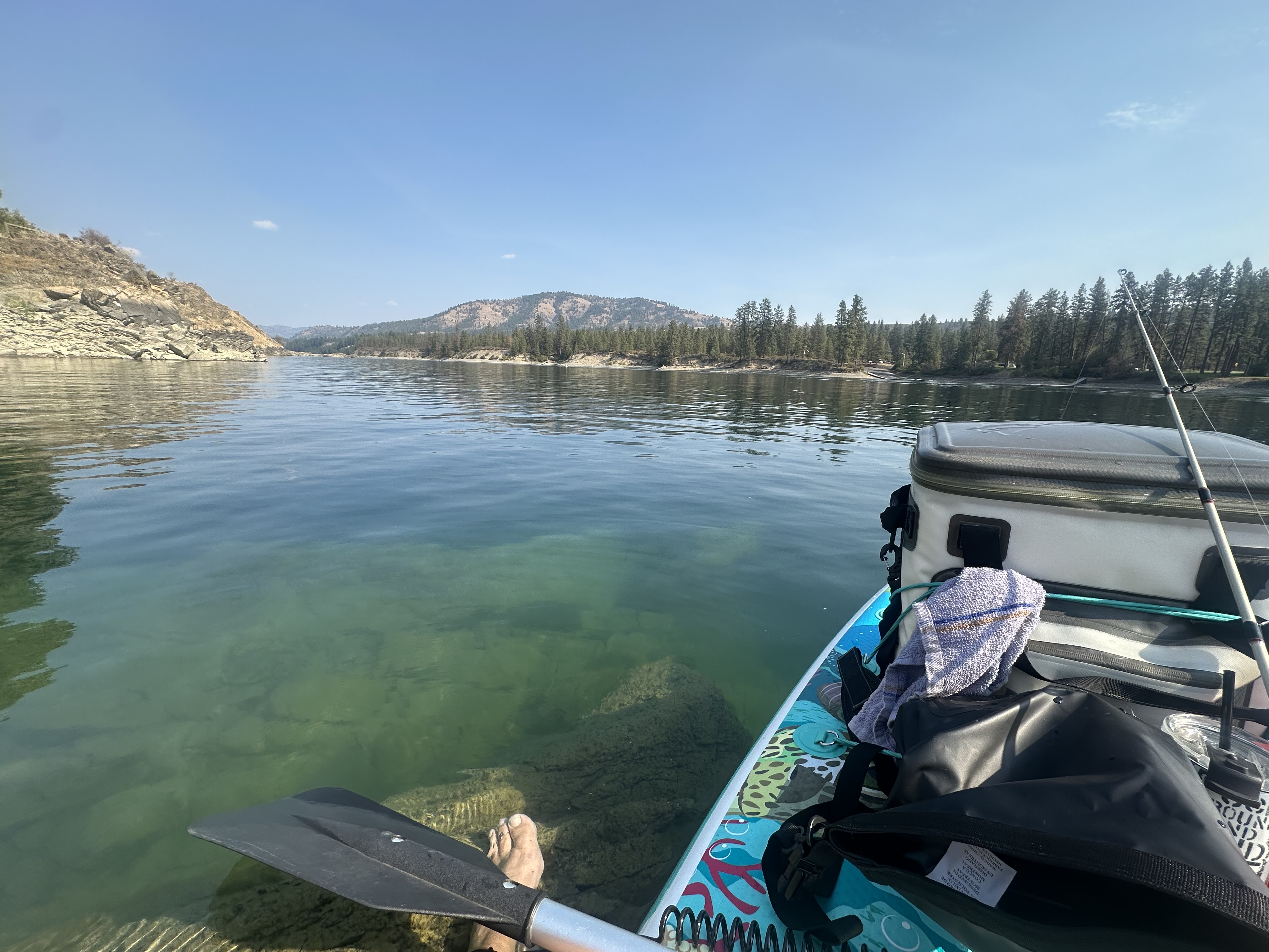
Spokane River
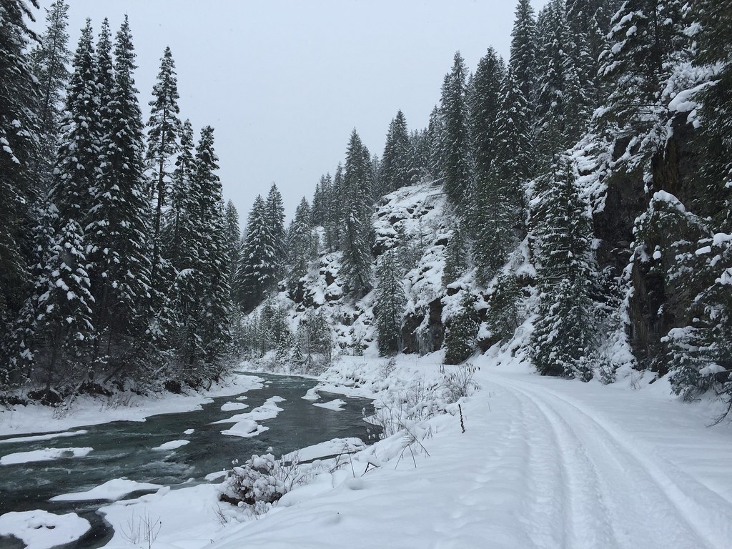
Saint Joe River
Dworshak Reservoir
Potlatch River
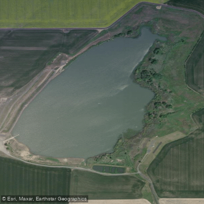
Mann Lake
Idaho licenses and regulations
Explore Idaho waters
Top paddling waters
No waters available right now.
Popular Cities
Loading popular cities...
Explore near Smith Ridge Road Access
Nearby spots
Nearby waters
More in Idaho

Smarter Paddling Starts in the App.
Paddleways gives you everything you need to plan smarter, paddle better, and own every trip from first launch to takeout.