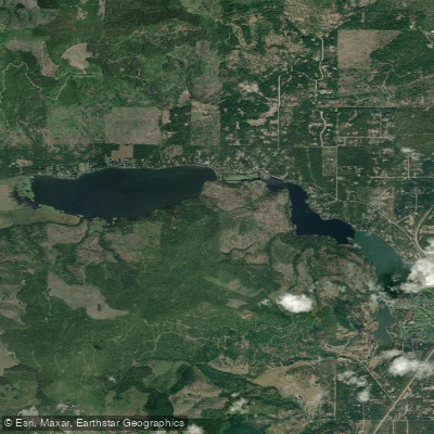
Pend Oreille River

Boat Ramps
1
Access Points
1
Campsites
34

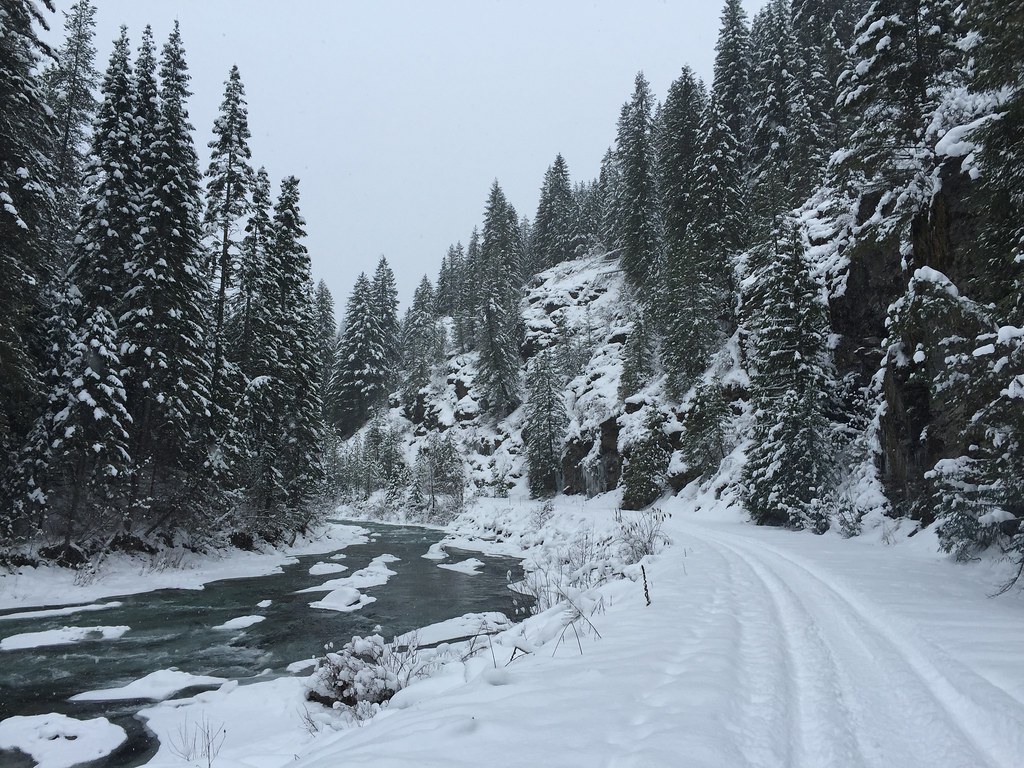
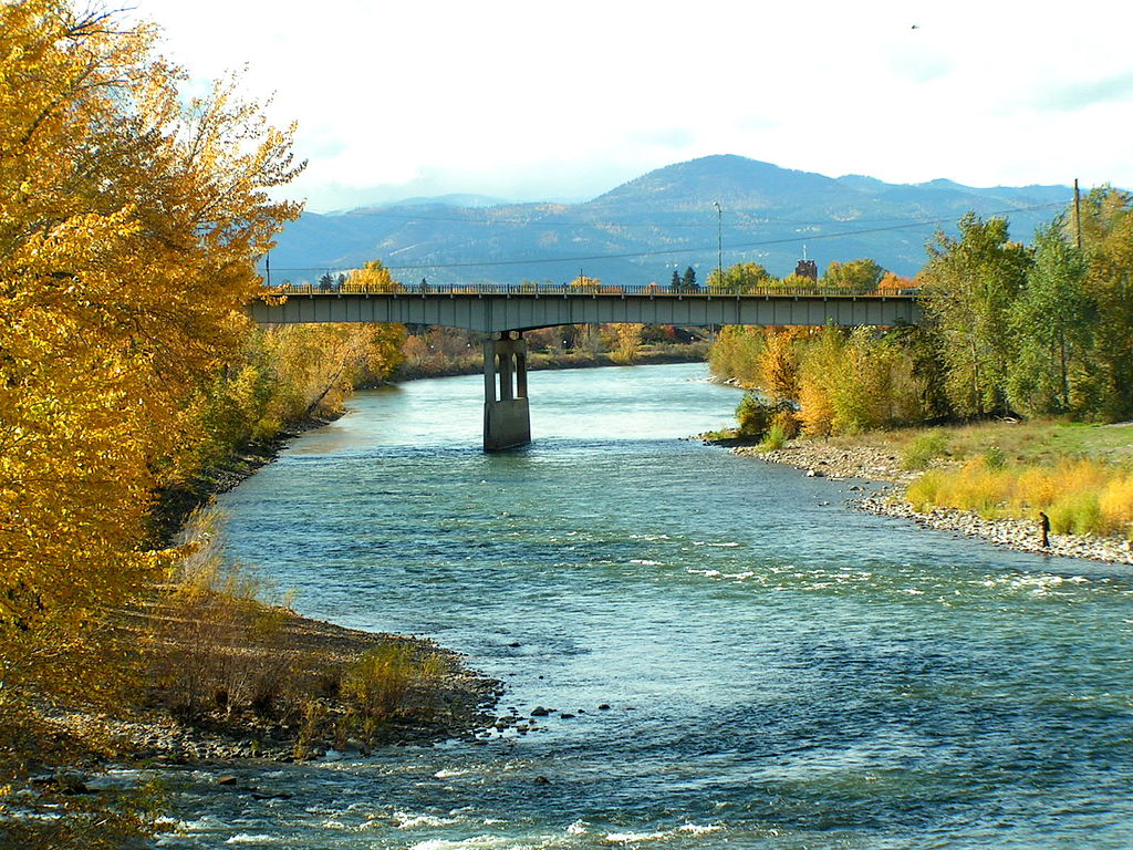
The Pend Oreille River is a scenic waterway that flows northward from Lake Pend Oreille in northern Idaho through northeastern Washington before crossing into British Columbia, Canada. This 130-mile long river is part of the Columbia River watershed, with its waters eventually reaching the Pacific Ocean. The river offers diverse paddling opportunities along its course, with the 70-mile Pend Oreille River Water Trail being a highlight for canoeists and kayakers. This trail begins in Oldtown, Idaho and follows the river north through rural communities like Newport, Usk, and Cusick before ending at Boundary Dam near the Canadian border.

The difficulty ranges from flatwater sections suitable for beginners to challenging Class III-IV rapids in certain areas, particularly near Metaline Falls. Paddlers can enjoy a variety of experiences, from serene floats through wildlife-rich areas to more adventurous trips through scenic canyons. The 12-mile Canyon Reach from Metaline to Boundary Dam is particularly spectacular, featuring limestone cliffs, caves, and emerald green waters. This section typically takes 6+ hours to paddle and requires intermediate to advanced skills.

The best paddling season is generally from late spring through early fall, with water levels and flow rates influenced by snowmelt and dam operations. Paddlers should always check current conditions and dam release schedules before embarking on a trip.

The river valley is home to abundant wildlife, including nesting birds, waterfowl, and larger mammals like deer and black bears. The surrounding landscape features dense forests, dramatic cliffs, and occasional waterfalls like Peewee Falls in the Z Canyon stretch.

Key access points include Oldtown (ID), Newport (WA), Usk (WA), Cusick (WA), Metaline Falls (WA), and Boundary Dam (WA). Paddlers should be aware of multiple dams along the route, including Box Canyon Dam and Boundary Dam, which require portages.

The Pend Oreille River holds significant cultural importance, with the Kalispel Indian Reservation located along its banks. The Kalispel Tribe has a long history of using the river for transportation and sustenance.

Safety considerations include being prepared for changing weather conditions, wearing appropriate safety gear, and being aware of dam operations that can affect water levels and currents. Paddlers should also be cautious of submerged obstacles and strong eddies, particularly in the more challenging sections.

For those interested in multi-day trips, the full 70-mile water trail can be completed in 3-5 days, with numerous camping opportunities along the way. This allows paddlers to fully immerse themselves in the natural beauty and rich history of the Pend Oreille River valley.
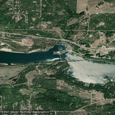
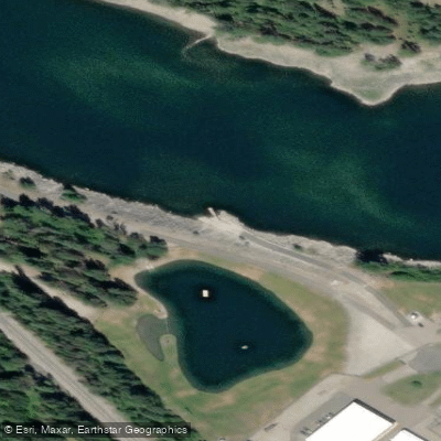

Water access, boat ramps & amenities

Learn how to get on Pend Oreille River. Uncover great paddling access points, boat ramps, and all the facilities you need for an unforgettable day on the water. Some locations shown may border or include private property. Always check property boundaries and applicable regulations before visiting. PaddleWays's Public & Private Land layer can help you plan your access with confidence.

Paddle smarter with real-time insights

Whether you're en route and conditions shift or you're looking for the best spot based on current flows, we enable you to make informed decisions on the fly.

Idaho licenses and regulations

Idaho Boating Regulations

When using any type of watercraft to access a body of water, it is important to follow all federal, state, and local rules and regulations. These rules and regulations include boat permitting and licensing, invasive species inspections and stamps, life jacket and PFD rules, motor size and horsepower restrictions, noise limitations, restrictions on personal watercraft, and many more. Visit the web link below for the most current rules and regulations for this body of water.

Learn more, opens in new tab

Idaho Boating Regulations

When using any type of watercraft to access a body of water, it is important to follow all federal, state, and local rules and regulations. These rules and regulations include boat permitting and licensing, invasive species inspections and stamps, life jacket and PFD rules, motor size and horsepower restrictions, noise limitations, restrictions on personal watercraft, and many more. Visit the web link below for the most current rules and regulations for this body of water.

Learn more, opens in new tab

Idaho Fishing License

"To fish in Idaho any person 14 years of age or older must have a valid fishing license. Anglers younger than 14 do not need a license, but there is a small difference between resident and nonresident youth. -A resident child under 14 has their own separate fishing limit. -A nonresident child under 14 must be with someone who has a valid fishing license and their fish are in included in the license holders fishing limit. However, a nonresident child may purchase their own license and have their own limit. Special fishing permits are need for some activities for both residents and nonresidents: -Fishing for salmon and steelhead -Fishing with two poles."

Learn more, opens in new tab

Idaho Fishing Regulations

This river has a variety of species and regulations, including potential floating and/or watercraft restrictions. Because this river is specially managed for species, seasons, angling methods, and watercraft, it is strongly encouraged you check all federal, state, and local regulations before fishing. Visit any of the links below, inquire locally, or contact a local fly shop to learn current regulations and restrictions.

Learn more, opens in new tab

Idaho Stream Access Laws

Navigable streams are recognized as public transportation corridors, thus members of the public have the right to use the corridor, provided they enter and exit the corridor at a public right of way and remain within the corridor. Many navigable streams flow through private property, thus it is important that anglers know their rights and responsibilities when fishing in navigable waters that flow through private property.

Learn more, opens in new tab

Find Places to Paddle

Over 400,000 Places to Paddle

Every user gets free access to launch points, boat ramps, and public property parcels.

Water and weather conditions (10 day forecast)

See the best times to paddle Pend Oreille River and check the forecast before you go.

PEND OREILLE RIVER AT NEWPORT WA

Loading flow chart…
Latest
10 yr average

All Flow Stations


Dam releases

Scheduled releases and generation forecasts from the dams on Pend Oreille River.

Albeni Falls Dam

Pend Oreille River · Below Albeni Falls Dam · National Weather Service

12,750 cfs now

Next 48 hours

Today
2:00 PM PST to 2:00 PM PST
12,750 cfs
National Weather Service on water.noaa.gov

Forecast updated today at 1:36 PM PST. Schedules can change, so check the operator's page before you go.


Smarter Paddling Starts in the App.

Paddleways gives you everything you need to plan smarter, paddle better, and own every trip from first launch to takeout.