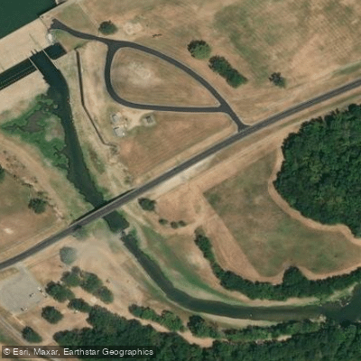




Toledo Bend Dam
Sabine River · Below Toledo Bend Dam · Sabine River Authority
No generation scheduled
Sabine River Authority on srala-toledo.comForecast updated today at 4:23 PM CST. Schedules can change, so check the operator's page before you go.
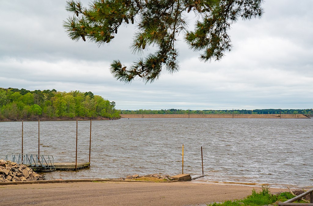
The Sabine River forms the eastern border between Texas and Louisiana, flowing approximately 510 miles from its headwaters in northeast Texas to Sabine Lake on the Gulf Coast. Major tributaries include the Neches River and Anacoco Bayou. The river drains a watershed of over 9,750 square miles. Paddling opportunities abound along the Sabine, with several designated paddling trails and numerous access points. The upper reaches near Toledo Bend Reservoir offer scenic flatwater paddling, while the lower sections provide a mix of quiet pools and small riffles. Difficulty ranges from Class I to II, suitable for beginner to intermediate paddlers.
Popular paddling sections include: - Toledo Bend Dam to Highway 63 (10 miles) - Toledo Bend Dam to Bon Weir (50 miles) - Sabine River Sandbar Paddling Trail (15-19 miles) - Gladewater to Easton Water Trail (36-38 miles)
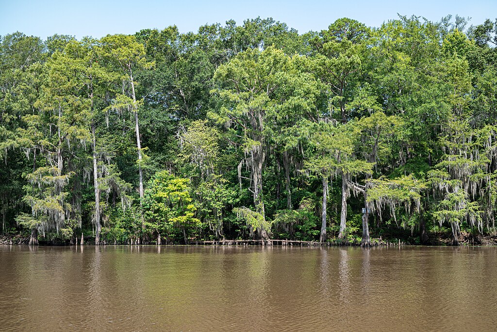
The river is best paddled from late fall through spring when water levels are higher and temperatures milder. Summer can bring low water and oppressive heat. The Sabine supports diverse wildlife including alligator gar, white bass, and numerous bird species. Towering cypress and pine forests line much of the riverbank. Gleaming white sandbars provide ideal rest stops and camping areas.
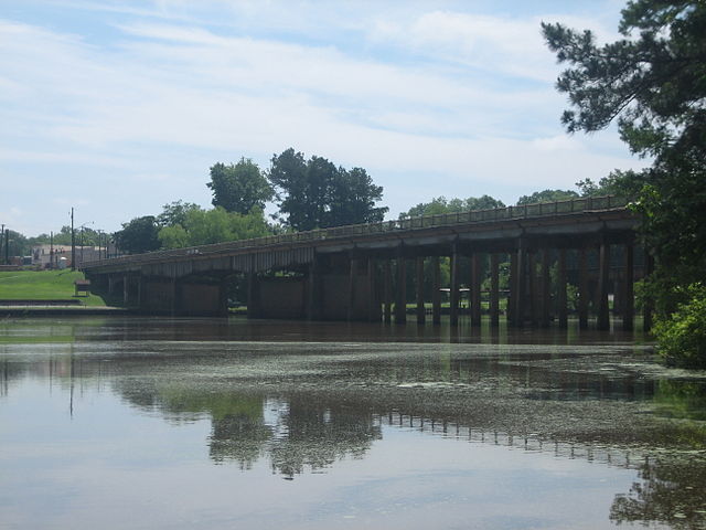
Key landmarks include Toledo Bend Dam, the Highway 63 bridge, and Yellow Dog County Park. Major access points are found near Carthage, Gladewater, and Burkeville. Multi-day trips of 2-4 days are possible between Toledo Bend and Bon Weir.
Historically, the Sabine served as an important transportation route and was central to early settlement of the region. Today it remains a vital resource for recreation, wildlife, and local communities.
Paddlers should be aware of potential logjams, especially after high water events. Respect private property along the banks and obtain necessary permits for overnight camping. The Sabine offers a quintessential East Texas paddling experience, with its clear waters, sandy beaches, and serene forests providing an ideal escape into nature.
Learn how to get on Sabine River. Uncover great paddling access points, boat ramps, and all the facilities you need for an unforgettable day on the water. Some locations shown may border or include private property. Always check property boundaries and applicable regulations before visiting. PaddleWays's Public & Private Land layer can help you plan your access with confidence.
Whether you're en route and conditions shift or you're looking for the best spot based on current flows, we enable you to make informed decisions on the fly.





Every user gets free access to launch points, boat ramps, and public property parcels.
See the best times to paddle Sabine River and check the forecast before you go.
All Flow Stations
Scheduled releases and generation forecasts from the dams on Sabine River.
Sabine River · Below Toledo Bend Dam · Sabine River Authority
No generation scheduled
Sabine River Authority on srala-toledo.comForecast updated today at 4:23 PM CST. Schedules can change, so check the operator's page before you go.

Loading popular cities...
Paddleways gives you everything you need to plan smarter, paddle better, and own every trip from first launch to takeout.
