Little Missouri River
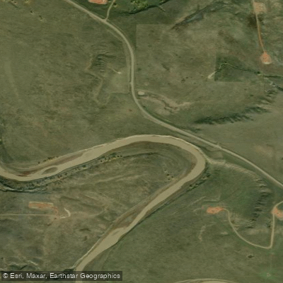
Little Missouri River
- Boat Ramps
- 0
- Access Points
- 2
- Campsites
- 22
The Little Missouri River, winding through the rugged Badlands of western North Dakota, offers paddlers a unique and remote wilderness experience. This scenic waterway, designated as North Dakota's only State Scenic River, carves its way through a landscape of dramatic buttes, colorful ravines, and expansive plateaus, providing a stunning backdrop for canoeists and kayakers alike.
The river's main paddling route stretches approximately 107.5 miles from Medora to the Long X Bridge on U.S. Highway 85, passing through Theodore Roosevelt National Park and the Little Missouri National Grassland. This full route typically takes about five days to complete, offering ample opportunity to immerse oneself in the solitude and beauty of the Badlands.
For those seeking shorter adventures, popular day trips include the 3-mile stretch from Sully Creek State Park to the Medora Bridge, and the 5-6 mile float within the North Unit of Theodore Roosevelt National Park. Generally classified as flatwater, the Little Missouri is suitable for paddlers of various skill levels.
However, water levels can fluctuate significantly, especially in late summer, potentially creating shallow conditions with numerous sandbars. This variability adds an element of challenge and requires adaptability from paddlers. The best time to paddle the Little Missouri is typically May and June when water levels are more favorable due to spring snowmelt. As summer progresses, the river's flow gradually declines, making late-season trips more challenging and potentially requiring more portaging.
Wildlife enthusiasts will find the Little Missouri a paradise. The river and its surroundings are home to a diverse array of animals, including bison, wild horses, deer, and various bird species. Paddlers often have the opportunity to observe these creatures in their natural habitat, especially when they come to the river to drink.
Notable landmarks along the river include the iconic landscapes of Theodore Roosevelt National Park, with its colorful sedimentary rock formations telling the geological story of the region. The river also passes through historically significant areas, including lands once ranched by Theodore Roosevelt himself, adding a layer of cultural interest to the journey.
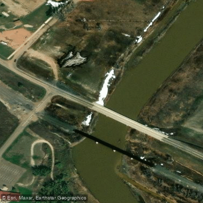
Access points for the river are somewhat limited due to its remote nature. Medora serves as a primary put-in location, while other access points include Sully Creek State Park, the North Unit of Theodore Roosevelt National Park, and various bridge crossings such as Highway 85 and Highway 22.
Safety considerations are paramount when paddling the Little Missouri. The river's remoteness means that help can be far away in case of emergencies. Paddlers should be well-prepared with adequate supplies, including extra food and water. It's also crucial to check water levels before embarking on a trip, as low water can significantly impact travel times and navigability.
For those seeking a multi-day adventure, the full Medora to Long X Bridge route offers an immersive Badlands experience. This trip allows paddlers to fully appreciate the changing landscape and potentially camp at primitive sites along the river's edge. However, it's essential to be self-sufficient and practice Leave No Trace principles in this fragile ecosystem.
The Little Missouri River provides a rare opportunity to explore one of America's most unique landscapes from a water-level perspective. Whether embarking on a day trip or a week-long expedition, paddlers on this river are treated to a journey through time, geology, and the untamed beauty of the North Dakota Badlands.
Water access, boat ramps & amenities
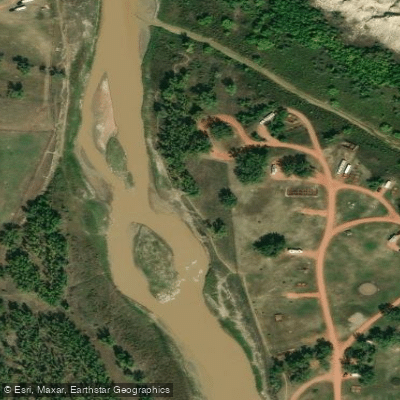
Learn how to get on Little Missouri River. Uncover great paddling access points, boat ramps, and all the facilities you need for an unforgettable day on the water. Some locations shown may border or include private property. Always check property boundaries and applicable regulations before visiting. PaddleWays's Public & Private Land layer can help you plan your access with confidence.
Paddle smarter with real-time insights
Whether you're en route and conditions shift or you're looking for the best spot based on current flows, we enable you to make informed decisions on the fly.








Find Places to Paddle

Over 400,000 Places to Paddle
Every user gets free access to launch points, boat ramps, and public property parcels.


Water and weather conditions (10 day forecast)
See the best times to paddle Little Missouri River and check the forecast before you go.
LITTLE MISSOURI RIVER AT MEDORA, ND
All Flow Stations
Paddling near Little Missouri River
Explore Montana waters
Top paddling waters
Popular Cities
Loading popular cities...
Explore near Little Missouri River
Access points
- Medora Access
- Sully Creek Access
- Little Missouri River Bridge
- Little Missouri River Bridge
- Little Missouri River Bridge
- Little Missouri Riv 009 Bridge
- Little Missouri River Bridge
- Little Missouri River Bridge
- Little Missouri River Bridge
- Little Missouri Riv 014 Bridge
- Little Missouri River Bridge
- Little Missouri River Bridge
- All 90 spots
More in Montana

Smarter Paddling Starts in the App.
Paddleways gives you everything you need to plan smarter, paddle better, and own every trip from first launch to takeout.