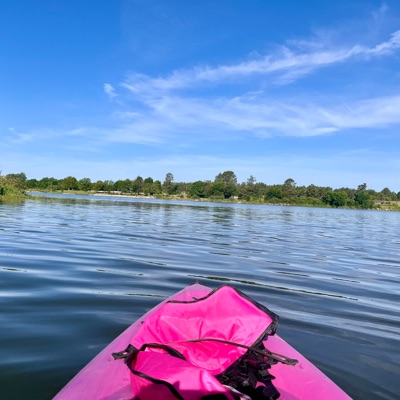
Kathy K.
1,440 cfs at Barneston Nebr
Big blue River 
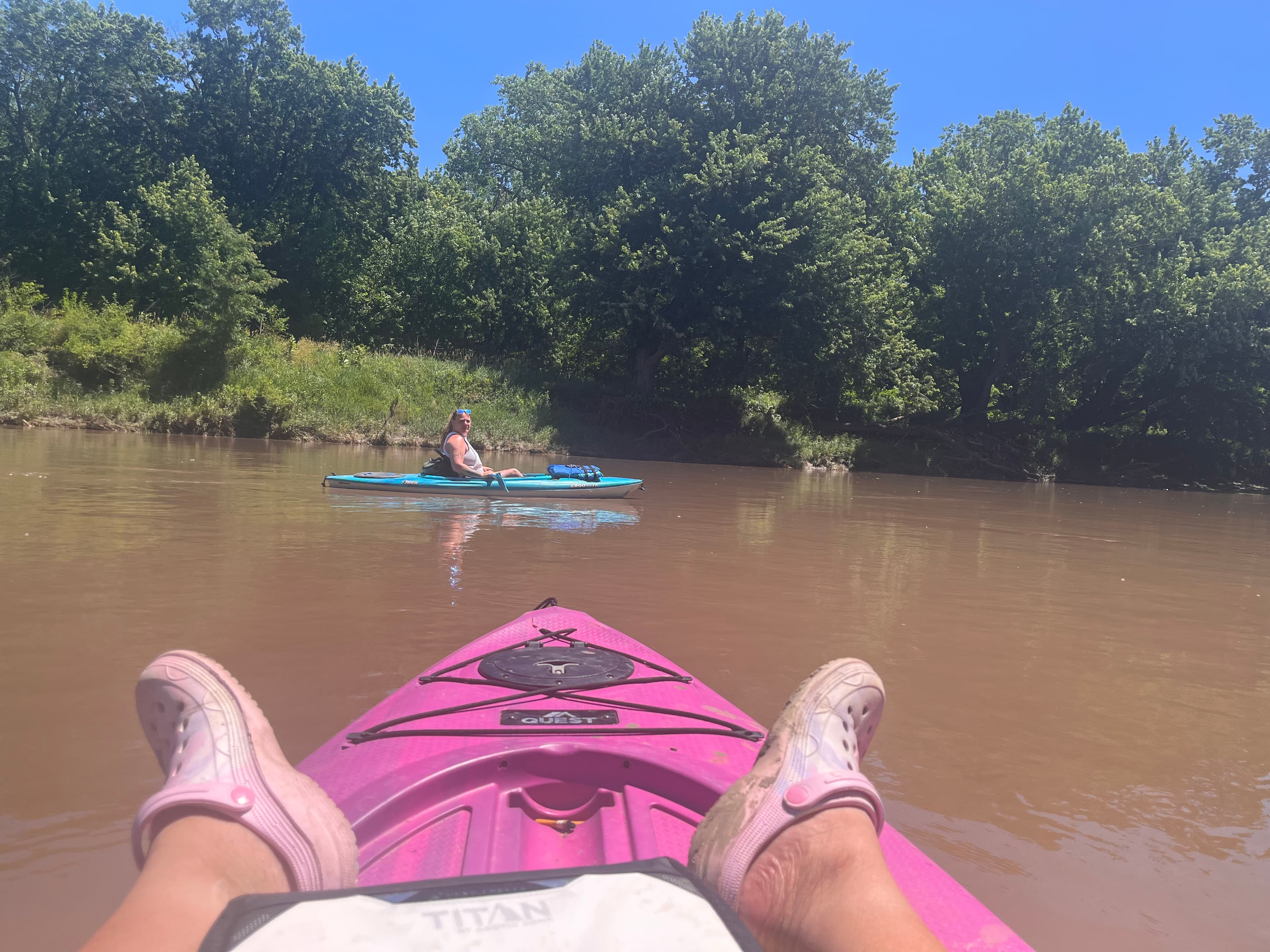
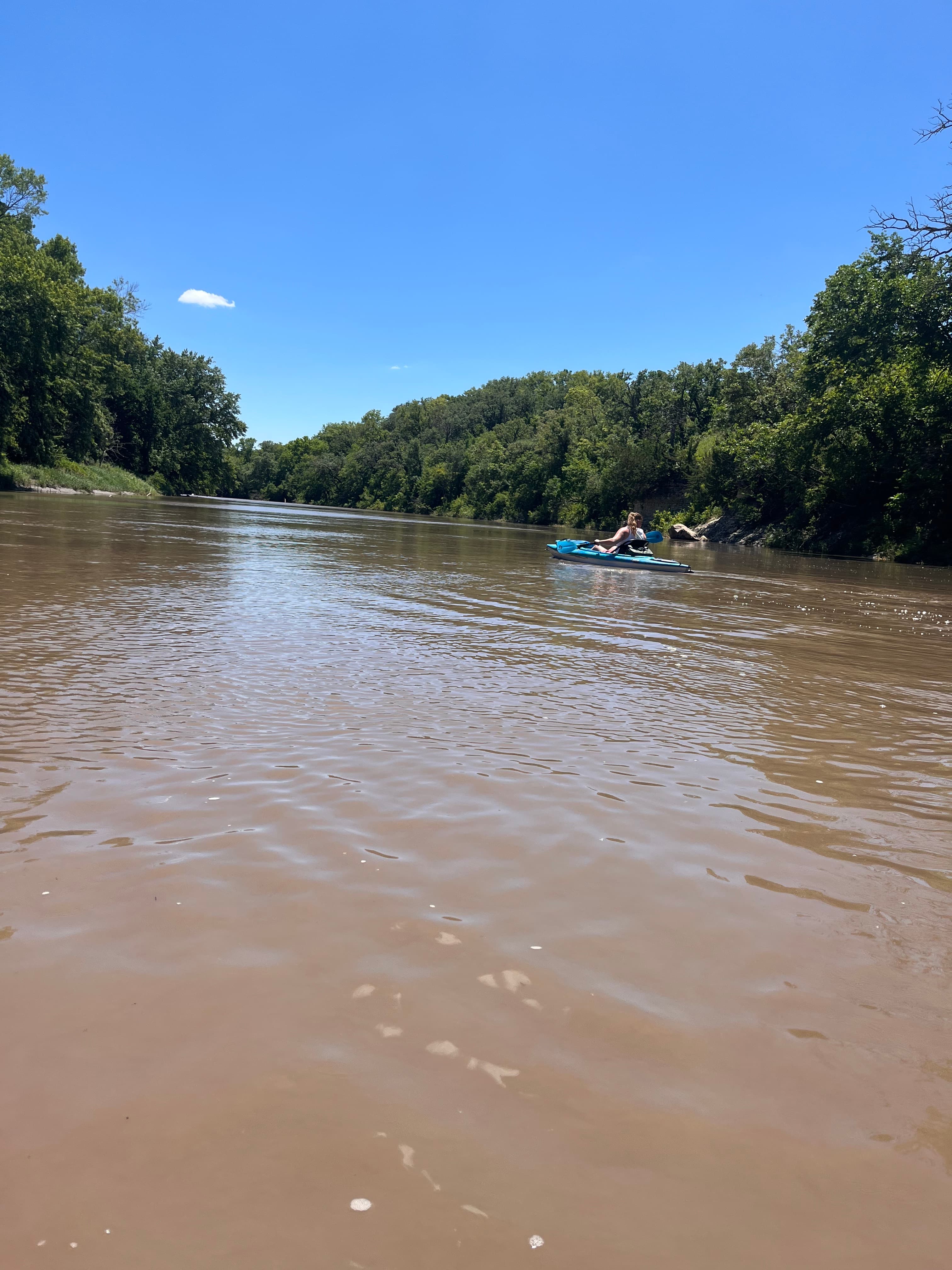
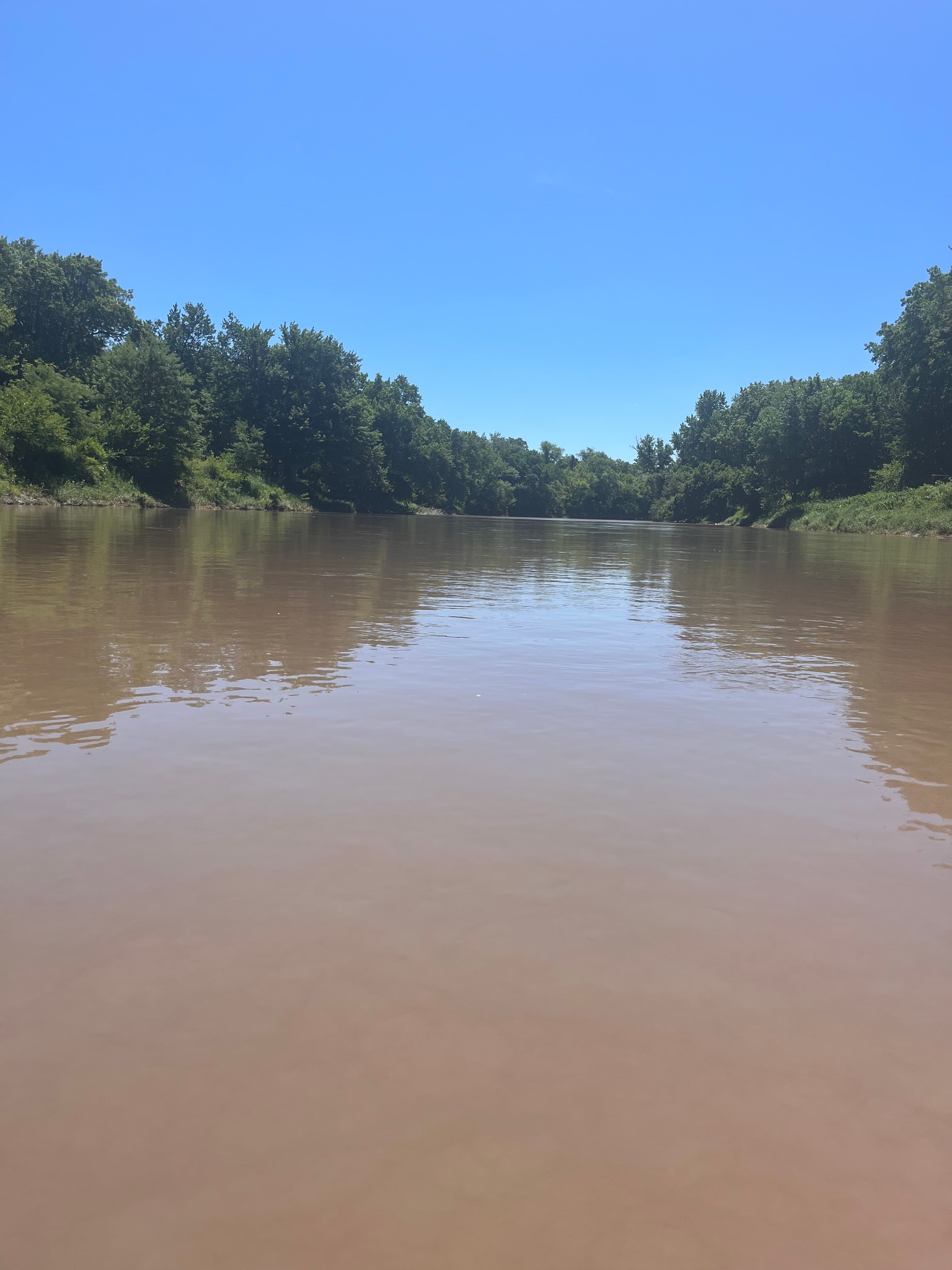 +7
Curated by PaddleWays
10.6 mi flatwater route on the Big Blue River in Nebraska
Level right now
Route facts
Dam under West Court Street bridge
About this route
This section of the Big Blue River offers a pleasant 10.6-mile paddling experience in southeastern Nebraska.
The put-in is located at the newly constructed dock access point on the south side of the West Court Street bridge in Beatrice, part of a 2021 project to improve river access for kayakers and canoeists.
Paddlers should be aware of a dam under the West Court Street bridge, which may require portaging depending on water levels and experience.
The Beatrice Mary Family YMCA has organized kayak events on this stretch, indicating it's suitable for family-friendly paddling adventures. The take-out is at the Beatrice Boat and Campers Club in Holmesville.
Put-in and take-out
Put-in
Take-out
Hazards
No paddler has reported a hazard here yet, so these are the dams, falls and big rapids on our map. Hazards change with flows and storms, so check them before you launch.
From the community
Real trips from PaddleWays paddlers who ran this route: how the flows were, and what to watch for.
Loading trip reports
Kathy K.
1,440 cfs at Barneston Nebr
Big blue River 
+7The gauges near this route and the forecast where it starts, so you can pick your day.
No forecast data available.
Same water
The other curated routes on the Big Blue River, each with how it is running now.
RouteClass II
PaddleWays gives you everything you need to plan smarter, paddle better, and own every trip from first launch to takeout.
