Rio Ruidoso
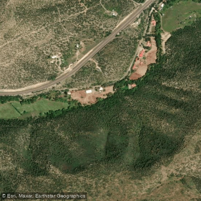
Rio Ruidoso
- Boat Ramps
- 0
- Access Points
- 2
- Campsites
- 3
The Rio Ruidoso is a perennial stream system originating in the Sacramento Mountains of south-central New Mexico, within the Lincoln National Forest. This mountain waterway flows eastward through the scenic wilderness of the Ruidoso area, eventually joining the Rio Hondo. The river's watershed is a crucial part of the larger Pecos River basin.
Paddling opportunities on the Rio Ruidoso are primarily concentrated in its upper reaches, with the most notable section being the Headwaters to National Forest Boundary run. This approximately 10-mile stretch offers a mix of Class II-III rapids, providing an exciting challenge for intermediate paddlers. The river's character transitions from steep, boulder-strewn headwaters to a more moderate gradient as it approaches the forest boundary.
Water levels are typically most favorable for paddling in late spring and early summer, coinciding with snowmelt from the Sacramento Mountains. However, monsoon rains in late summer can also create temporary paddling conditions. Paddlers should always check current flow rates and weather forecasts, as flash flooding can occur rapidly in this mountain environment.
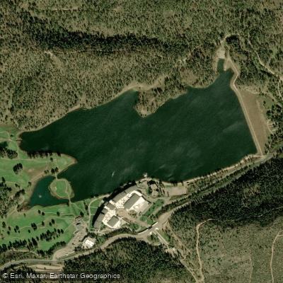
The Rio Ruidoso flows through diverse ecosystems, from high-elevation coniferous forests to pinyon-juniper woodlands. Wildlife enthusiasts may spot elk, mule deer, and various bird species along the river corridor. The surrounding Lincoln National Forest offers additional recreational opportunities, including hiking and mountain biking on the extensive trail systems near Grindstone Lake.
Access to the river is primarily through the Lincoln National Forest. The town of Ruidoso serves as the main gateway for paddlers, offering amenities and lodging. It's essential to respect private property boundaries and obtain necessary permits for forest access.
Historically, the Rio Ruidoso has been vital to the region's indigenous peoples and later settlers. Today, it remains an important water source for local communities and supports the area's tourism-based economy.
Safety considerations include the potential for rapid water level changes and the presence of strainers and log jams, particularly in the upper reaches. Paddlers should be prepared for remote conditions and carry appropriate safety gear. Local regulations may apply, especially regarding fire restrictions during dry periods.
While multi-day trips on the Rio Ruidoso itself are limited due to its size, the river offers an excellent starting point for exploring the broader waterways of southern New Mexico, including the nearby Rio Hondo and Pecos River systems.
Water access, boat ramps & amenities
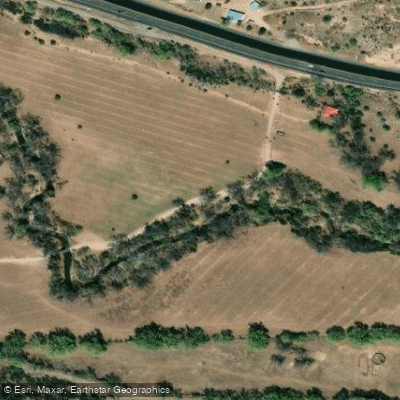
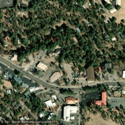
Learn how to get on Rio Ruidoso. Uncover great paddling access points, boat ramps, and all the facilities you need for an unforgettable day on the water. Some locations shown may border or include private property. Always check property boundaries and applicable regulations before visiting. PaddleWays's Public & Private Land layer can help you plan your access with confidence.
Paddle smarter with real-time insights
Whether you're en route and conditions shift or you're looking for the best spot based on current flows, we enable you to make informed decisions on the fly.








Find Places to Paddle

Over 400,000 Places to Paddle
Every user gets free access to launch points, boat ramps, and public property parcels.


Water and weather conditions (10 day forecast)
See the best times to paddle Rio Ruidoso and check the forecast before you go.
RIO RUIDOSO AT RUIDOSO, NM
All Flow Stations
Explore New Mexico waters
Top paddling waters
Popular Cities
Loading popular cities...
Explore near Rio Ruidoso
Access points
Nearby waters
More in New Mexico

Smarter Paddling Starts in the App.
Paddleways gives you everything you need to plan smarter, paddle better, and own every trip from first launch to takeout.