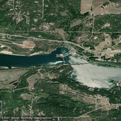
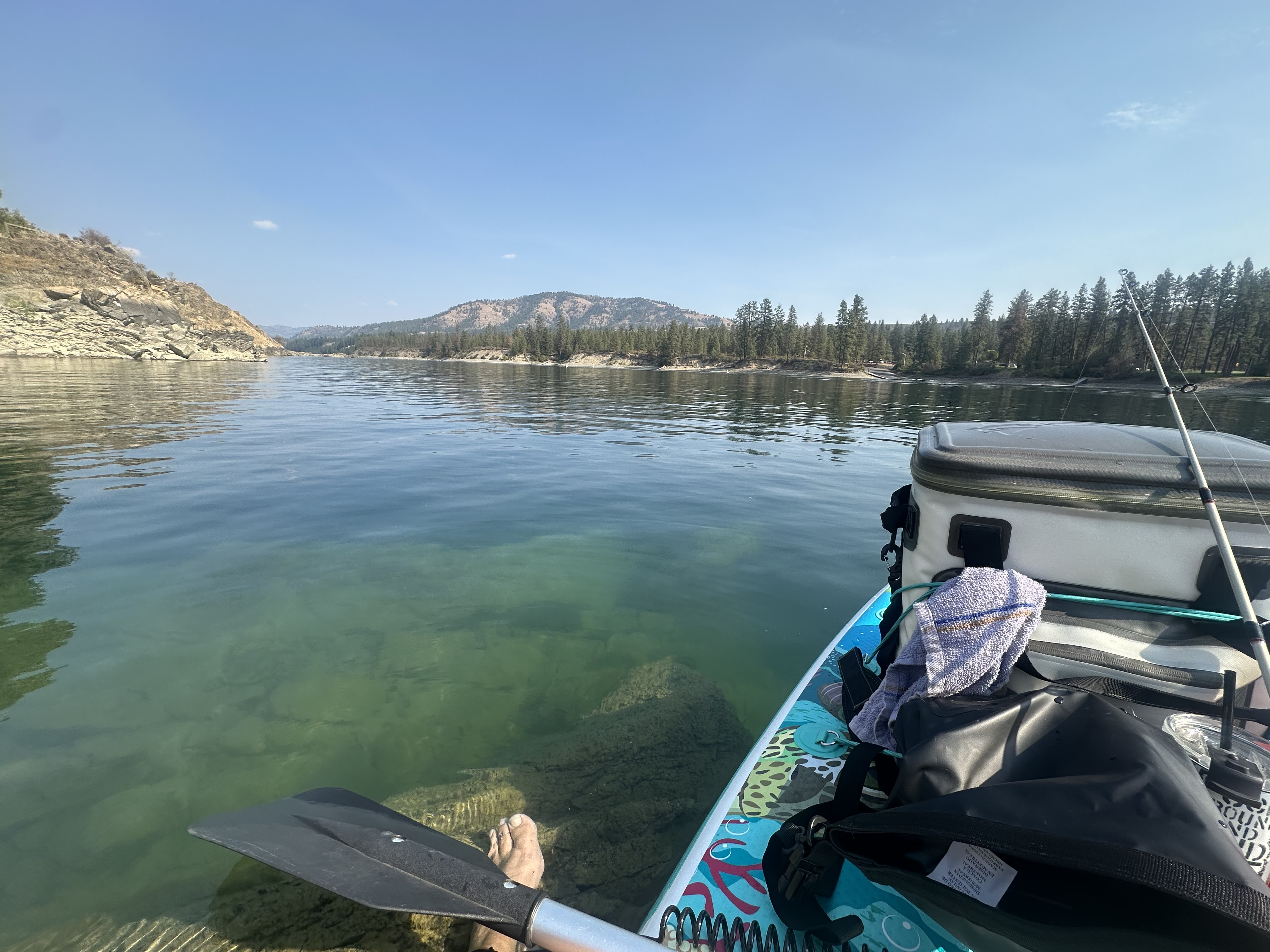
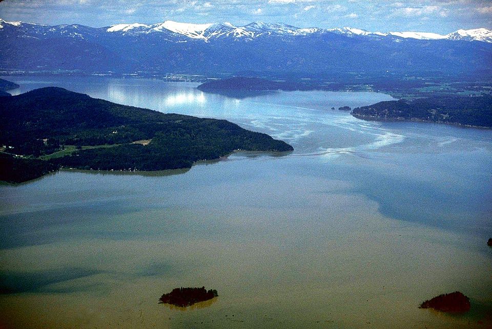
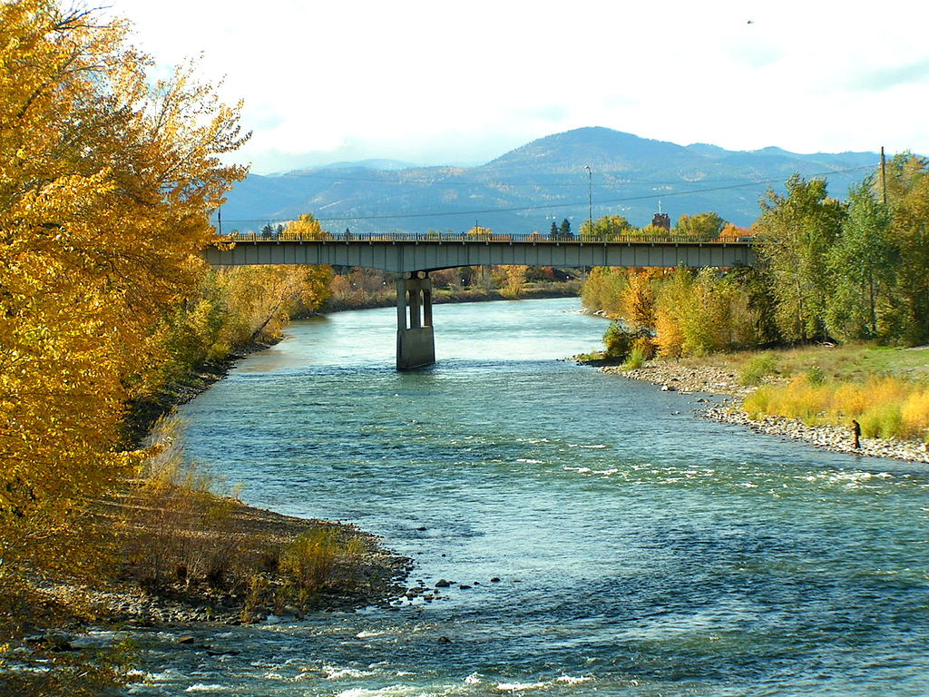
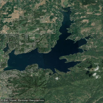
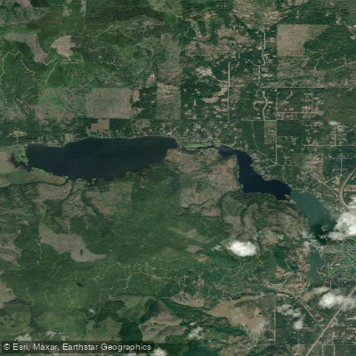
The Pend Oreille River is a scenic waterway that flows northward from Lake Pend Oreille in northern Idaho through northeastern Washington before crossing into British Columbia, Canada. This 130-mile long river is part of the Columbia River watershed, with its waters eventually reaching the Pacific Ocean. The river offers diverse paddling opportunities along its course, with the 70-mile Pend Oreille River Water Trail being a highlight for canoeists and kayakers. This trail begins in Oldtown, Idaho and follows the river north through rural communities like Newport, Usk, and Cusick before ending at Boundary Dam near the Canadian border.
The difficulty ranges from flatwater sections suitable for beginners to challenging Class III-IV rapids in certain areas, particularly near Metaline Falls. Paddlers can enjoy a variety of experiences, from serene floats through wildlife-rich areas to more adventurous trips through scenic canyons. The 12-mile Canyon Reach from Metaline to Boundary Dam is particularly spectacular, featuring limestone cliffs, caves, and emerald green waters. This section typically takes 6+ hours to paddle and requires intermediate to advanced skills.
The best paddling season is generally from late spring through early fall, with water levels and flow rates influenced by snowmelt and dam operations. Paddlers should always check current conditions and dam release schedules before embarking on a trip.
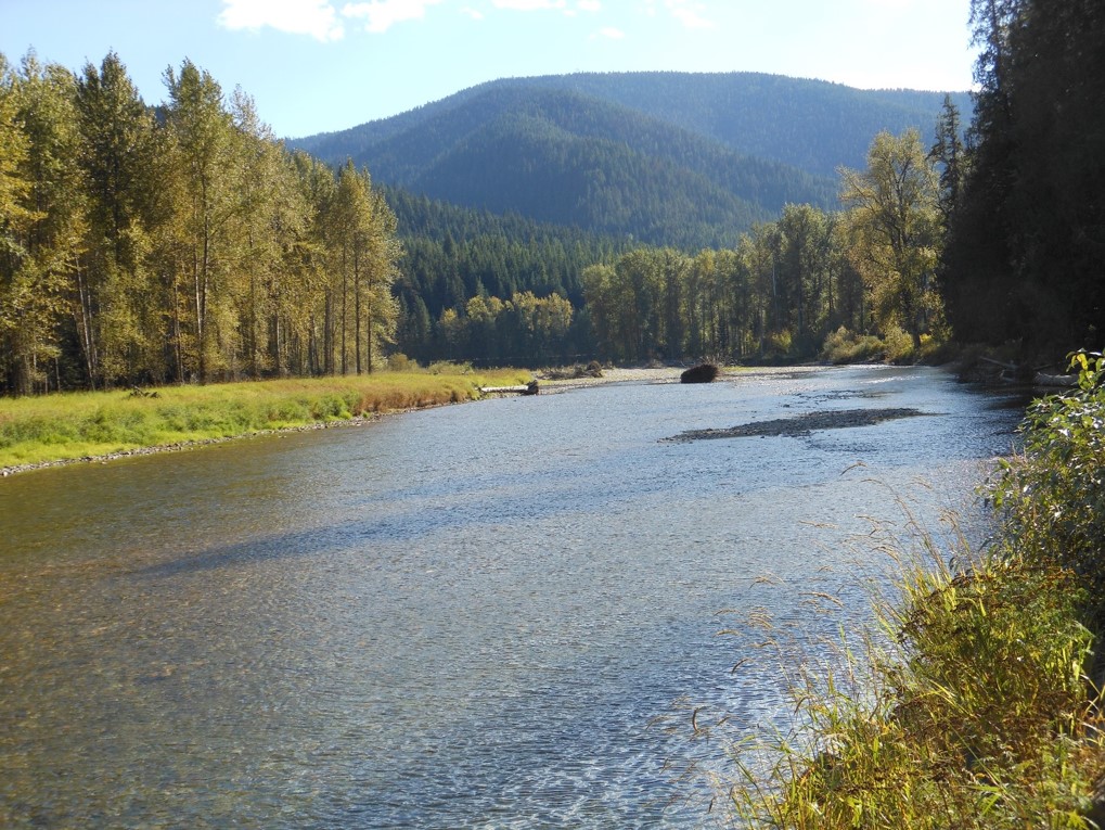
The river valley is home to abundant wildlife, including nesting birds, waterfowl, and larger mammals like deer and black bears. The surrounding landscape features dense forests, dramatic cliffs, and occasional waterfalls like Peewee Falls in the Z Canyon stretch.
Key access points include Oldtown (ID), Newport (WA), Usk (WA), Cusick (WA), Metaline Falls (WA), and Boundary Dam (WA). Paddlers should be aware of multiple dams along the route, including Box Canyon Dam and Boundary Dam, which require portages.
The Pend Oreille River holds significant cultural importance, with the Kalispel Indian Reservation located along its banks. The Kalispel Tribe has a long history of using the river for transportation and sustenance.
Safety considerations include being prepared for changing weather conditions, wearing appropriate safety gear, and being aware of dam operations that can affect water levels and currents. Paddlers should also be cautious of submerged obstacles and strong eddies, particularly in the more challenging sections.
For those interested in multi-day trips, the full 70-mile water trail can be completed in 3-5 days, with numerous camping opportunities along the way. This allows paddlers to fully immerse themselves in the natural beauty and rich history of the Pend Oreille River valley.