Mzimvubu
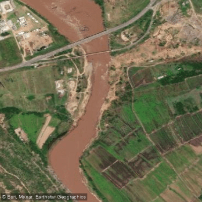
Mzimvubu
- Boat Ramps
- 0
- Access Points
- 0
- Campsites
- 2
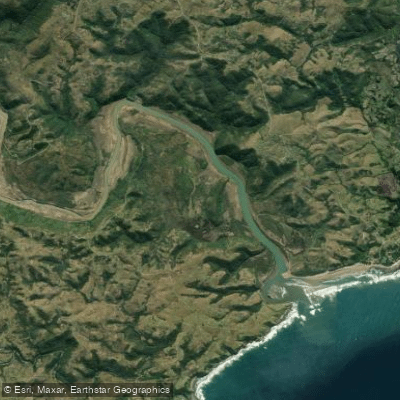
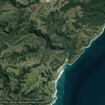
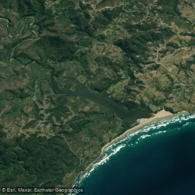
The Mzimvubu (also spelled Umzimvubu) is a largely undeveloped wild river in the Eastern Cape Province of South Africa. Its name means "place of the hippopotamus" in Xhosa. The river originates in the Drakensberg at an elevation of approximately 2,050 metres near Matatiele and Mount Fletcher, close to the Lesotho border, and flows roughly 250–400 km in a southeastern direction before emptying into the Indian Ocean through a dramatic gorge known as the "Gates of St John" at Port St. Johns. The catchment area covers approximately 19,853 km².
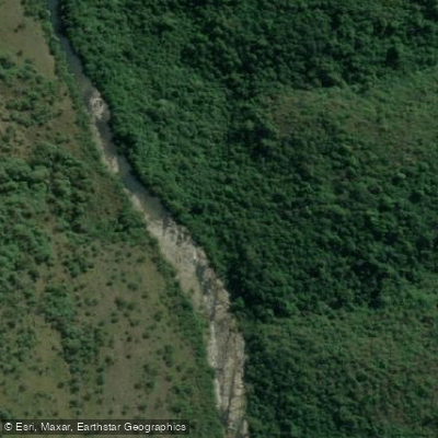
The river has been paddled by relatively few parties and remains one of South Africa's more remote and challenging waterways. The upper section from the source near St. Bernards Peak Hotel features tight technical creeking, long flatwater training stretches above Cedarville, and large boulder-strewn rapids in steep dolerite gorges — described as resembling a small Zambezi at peak summer flows. The gorge section above the Tsita confluence is rated grade 4/5. The lower section from the N2 highway down to Port St. Johns has been documented in Celliers Kruger's book "Run the Rivers of Southern Africa" and is considered suitable for experienced paddlers only. A common put-in for the lower section is near the village of Dikela, though access points along the river generally require careful planning using topographic maps.
The two major tributaries, the Tina and Tsitsa rivers, join the Umzimvubu in the lower reaches, and all three rivers feature deep gorges with significant waterfalls near their respective confluences. The Wits Explorers Society completed a first descent of the full river in 1990 using a ten-man raft. Subsequent expeditions in 2010 explored the deeper gorges near the falls.
The river's character varies considerably along its length, from manageable flatwater to serious whitewater requiring advanced skills. The upper sections are paddled when seasons and water volumes allow, suggesting flow-dependent access. The lower estuary at Port St. Johns is navigable by yacht and smaller craft, with the area noted for unpredictable weather. Given the remote and largely undeveloped nature of the catchment, paddlers should plan for self-sufficient expeditions with limited infrastructure along most of the river's course.
Water access, boat ramps & amenities
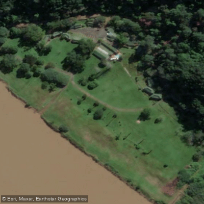
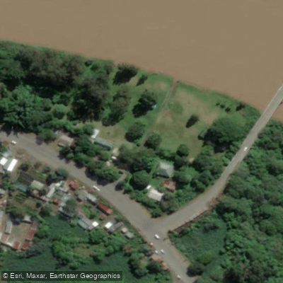
Learn how to get on Mzimvubu. Uncover great paddling access points, boat ramps, and all the facilities you need for an unforgettable day on the water. Some locations shown may border or include private property. Always check property boundaries and applicable regulations before visiting. PaddleWays's Public & Private Land layer can help you plan your access with confidence.
Paddle smarter with real-time insights
Whether you're en route and conditions shift or you're looking for the best spot based on current flows, we enable you to make informed decisions on the fly.







Eastern Cape licenses and regulations

Find Places to Paddle

Over 400,000 Places to Paddle
Every user gets free access to launch points, boat ramps, and public property parcels.


Water and weather conditions (10 day forecast)
See the best times to paddle Mzimvubu and check the forecast before you go.
Mzimvubu River @ Ku-Makhola
Paddling near Mzimvubu
Explore Eastern Cape waters
Top paddling waters
No waters available right now.
Popular Cities
Loading popular cities...

Smarter Paddling Starts in the App.
Paddleways gives you everything you need to plan smarter, paddle better, and own every trip from first launch to takeout.