uMhlathuze
- Saltwater
- Estuary
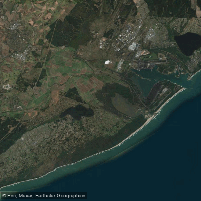
uMhlathuze
- Saltwater
- Estuary
- Sq. miles
- 22
- Boat Ramps
- 0
- Access Points
- 0
- Campsites
- 0
The uMhlathuze water body in the King Cetshwayo District Municipality is a substantial coastal lagoon, historically known as the Mhlathuze Lagoon, which forms the basis for the city and deep-water port of Richards Bay. This is a saltwater estuary system covering approximately 30 square kilometres, creating one of the largest natural harbours on the African continent. The lagoon's geography is defined by its role as a major industrial port, which fundamentally shapes the paddling environment. The area is characterized by significant commercial maritime traffic, including large ships using the deep-water harbour. Paddlers must expect high levels of boat traffic and should plan routes with extreme caution, strictly avoiding the main shipping channels. The presence of oil and gas pipelines further indicates a heavily industrialized zone. Access points and specific launch sites for small craft are not detailed, but the urban development of Richards Bay, including suburbs like Meerensee, Arboretum, and Veldenvlei along the lagoon's shores, suggests potential public access points exist, though these would be adjacent to port infrastructure. The ecological character of the lagoon is historically significant, having been protected as the Richards Bay Game Sanctuary as early as 1935, which suggests the potential for wildlife viewing despite the industrial setting. Paddling here offers a unique experience dominated by the scale of port operations, with views of cargo ships and industrial infrastructure, rather than a wilderness setting. Safety is the paramount concern due to the dense commercial vessel traffic.
Water access, boat ramps & amenities
Learn how to get on uMhlathuze. Uncover great paddling access points, boat ramps, and all the facilities you need for an unforgettable day on the water. Some locations shown may border or include private property. Always check property boundaries and applicable regulations before visiting. PaddleWays's Public & Private Land layer can help you plan your access with confidence.
Paddle smarter with real-time insights
Whether you're en route and conditions shift or you're looking for the best spot based on current flows, we enable you to make informed decisions on the fly.







Kwazulu Natal licenses and regulations
No licenses or regulations available for Kwazulu Natal.
Find Places to Paddle

Over 400,000 Places to Paddle
Every user gets free access to launch points, boat ramps, and public property parcels.


Tides, wind & water conditions (10 day forecast)
On open water, wind and tide matter as much as the weather. See the best times to paddle uMhlathuze and check the marine forecast before you launch.
Loading tide predictions…
Paddling near uMhlathuze
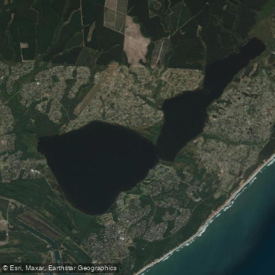
Lake Msingazi
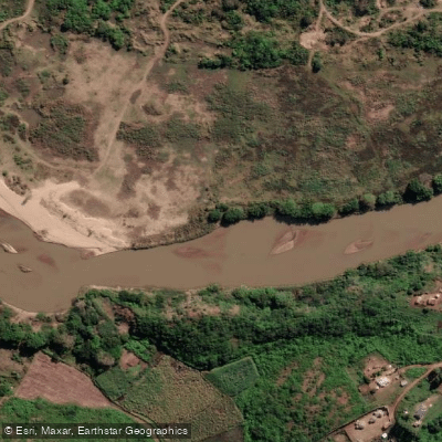
Mfolozi
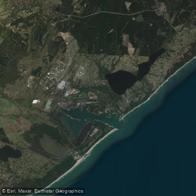
Richards Bay
Msunduzi
Nseleni
St Lucia
Lake St. Lucia
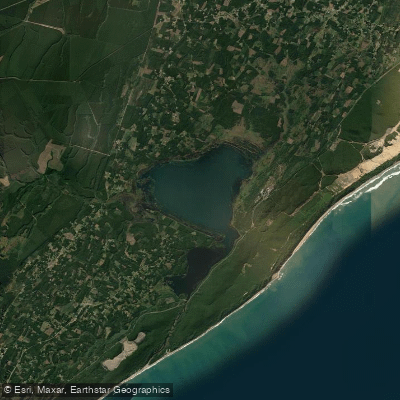
iNhlabane
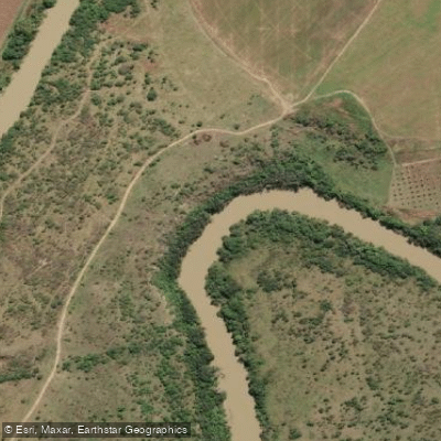
Thukela
Explore Kwazulu Natal waters
Top paddling waters
No waters available right now.
Popular Cities
Loading popular cities...
Explore near uMhlathuze
More in Kwazulu Natal

Smarter Paddling Starts in the App.
Paddleways gives you everything you need to plan smarter, paddle better, and own every trip from first launch to takeout.