Assegaai
Assegaai
- Boat Ramps
- 0
- Access Points
- 0
- Campsites
- 0
The Assegaai River in South Africa is a whitewater river that flows below Heyshope Dam, passing through SAPPI timber plantations for a significant portion of its length. The weir immediately below Heyshope Dam creates a standing wave that is likely to interest playboaters. Downstream, the character of the river shifts toward increasingly frequent and intense rapids, with the gradient and difficulty building as the river progresses. Paddlers who have scouted the river have found themselves in a near-continuous cycle of putting in, paddling a short distance, scouting, and portaging, suggesting the river carries serious whitewater at higher water levels.
Access is a critical planning consideration. Because much of the river runs through SAPPI plantation land, paddlers must make prior access arrangements with SAPPI before attempting a trip. Arriving unannounced is strongly discouraged, and maintaining a respectful relationship with the landowner is important for preserving future access for the paddling community.
Safety demands careful attention on this river. Retentive hydraulics are present, and the consequences of swimming in a retentive hole without a support party are severe. Solo paddling is particularly risky given the remote nature of the run and the frequency of difficult features. The river was scouted during flood conditions, which amplified both the hazards and the appeal of the features, so water level will significantly affect the experience.
Overall, the Assegaai presents as a committing whitewater run suited to experienced creek boaters who have arranged proper access, are paddling with a competent group, and are prepared for extensive portaging on a first descent or unfamiliar run.
Water access, boat ramps & amenities
Learn how to get on Assegaai. Uncover great paddling access points, boat ramps, and all the facilities you need for an unforgettable day on the water. Some locations shown may border or include private property. Always check property boundaries and applicable regulations before visiting. PaddleWays's Public & Private Land layer can help you plan your access with confidence.
Paddle smarter with real-time insights
Whether you're en route and conditions shift or you're looking for the best spot based on current flows, we enable you to make informed decisions on the fly.








Find Places to Paddle

Over 400,000 Places to Paddle
Every user gets free access to launch points, boat ramps, and public property parcels.


Water and weather conditions (10 day forecast)
See the best times to paddle Assegaai and check the forecast before you go.
Assegaai River @ Sobbeken
Paddling near Assegaai
Boesmanspruit
Mhkondvo
Bivane
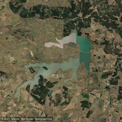
Heyshope
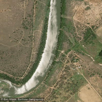
Vaal
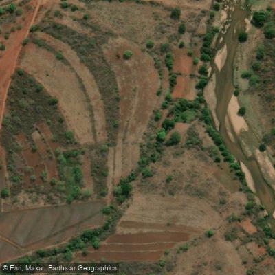
Mkhondvo
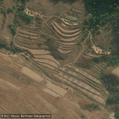
Ngwempisana
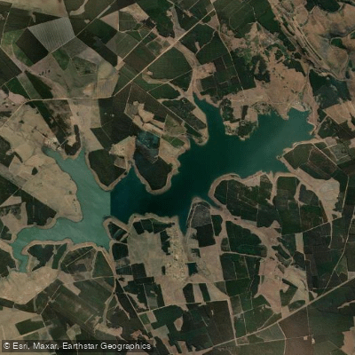
Morgenstond
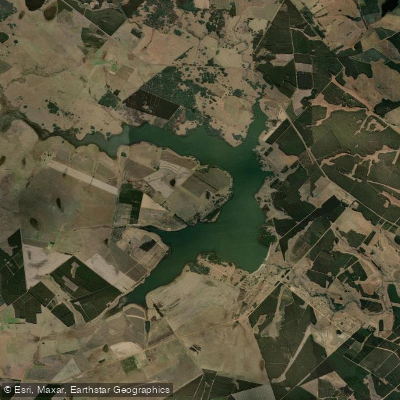
Jericho
Explore Mpumalanga waters
Top paddling waters
No waters available right now.
Popular Cities
Loading popular cities...
Explore near Assegaai
More in Mpumalanga

Smarter Paddling Starts in the App.
Paddleways gives you everything you need to plan smarter, paddle better, and own every trip from first launch to takeout.