Wilge
Wilge
- Boat Ramps
- 0
- Access Points
- 0
- Campsites
- 2
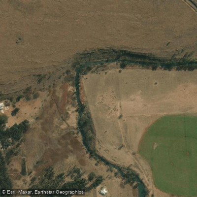
The Wilge River in South Africa flows through Gauteng and Mpumalanga provinces, originating near Leandra in the highveld grasslands and running roughly northward before turning northeast to join the Olifants River approximately 12 km upstream from the head of Loskop Dam reservoir. Its name derives from "wilg," the Afrikaans word for willow, and it is known in Southern Ndebele as iKuthu.
One well-documented paddling section runs from the Verena bridge to just upstream of Loskop Dam, a 28 km pool-drop stretch rated Grade 2 to 4 and suited to kayaks. This trip can be completed in five to seven hours at adequate water levels, though a two-day trip allows more time to take in the surroundings. The first few kilometres after the Verena bridge put-in are generally flat before the river enters a gorge with cliffs dropping directly to the water. The Wilge section down to its confluence with the Olifants River is classed at Grade 2 to 3, with numerous channels and overhanging trees adding technical interest. Once on the Olifants, gradient increases slightly, with one small runnable waterfall and continuous rapids at higher water levels. Flow on the Wilge section is influenced by Premier Mine Dam, while the Olifants section is also affected by Witbank Dam.
The entire stretch is described as very isolated, with abundant birdlife and prominent cliff scenery. On the lower section near Loskop Dam, hippos are present in the dam and move upstream into the river periodically, making them a significant safety consideration. Paddlers should exercise appropriate caution in this area.
A permit is required for the take-out near Loskop Dam Game Reserve. Paddlers should contact the Manager of Loskop Dam Game Reserve at (013) 262-4190 to arrange this in advance. The take-out is located near the area formerly known as Roan Lodge, close to Kanongat.
The Wilge has also been paddled in the Free State near Harrismith, with the section from Swinburne to Harrismith noted in historical accounts. This stretch includes at least one weir, and paddlers should be aware that weirs present serious hazards.
Water access, boat ramps & amenities
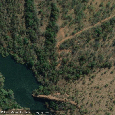
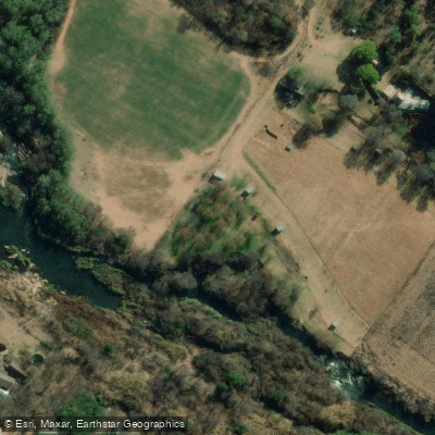
Learn how to get on Wilge. Uncover great paddling access points, boat ramps, and all the facilities you need for an unforgettable day on the water. Some locations shown may border or include private property. Always check property boundaries and applicable regulations before visiting. PaddleWays's Public & Private Land layer can help you plan your access with confidence.
Paddle smarter with real-time insights
Whether you're en route and conditions shift or you're looking for the best spot based on current flows, we enable you to make informed decisions on the fly.








Find Places to Paddle

Over 400,000 Places to Paddle
Every user gets free access to launch points, boat ramps, and public property parcels.


Water and weather conditions (10 day forecast)
See the best times to paddle Wilge and check the forecast before you go.
No forecast data available.
Explore Mpumalanga waters
Top paddling waters
No waters available right now.
Popular Cities
Loading popular cities...
Explore near Wilge
More in Mpumalanga

Smarter Paddling Starts in the App.
Paddleways gives you everything you need to plan smarter, paddle better, and own every trip from first launch to takeout.