Fish
Fish
- Boat Ramps
- 0
- Access Points
- 0
- Campsites
- 0
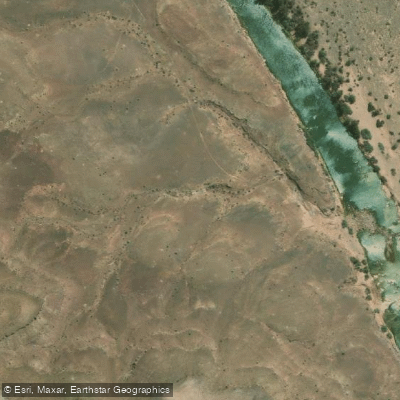
The Fish River in South Africa's Eastern Cape is best known to paddlers through the Fish River Canoe Marathon, one of the country's most demanding and celebrated canoe races. The river runs through the semi-arid landscape of the Eastern Cape, in the vicinity of the town of Cradock, which sits roughly equidistant from Cape Town, Durban, and Johannesburg, making it accessible from all major centers. The race course spans 81.8 kilometers from Grassridge Dam to Cradock, covering the river over two days.
The character of the Fish River is defined by its relentless variety and technical challenge. Over the roughly 82-kilometer course, paddlers encounter approximately 80 rapids and 80 obstacles — averaging roughly one significant feature per kilometer. These include tree blockages, rock-strewn rapids, and weirs, ensuring that paddlers must remain alert and engaged throughout. The river has a reputation as one of the toughest paddling venues in South Africa, and it is frequently mentioned alongside the Dusi and Berg River Canoe Marathons as one of the country's iconic long-distance events.
The Fish River Canoe Marathon has been running since the early 1980s, giving it a long history in South African paddling culture. It has historically been regarded as the largest canoe race in South Africa. The race and the river are associated with the Dabulamanzi Canoe Club, and the event draws participants from across the country.
The surrounding environment is described as desert or semi-arid wilderness, reflecting the dry, open character of the Eastern Cape interior. The put-in at Grassridge Dam and the take-out at Cradock define the primary paddling corridor used for the marathon course.
Water access, boat ramps & amenities
Learn how to get on Fish. Uncover great paddling access points, boat ramps, and all the facilities you need for an unforgettable day on the water. Some locations shown may border or include private property. Always check property boundaries and applicable regulations before visiting. PaddleWays's Public & Private Land layer can help you plan your access with confidence.
Paddle smarter with real-time insights
Whether you're en route and conditions shift or you're looking for the best spot based on current flows, we enable you to make informed decisions on the fly.







Northern Cape licenses and regulations

Find Places to Paddle

Over 400,000 Places to Paddle
Every user gets free access to launch points, boat ramps, and public property parcels.


Water and weather conditions (10 day forecast)
See the best times to paddle Fish and check the forecast before you go.
No forecast data available.
Explore Northern Cape waters
Top paddling waters
No waters available right now.
Popular Cities
Loading popular cities...
Explore near Fish
More in Northern Cape

Smarter Paddling Starts in the App.
Paddleways gives you everything you need to plan smarter, paddle better, and own every trip from first launch to takeout.