Orange
Orange
- Boat Ramps
- 0
- Access Points
- 0
- Campsites
- 7
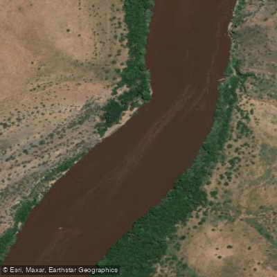
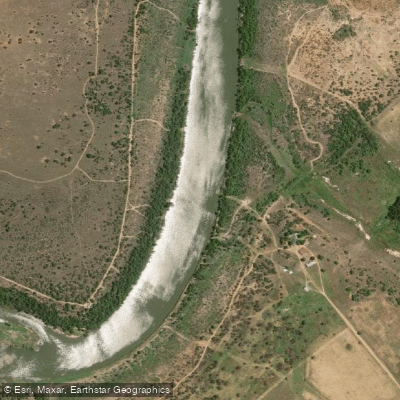
The Orange River (also known as the Gariep River) is South Africa's longest river at approximately 2,200km, flowing westward through an assortment of topography including mountain ranges before emptying into the Atlantic Ocean at Alexander Bay. It forms the border between South Africa and Namibia along much of its lower reaches, offering a remote and expansive paddling environment.
The river accommodates a wide range of paddling styles and experience levels. Certain sections feature rapids capable of testing experienced paddlers, while other stretches are flat and calm. The Augrabies Rush section, located just above Augrabies Falls, offers two 8km pool-drop stretches graded 2 to 3, suitable for kayaks, crocs, and rafts at high water levels, with each section taking roughly 4 to 5 hours. The Neus Falls section, accessible via a dirt road between Kakamas and Keimoes approximately 15km from Kakamas, is a short but intense 800m stretch graded 3 to 5, consisting of steep channels with flat water above and below. Flow on these sections is influenced by releases from Vanderkloof Dam and Bloemhof Dam.
Multi-day trips are a prominent feature of the Orange River experience. Common put-in points include Augrabies Falls National Park, the Richtersveld/Noordoewer area, and Vioolsdrift. The Richtersveld section, beginning near Noordoewer and extending toward the Fish River confluence, is a popular multi-day rafting and canoeing corridor. Trips in this area typically run from two to five days, covering distances such as 76km over four days. Camping on the riverbanks is standard practice on these expeditions.
Commercial operators are active throughout the river, offering guided trips with equipment, meals, and transport included. Access to some sections, particularly around Augrabies, requires arrangement through a commercial operator. The minimum age for commercial trips is typically six years. Wildlife along the river includes the African Fish Eagle and Goliath Heron, and fly-fishing for yellowfish is a notable activity on longer expeditions into more remote sections. The Richtersveld Desert landscape frames much of the lower river corridor, providing a stark and dramatic backdrop to paddling days.
Water access, boat ramps & amenities
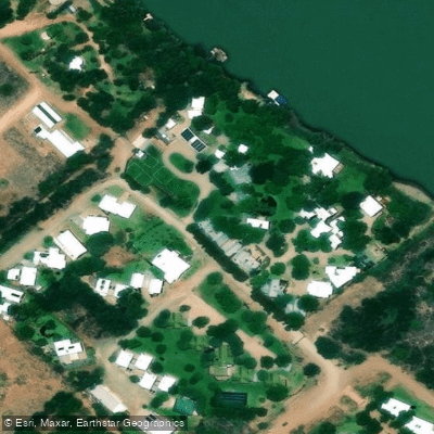
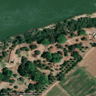
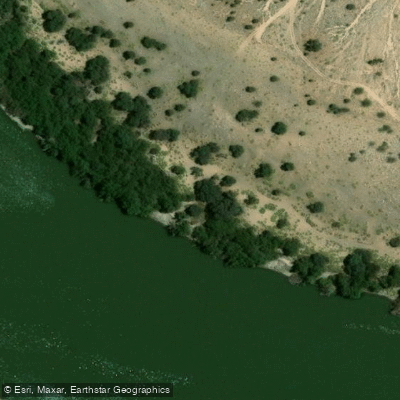
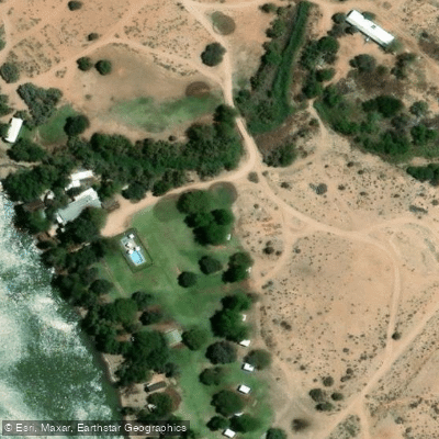
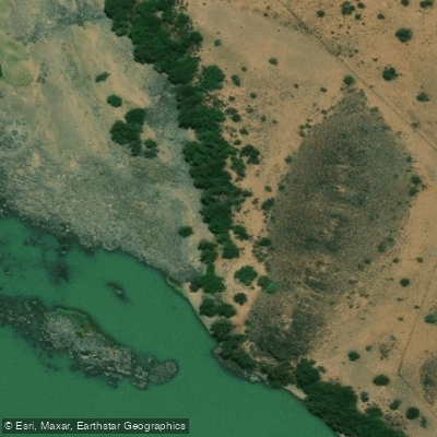
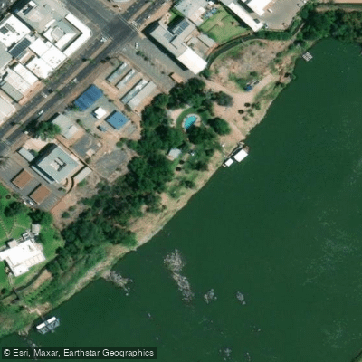
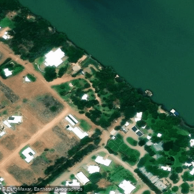
Learn how to get on Orange. Uncover great paddling access points, boat ramps, and all the facilities you need for an unforgettable day on the water. Some locations shown may border or include private property. Always check property boundaries and applicable regulations before visiting. PaddleWays's Public & Private Land layer can help you plan your access with confidence.
Paddle smarter with real-time insights
Whether you're en route and conditions shift or you're looking for the best spot based on current flows, we enable you to make informed decisions on the fly.







Northern Cape licenses and regulations

Find Places to Paddle

Over 400,000 Places to Paddle
Every user gets free access to launch points, boat ramps, and public property parcels.


Water and weather conditions (10 day forecast)
See the best times to paddle Orange and check the forecast before you go.
D3H013
All Flow Stations
Explore Northern Cape waters
Top paddling waters
No waters available right now.
Popular Cities
Loading popular cities...
Explore near Orange

Smarter Paddling Starts in the App.
Paddleways gives you everything you need to plan smarter, paddle better, and own every trip from first launch to takeout.