Orange
Orange
- Boat Ramps
- 0
- Access Points
- 2
- Campsites
- 12
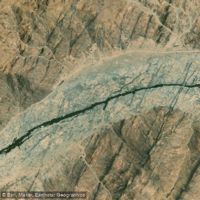
The Orange River (also known as the Gariep River) is South Africa's longest river at approximately 2,200km, flowing westward through the Northern Cape before emptying into the Atlantic Ocean at Alexander Bay. It forms the border between South Africa and Namibia along much of its lower reaches, and the paddling experience ranges from flat, calm water to technical whitewater depending on the section chosen.
The river is dam-controlled, primarily by Vanderkloof Dam and Bloemhof Dam upstream, which influences flow levels and conditions downstream. Popular put-in points include Augrabies Falls National Park, Vioolsdrift, and various points along the Richtersveld. The section just above Augrabies Falls offers two 8km pool-drop stretches graded 2 to 3, suitable for kayaks, crocs, and rafts at high water levels, with each stretch taking roughly 4 to 5 hours to complete. Access to these sections requires arranging permits through a commercial operator. A notable technical section called Neus Falls, located on a dirt road between Kakamas and Keimoes approximately 15km from Kakamas, presents a short but demanding 800m stretch graded 3 to 5, characterized by steep channels with flat water immediately above and below — offering little visual warning of the difficulty ahead.
Multi-day trips are a common format on the Orange, with commercial operators offering itineraries ranging from two days to a week or more. These trips typically involve camping on sandy riverbanks, cooking over open fires, and covering distances such as 76km over four days on the Vioolsdrift section. Crocs — two-person inflatable canoes — are widely used by commercial operators for their stability and accessibility to beginners, while experienced paddlers often use hardshell kayaks.
Weather along the river is generally warm year-round. Summer months of November through January can see temperatures exceeding 40°C, making heat management a serious consideration. The cooler months of May through August bring more comfortable daytime temperatures but can produce very cold nights, requiring appropriate gear for riverside camping.
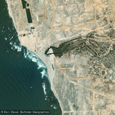
Wildlife viewing is a notable feature of many sections, with bird life particularly abundant. The river also passes through the Augrabies Falls National Park and the Ai-Ais/Richtersveld Transfrontier Park, both of which add ecological and scenic interest to multi-day journeys. The lower reaches near the river mouth pass through a diamond mining restricted area, and paddlers require a permit to enter that zone.
Water access, boat ramps & amenities
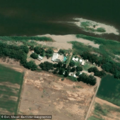
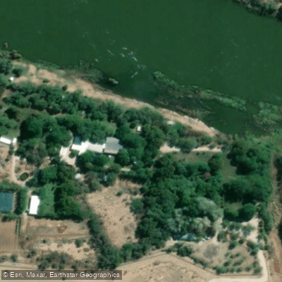
Learn how to get on Orange. Uncover great paddling access points, boat ramps, and all the facilities you need for an unforgettable day on the water. Some locations shown may border or include private property. Always check property boundaries and applicable regulations before visiting. PaddleWays's Public & Private Land layer can help you plan your access with confidence.
Paddle smarter with real-time insights
Whether you're en route and conditions shift or you're looking for the best spot based on current flows, we enable you to make informed decisions on the fly.







Northern Cape licenses and regulations

Find Places to Paddle

Over 400,000 Places to Paddle
Every user gets free access to launch points, boat ramps, and public property parcels.


Water and weather conditions (10 day forecast)
See the best times to paddle Orange and check the forecast before you go.
D8H004
All Flow Stations
Explore Northern Cape waters
Top paddling waters
No waters available right now.
Popular Cities
Loading popular cities...
Explore near Orange
Access points
More in Northern Cape

Smarter Paddling Starts in the App.
Paddleways gives you everything you need to plan smarter, paddle better, and own every trip from first launch to takeout.