Río Carcarañá
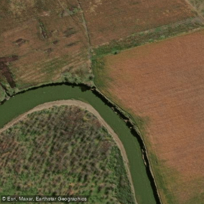
Río Carcarañá
- Boat Ramps
- 3
- Access Points
- 0
- Campsites
- 12
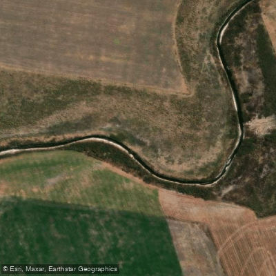
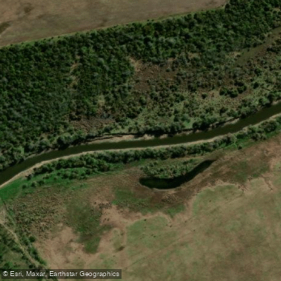
The Río Carcarañá runs approximately 240 kilometres in total, originating at the confluence of the Río Tercero and the Saladillo River near Cruz Alta in Córdoba before crossing into Santa Fe province. Within Santa Fe, the river follows a winding course — first turning south, then east, and finally northeast — before emptying into the Río Coronda south of Gaboto. The Coronda in turn connects to the Río Paraná roughly 7 kilometres below the Carcarañá's mouth, meaning a paddler completing the full run would eventually link into one of South America's major river systems.
The river is navigable by medium-sized vessels along its length, though the character changes notably within Santa Fe. After receiving the waters of the Cañada de Gómez near the city of the same name, the Carcarañá develops cascades and becomes confined within ravines reaching up to 20 metres in height. This section represents a significant change in gradient and should be treated as a serious hazard requiring careful scouting. The river has earned a local reputation as "el río rebelde" — the rebel river — a characterization that reflects its unpredictable nature in these constrained reaches.
The river passes through or near several towns in Santa Fe, including Arteaga, San José de la Esquina, Arequito, Casilda, Carcarañá, Andino, and Gaboto, which may offer access points or resupply options along a multi-day route. The surrounding landscape is part of one of Argentina's most productive agricultural zones, and the river basin accounts for roughly 2 percent of Santa Fe's territory. The area also has historical and paleontological significance, with important fossil discoveries made along its banks.
Paddlers planning a trip should be particularly attentive to the cascade and ravine section that develops after the Cañada de Gómez confluence, as this stretch represents the most technically demanding portion of the river within Santa Fe.
Water access, boat ramps & amenities
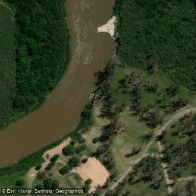
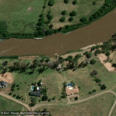
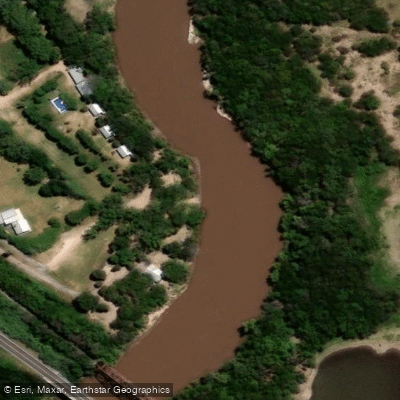
Learn how to get on Río Carcarañá. Uncover great paddling access points, boat ramps, and all the facilities you need for an unforgettable day on the water. Some locations shown may border or include private property. Always check property boundaries and applicable regulations before visiting. PaddleWays's Public & Private Land layer can help you plan your access with confidence.
Paddle smarter with real-time insights
Whether you're en route and conditions shift or you're looking for the best spot based on current flows, we enable you to make informed decisions on the fly.







Córdoba licenses and regulations

Find Places to Paddle

Over 400,000 Places to Paddle
Every user gets free access to launch points, boat ramps, and public property parcels.


Water and weather conditions (10 day forecast)
See the best times to paddle Río Carcarañá and check the forecast before you go.
Carcarañá - Pueblo Andino
All Flow Stations

Explore Córdoba waters
Top paddling waters
No waters available right now.
Popular Cities
Loading popular cities...
Explore near Río Carcarañá
Access points
Nearby waters
More in Córdoba

Smarter Paddling Starts in the App.
Paddleways gives you everything you need to plan smarter, paddle better, and own every trip from first launch to takeout.