Arroyo de las Tunas
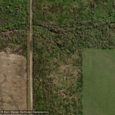
Arroyo de las Tunas
- Boat Ramps
- 0
- Access Points
- 0
- Campsites
- 0
The Arroyo de las Tunas is a 37-kilometer-long waterway flowing through the Entre Ríos Province of Argentina. As a paddling destination, it is represented on specialized planning platforms that provide tools for viewing access points, water conditions, and public-land boundaries, indicating it is a recognized route for human-powered watercraft. These resources suggest the arroyo is suitable for kayaking and stand-up paddleboarding. The overall character of the paddling experience is defined by the flat, interconnected wetland landscapes typical of the region, offering a tranquil and immersive natural setting. The existence of dedicated mapping tools implies that multiple access points are identifiable for trip planning. The waterway's 37-kilometer length allows for multi-day expeditions or shorter day trips, depending on the chosen section. Paddlers can expect a slow-moving, meandering course through the Entre Ríos countryside, with opportunities to observe local flora and fauna. No specific hazards, seasonal restrictions, water quality issues, or facilities are mentioned in the available data, so paddlers must conduct thorough, independent research regarding current conditions, permissions, and safety precautions before embarking on a trip.
Water access, boat ramps & amenities
Learn how to get on Arroyo de las Tunas. Uncover great paddling access points, boat ramps, and all the facilities you need for an unforgettable day on the water. Some locations shown may border or include private property. Always check property boundaries and applicable regulations before visiting. PaddleWays's Public & Private Land layer can help you plan your access with confidence.
Paddle smarter with real-time insights
Whether you're en route and conditions shift or you're looking for the best spot based on current flows, we enable you to make informed decisions on the fly.







Entre Ríos licenses and regulations

Find Places to Paddle

Over 400,000 Places to Paddle
Every user gets free access to launch points, boat ramps, and public property parcels.


Water and weather conditions (10 day forecast)
See the best times to paddle Arroyo de las Tunas and check the forecast before you go.
No forecast data available.
Paddling near Arroyo de las Tunas
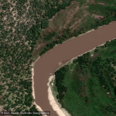
Río Gualeguay
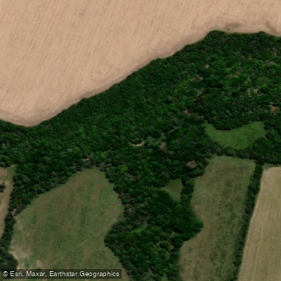
Arroyo Martínez
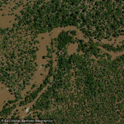
Arroyo Durazno
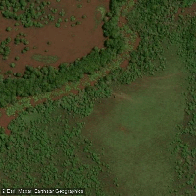
Arroyo Raíces
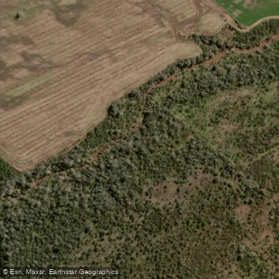
Arroyo El Durazno
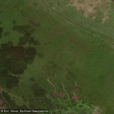
Arroyo Saca Calzones
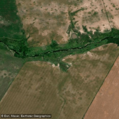
Arroyo Tapera de Queipo
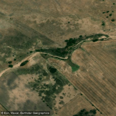
Arroyo del Durazno
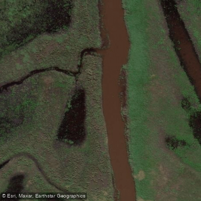
Arroyo Los Loros
Explore Entre Ríos waters
Top paddling waters
No waters available right now.
Popular Cities
Loading popular cities...
Explore near Arroyo de las Tunas

Smarter Paddling Starts in the App.
Paddleways gives you everything you need to plan smarter, paddle better, and own every trip from first launch to takeout.