Río Gualeguay
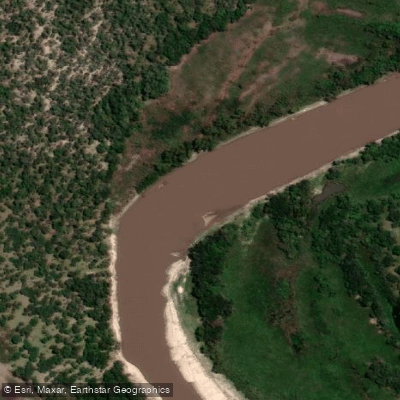
Río Gualeguay
- Boat Ramps
- 0
- Access Points
- 0
- Campsites
- 1
The Río Gualeguay is one of the major rivers of Entre Ríos Province, running approximately 350 to 375 kilometres in a general south-southwestward direction through the center of the province. Its source lies in the north, in the region between Federación and San José de Feliciano, and it passes through or near the cities of Villaguay, Rosario del Tala, and Gualeguay before emptying into the Río Paraná Ibicuy, a distributary of the Paraná River in the Paraná Delta. The river's drainage basin covers roughly 22,716 square kilometres, occupying a depressed corridor between the low hill systems of the Cuchilla de Montiel to the west and the Cuchilla Grande to the east. Average discharge measured between 1964 and 1968 was approximately 210 cubic metres per second.
The river has a notably serpentine character, with frequent and pronounced bends that define the paddling experience. The water carries a muddy, turbid appearance and moves with some pace. The river is accessible from the Río Paraná end, and the docks along the Gualeguay are roughly a three-hour drive from Buenos Aires.
The Gualeguay supports a diverse and notable fish population, including golden dorado, wolf fish, and piranhas — a combination that warrants awareness for paddlers who may be wading or swimming. Fishing, particularly for golden dorado, is an established activity on the river and draws visitors specifically for that purpose. Paddlers should be aware that motorized skiffs operate on the river as part of fishing and touring operations.
Water access, boat ramps & amenities
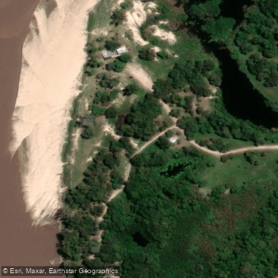
Learn how to get on Río Gualeguay. Uncover great paddling access points, boat ramps, and all the facilities you need for an unforgettable day on the water. Some locations shown may border or include private property. Always check property boundaries and applicable regulations before visiting. PaddleWays's Public & Private Land layer can help you plan your access with confidence.
Paddle smarter with real-time insights
Whether you're en route and conditions shift or you're looking for the best spot based on current flows, we enable you to make informed decisions on the fly.







Entre Ríos licenses and regulations

Find Places to Paddle

Over 400,000 Places to Paddle
Every user gets free access to launch points, boat ramps, and public property parcels.


Water and weather conditions (10 day forecast)
See the best times to paddle Río Gualeguay and check the forecast before you go.
Gualeguay - Rosario del Tala
All Flow Stations
Paddling near Río Gualeguay
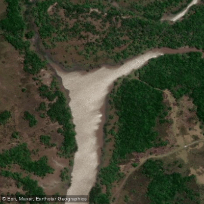
Río Gualeguaychú
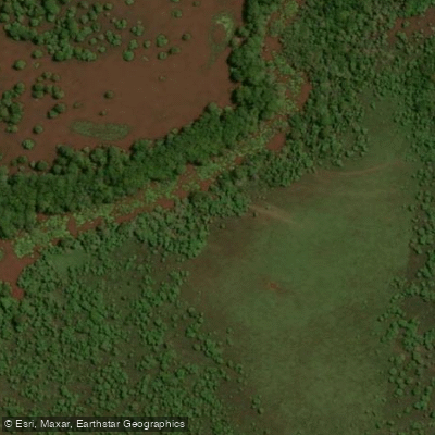
Arroyo Raíces
Río Uruguay
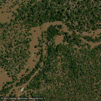
Arroyo Durazno
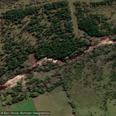
Arroyo Perucho Verna
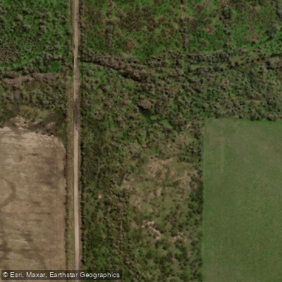
Arroyo de las Tunas
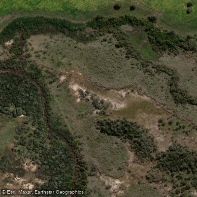
Arroyo Don Gonzalo
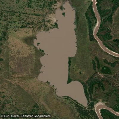
Laguna Yacaré
Explore Entre Ríos waters
Top paddling waters
No waters available right now.
Popular Cities
Loading popular cities...
Explore near Río Gualeguay
Access points
Nearby waters
More in Entre Ríos

Smarter Paddling Starts in the App.
Paddleways gives you everything you need to plan smarter, paddle better, and own every trip from first launch to takeout.