Río San Francisco
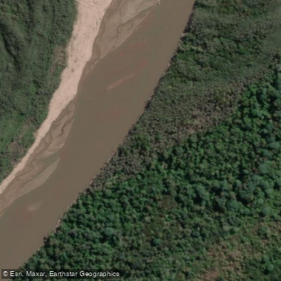
Río San Francisco
- Boat Ramps
- 0
- Access Points
- 0
- Campsites
- 1
The Río San Francisco is the principal river of Jujuy province and the most voluminous tributary of the río Bermejo. It forms near San Pedro de Jujuy at the confluence of the ríos Lavayén and Grande de Jujuy, then runs approximately 155 km in a northeast direction before crossing into Salta province and emptying into the río Bermejo near the town of Pichanal. The river drains a basin of roughly 25,700 km², passing through the broad, fertile valley known as El Ramal.
Flow volumes vary considerably across the year. The mean annual discharge, measured at Caimancito, is approximately 103.5 m³/s, with recorded highs reaching 285 m³/s and lows dropping to around 37 m³/s. This range reflects significant seasonal variation, likely driven by the region's tropical rainfall patterns, and paddlers should account for substantially different water levels and current speeds depending on when they travel.
The river runs through a tropical forest environment for much of its course, a setting that distinguishes it from the high-altitude landscapes of the Quebrada de Humahuaca to the north. Major tributaries joining along the way include the ríos Santa Rita, Negro, and Calilegua. The valley character is wide and relatively low-lying compared to the Andean terrain upstream.
The river holds considerable cultural weight in the region. The San Francisco culture, a pre-Columbian people who inhabited the riverbanks roughly 2,000 years ago, is considered foundational to the human history of Jujuy province. Conservation efforts are currently underway to designate the river as Argentina's first protected fluvial landscape, a joint initiative of the Jujuy provincial government and Fundación ProYungas, which reflects the river's recognized ecological and scenic value.
Water access, boat ramps & amenities
Learn how to get on Río San Francisco. Uncover great paddling access points, boat ramps, and all the facilities you need for an unforgettable day on the water. Some locations shown may border or include private property. Always check property boundaries and applicable regulations before visiting. PaddleWays's Public & Private Land layer can help you plan your access with confidence.
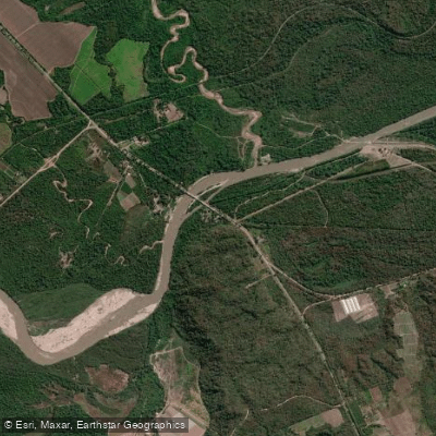
Paddle smarter with real-time insights
Whether you're en route and conditions shift or you're looking for the best spot based on current flows, we enable you to make informed decisions on the fly.







Jujuy licenses and regulations

Find Places to Paddle

Over 400,000 Places to Paddle
Every user gets free access to launch points, boat ramps, and public property parcels.


Water and weather conditions (10 day forecast)
See the best times to paddle Río San Francisco and check the forecast before you go.
San Francisco - Puente RP 1
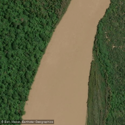
Explore Jujuy waters
Top paddling waters
No waters available right now.
Popular Cities
Loading popular cities...
Explore near Río San Francisco

Smarter Paddling Starts in the App.
Paddleways gives you everything you need to plan smarter, paddle better, and own every trip from first launch to takeout.