Río Bermejo
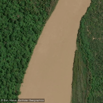
Río Bermejo
- Boat Ramps
- 0
- Access Points
- 0
- Campsites
- 2
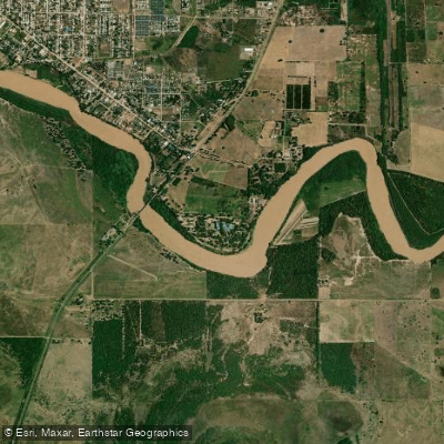
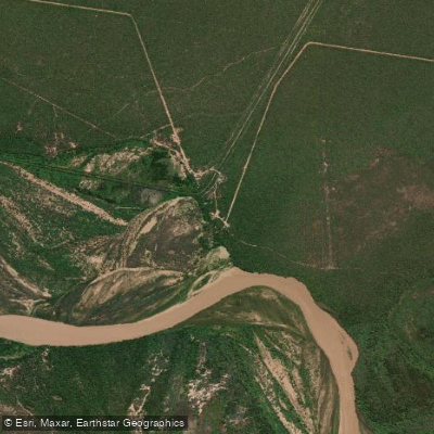
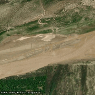
The Río Bermejo is a free-flowing river in northern Argentina that traverses the Gran Chaco region, notable for being undammed along its entire length. In the plains of Chaco, the river splits into two branches near the Tropic of Capricorn: the northern branch, known as the Río Teuco or Bermejo Nuevo, which serves as the main stem, and the southern branch, the intermittent and meandering Río Bermejito, which follows the river's former channel. The two branches rejoin near Villa Río Bermejito. The river carries heavy loads of red-colored sediment, which gives it its name, and these sediments produce irregular accumulations that can alter the river's course over time, leaving older channels as wet depressions.
The Bermejo is generally considered non-navigable for commercial purposes due to shallow waters and the enormous sediment load it carries. Paddling excursions do take place, however, particularly in the stretch running through and toward Parque Nacional El Impenetrable. Puerto San Jorge at Camping La Fidelidad serves as an access point where guided boat trips on the river are offered. These outings are personalized and require advance reservation. Glamping El Bermejito, located along the Río Bermejito, offers kayak excursions on that secondary branch.
Summer rainfall in the mountains of Jujuy, Salta, and southern Bolivia feeds the river and generates significant flooding that spreads across the Chaco plains, creating lagoons and wetlands. These seasonal floods are a defining characteristic of the river's hydrology and shape the surrounding ecosystem considerably. During the dry season, water levels drop and the river's course becomes more constrained.
Wildlife along the river is abundant. Timbós, algarrobos, palos santos, and alisales line the banks, and fauna regularly observed includes giant anteaters, peccaries, tapirs, yacarés, capybaras, herons, ducks, and skimmers. Tracks of jaguar and puma have been reported on sandbars. The river functions as a natural wildlife corridor connecting the Yungas cloud forests with the Gran Chaco, making it ecologically significant for species movement and conservation. The Río Bermejito also passes near the ruins of former colonial settlements, including Concepción del Bermejo, San Bernardo de Vértiz, and La Cangayé.
Water access, boat ramps & amenities
Learn how to get on Río Bermejo. Uncover great paddling access points, boat ramps, and all the facilities you need for an unforgettable day on the water. Some locations shown may border or include private property. Always check property boundaries and applicable regulations before visiting. PaddleWays's Public & Private Land layer can help you plan your access with confidence.
Paddle smarter with real-time insights
Whether you're en route and conditions shift or you're looking for the best spot based on current flows, we enable you to make informed decisions on the fly.







Chaco licenses and regulations

Find Places to Paddle

Over 400,000 Places to Paddle
Every user gets free access to launch points, boat ramps, and public property parcels.


Water and weather conditions (10 day forecast)
See the best times to paddle Río Bermejo and check the forecast before you go.
Bermejo - El Colorado
All Flow Stations
Paddling near Río Bermejo
Explore Chaco waters
Top paddling waters
No waters available right now.
Popular Cities
Loading popular cities...
Explore near Río Bermejo
Access points
Nearby waters
More in Chaco

Smarter Paddling Starts in the App.
Paddleways gives you everything you need to plan smarter, paddle better, and own every trip from first launch to takeout.