Laguna Guatraché
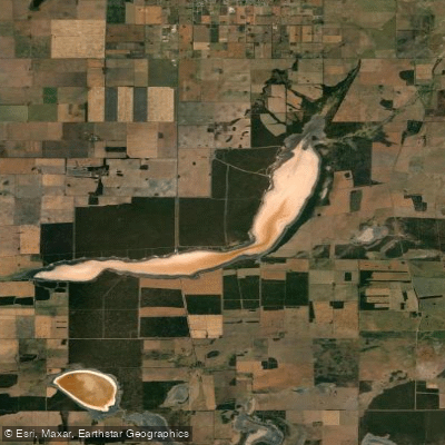
Laguna Guatraché
- Boat Ramps
- 0
- Access Points
- 0
- Campsites
- 0
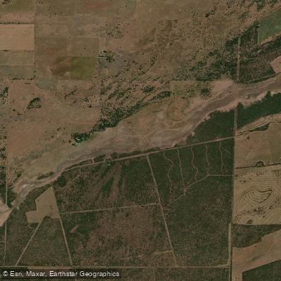
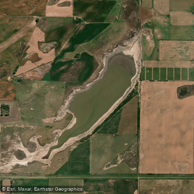
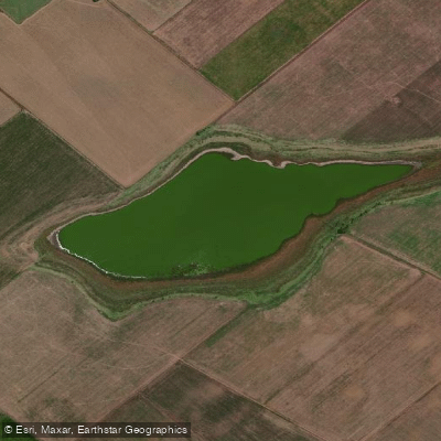
Laguna Guatraché is a saline lake and provincial nature reserve located in the southeastern part of La Pampa, Argentina, within the Departamento Hucal near its border with Departamento Guatraché. The reserve covers approximately 6,400 hectares, centered around coordinates 37°45′15″S 63°32′45″O. The lake sits about 10 kilometers from the town of Guatraché, 147 kilometers from General Acha, and 190 kilometers from the provincial capital, Santa Rosa.
One of the lake's most distinctive characteristics is the pink coloration of its water, which results from its chemical composition. The water is highly mineralized, reportedly containing around 30 minerals, and the lake is promoted locally for hydrotherapy. The surrounding terrain is gently undulating, with low rises and depressions that are frequently submerged. The landscape is defined by caldén and algarrobo forests — native tree species characteristic of the Pampean phytogeographic district — interspersed with shrubs and grasses.
Access to the lake is fully paved via Ruta Provincial 1, which reaches the northern end of the laguna. Vehicles must be parked outside the designated recreational area. Basic infrastructure is available on site, including a campground, lodging with spa and thermal facilities, barbecue areas, and a restaurant that operates on weekends. Two walking trails run along the lakeshore.
The reserve supports a notable variety of waterbirds, making it of interest to wildlife observers. Species documented on the lake include the Chilean flamingo (Phoenicopterus chilensis), the silvery grebe (Podiceps occipitalis), various duck species, coots, and gulls. The reserve was formally established in 1991 under Provincial Law No. 1353 and is administered at the provincial level.
Paddlers interested in recreational paddling should contact local or provincial authorities to confirm whether such activities are permitted within the protected area, as well as to inquire about specific access points, launch sites, and water conditions before planning a trip.
Water access, boat ramps & amenities
Learn how to get on Laguna Guatraché. Uncover great paddling access points, boat ramps, and all the facilities you need for an unforgettable day on the water. Some locations shown may border or include private property. Always check property boundaries and applicable regulations before visiting. PaddleWays's Public & Private Land layer can help you plan your access with confidence.
Paddle smarter with real-time insights
Whether you're en route and conditions shift or you're looking for the best spot based on current flows, we enable you to make informed decisions on the fly.







La Pampa licenses and regulations

Find Places to Paddle

Over 400,000 Places to Paddle
Every user gets free access to launch points, boat ramps, and public property parcels.


Water and weather conditions (10 day forecast)
See the best times to paddle Laguna Guatraché and check the forecast before you go.
No forecast data available.
Explore La Pampa waters
Top paddling waters
No waters available right now.
Popular Cities
Loading popular cities...
Explore near Laguna Guatraché

Smarter Paddling Starts in the App.
Paddleways gives you everything you need to plan smarter, paddle better, and own every trip from first launch to takeout.