Lagunas Encadenadas del Oeste
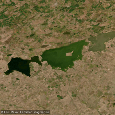
Lagunas Encadenadas del Oeste
- Boat Ramps
- 0
- Access Points
- 0
- Campsites
- 6
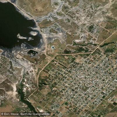
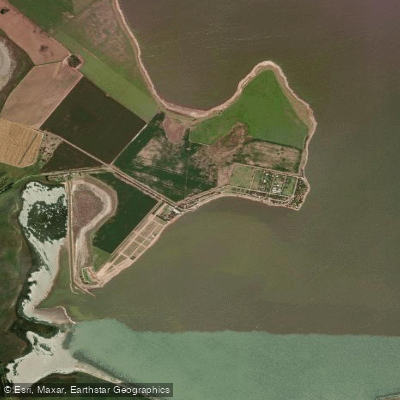
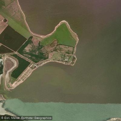
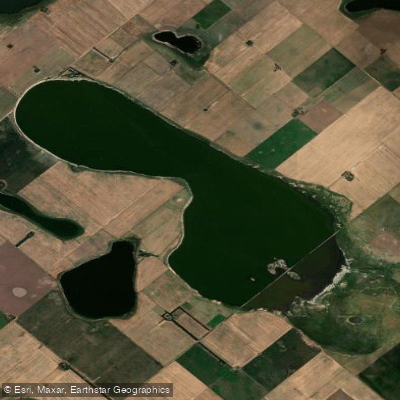
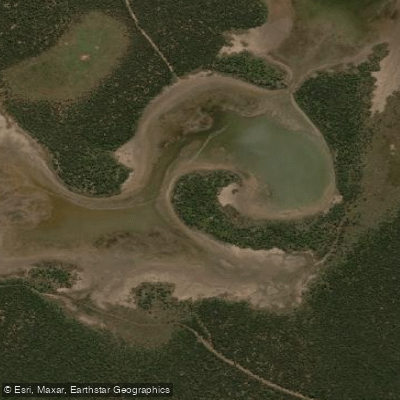
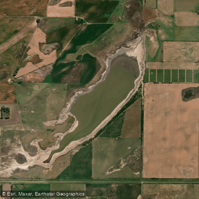
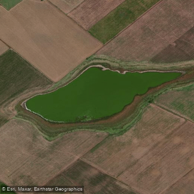
The Lagunas Encadenadas del Oeste is an endorheic (closed-basin) lake system in the southwestern interior of Buenos Aires province, near the border with La Pampa province. The system comprises a chain of interconnected lagoons — including Laguna Alsina, Cochicó, Del Monte, Del Venado, Epecuén, Del Inca, and La Paraguay, along with smaller water bodies — aligned across a flat Pampean landscape at elevations between roughly 92 and 103 meters above sea level. The entire system covers an area of approximately 1,281 square kilometers, with the designated key biodiversity area spanning around 12,000 hectares. Because the basin is endorheic, water levels can rise significantly during wet cycles, as dramatically demonstrated by the flooding of Villa Epecuén in 1985, when extraordinary rainfall caused water levels to overwhelm defenses and submerge the town entirely. The ruins of that former tourist settlement remain visible from the shores of Lago Epecuén.
The lagoons vary considerably in character. Lago Epecuén is hypersaline, with salinity recorded at approximately 56.75 g/l and a strongly alkaline pH, making it chemically distinct from the other lagoons in the system. The surrounding plains feature bare soils, salt-tolerant vegetation communities, and scattered dune areas, with native grasslands in varying states of conservation.
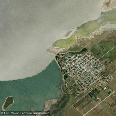
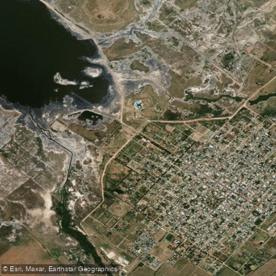
The town of Guaminí, situated at the intersection of provincial routes 65, 85, and 33, serves as the main hub for the area and offers hotels, cabins, guesthouses, restaurants, and bars. The village of Cochicó, approximately 15 kilometers from Guaminí, provides additional accommodation options including private and municipal campgrounds. Fishing — both from shore and from boats — is a primary activity on the lagoons, and nautical sports are also practiced on the system. The area is recognized as a Key Biodiversity Area under global criteria, reflecting the importance of the lagoons for waterbird populations, which adds a wildlife-watching dimension to any time spent on the water.
Water access, boat ramps & amenities
Learn how to get on Lagunas Encadenadas del Oeste. Uncover great paddling access points, boat ramps, and all the facilities you need for an unforgettable day on the water. Some locations shown may border or include private property. Always check property boundaries and applicable regulations before visiting. PaddleWays's Public & Private Land layer can help you plan your access with confidence.
Paddle smarter with real-time insights
Whether you're en route and conditions shift or you're looking for the best spot based on current flows, we enable you to make informed decisions on the fly.







Buenos Aires licenses and regulations

Find Places to Paddle

Over 400,000 Places to Paddle
Every user gets free access to launch points, boat ramps, and public property parcels.


Water and weather conditions (10 day forecast)
See the best times to paddle Lagunas Encadenadas del Oeste and check the forecast before you go.
No forecast data available.
Explore Buenos Aires waters
Top paddling waters
No waters available right now.
Popular Cities
Loading popular cities...
Explore near Lagunas Encadenadas del Oeste

Smarter Paddling Starts in the App.
Paddleways gives you everything you need to plan smarter, paddle better, and own every trip from first launch to takeout.