Paddling in Baritú National Park
- National Park
- Lakes
- 0
- Rivers
- 5
- Access
- 0
- Boat Ramps
- 0
- Shops
- 0
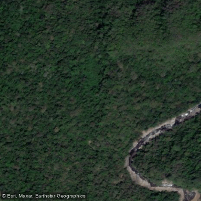
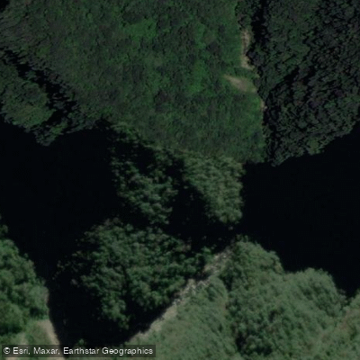
Baritú National Park sits in the extreme northwest of Salta province, pressed against the Bolivian border and wrapped entirely in Yungas cloud forest — Argentina's only national park that lies wholly within that ecosystem.
The terrain is steep and dense, shaped by fast-flowing rivers and streams that cut through deep valleys between Cerro de las Pavas and Cerro Negro. This is moving water country, fed by heavy summer rains that can push annual precipitation to 1,300 mm.
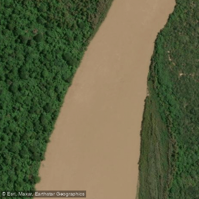
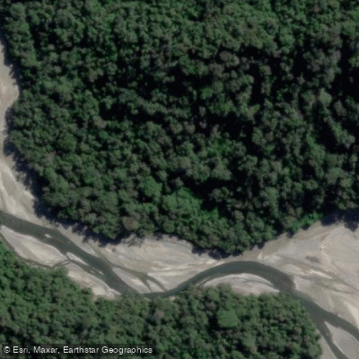
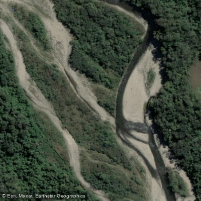
The rivers that define the park's interior are the Río Baritú, the Río Lipeo, and the Río de las Pavas.
All three are described as abundant, powerful, and fast-moving — the Spanish word used in park sources is *correntosos*, which says something about what you'd be reading on the water.
The Río Lipeo and its tributaries drain a significant portion of the park and are the waters most referenced in trail and access descriptions. The Río Bermejo, one of the larger drainages of the region, is also associated with the park's watershed.
The fish community in these rivers includes dorados, sábalos, bogas, bagres, and viejas del agua — a mix that signals warm, turbid, productive subtropical water rather than cold Andean freestone streams. Access is the defining constraint here.
Baritú is one of the least-visited parks in Argentina precisely because the practical road access runs through Bolivia.
Entry to special-use zones requires authorization from the Administración de Parques Nacionales; contact the park directly before planning any river trip, as permit requirements and zone restrictions apply.
The rivers here aren't a casual day-paddle destination. They're fast, remote, and set inside a roadless subtropical forest where the logistics of getting in — and getting out — demand the same respect as the water itself.
Top waters to paddle near Baritu National Park
Water and weather conditions (10 day forecast)
See the best times to paddle Baritú National Park and check the forecast before you go.
No forecast data available.
Paddle smarter with real-time insights
Whether you're en route and conditions shift or you're looking for the best spot based on current flows, we enable you to make informed decisions on the fly.







Paddling near Baritú National Park
Loading...
Gateway towns
Where to base yourself for paddling in Baritú National Park.
- Los ToldosSalta
The nearest town to the park's entrance and the main base for visitors, reached via the route through Bolivia.
- Aguas BlancasSalta
The Argentine border crossing point on the only practical land route into the park from the south.
Explore Baritú National Park
Top paddling waters
Popular Cities
Loading popular cities...

Smarter Paddling Starts in the App.
Paddleways gives you everything you need to plan smarter, paddle better, and own every trip from first launch to takeout.