Río de los Patos
Río de los Patos
- Boat Ramps
- 0
- Access Points
- 0
- Campsites
- 0
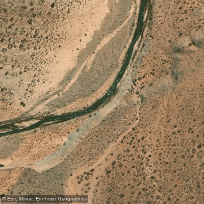
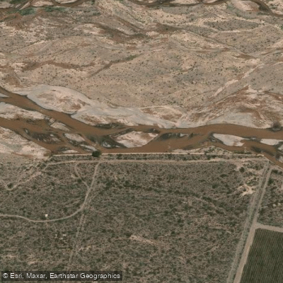
The Río de los Patos is a permanent watercourse flowing south to north through the central-eastern portion of the Calingasta department, in the southwestern corner of San Juan province, Argentina. The river runs approximately 190 kilometers in length, originates at an elevation of around 4,000 meters above sea level, and drains a basin of roughly 39,906 square kilometers before emptying into the Río San Juan. Its mean discharge is 49 cubic meters per second, though flow levels can vary considerably — at times the river carries relatively little water and runs a muddy, clay-laden color due to the sediment it transports.
The river is recognized as suitable for rafting and kayaking, with the dramatic backdrop of the Andes providing a striking visual context throughout any run. The surrounding landscape is characterized by high-altitude mountain terrain, and the snow-capped cordillera is visible from the river corridor, particularly near the town of Barreal.
The Calingasta department, through which the river passes, is a remote and sparsely populated area of the Cuyo region. The town of Barreal lies along the river and offers at least some accommodation options for visitors, including the Posada Paso De Los Patos, which sits directly on the riverbank. The river and its surroundings are listed among the top attractions in San Juan province, reflecting its appeal as a natural destination.
Water levels and color are subject to seasonal variation tied to Andean snowmelt, which is typical of rivers originating at high elevations in this part of Argentina. Paddlers should be aware that the river can carry significant suspended sediment. Prospective paddlers are advised to consult local operators or the San Juan Secretaría de Turismo before planning a trip to confirm current access points, take-out locations, paddling seasons, and any restrictions.
Water access, boat ramps & amenities
Learn how to get on Río de los Patos. Uncover great paddling access points, boat ramps, and all the facilities you need for an unforgettable day on the water. Some locations shown may border or include private property. Always check property boundaries and applicable regulations before visiting. PaddleWays's Public & Private Land layer can help you plan your access with confidence.
Paddle smarter with real-time insights
Whether you're en route and conditions shift or you're looking for the best spot based on current flows, we enable you to make informed decisions on the fly.







San Juan licenses and regulations

Find Places to Paddle

Over 400,000 Places to Paddle
Every user gets free access to launch points, boat ramps, and public property parcels.


Water and weather conditions (10 day forecast)
See the best times to paddle Río de los Patos and check the forecast before you go.
De los Patos - La Plateada
All Flow Stations
Explore San Juan waters
Top paddling waters
No waters available right now.
Popular Cities
Loading popular cities...
Explore near Río de los Patos
More in San Juan

Smarter Paddling Starts in the App.
Paddleways gives you everything you need to plan smarter, paddle better, and own every trip from first launch to takeout.