Río Mendoza
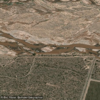
Río Mendoza
- Boat Ramps
- 0
- Access Points
- 0
- Campsites
- 8
The Río Mendoza originates at Punta de Vacas, where the Tupungato and Cuevas rivers converge. Immediately downstream, the Río Vacas joins on the left bank, and the river subsequently receives contributions from the Colorado and Blanco rivers as well as the Picheuta and Uspallata streams. It flows through the Andean foothills and passes through the Luján de Cuyo area before reaching the Potrerillos reservoir, making it one of the more significant waterways in the region.
The river is fed entirely by snowmelt and glacial runoff, which means flow levels vary considerably by season. During the colder months, the water runs clear and low. From spring through summer — roughly October to March — snowmelt drives higher water volumes, producing brown, sediment-laden water with large, powerful waves. Rapid difficulty during this high-water season ranges from Class II to Class IV depending on current levels. During the rest of the year, the river settles into a consistent Class III character. No prior rafting experience is required for most commercial trips.
A commonly run stretch begins near the Uspallata bridge on International Route 7 and continues approximately 12 kilometers downstream, finishing at Embalse Potrerillos. This section takes roughly two hours on the water and passes the abandoned Guido train station, which serves as a rest stop on longer excursions. Notable rapids along this corridor include the Labyrinth, Picoli, Councilor, Bad Stone, Chinese Wall, and the 31. The surrounding landscape features views of the Cocodrilo, Mirador, and Calavera hills. The 12-kilometer run contains 10 Class III rapids and 5 Class II rapids.
Commercial operators including Potrerillos Explorer and Andes Vertical run guided trips year-round, with pickup available from Mendoza city, Chacras de Coria, and Luján de Cuyo. Full-day packages from some operators include meals. The Embalse Potrerillos at the downstream end of the common run also offers flatwater kayaking, including a paddle through a submerged forest, providing an option for paddlers seeking calmer water.
Age restrictions on commercial trips are adjusted based on water levels, particularly during the high-water season when conditions intensify.
Water access, boat ramps & amenities
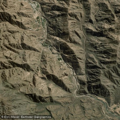
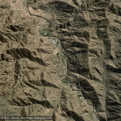
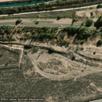
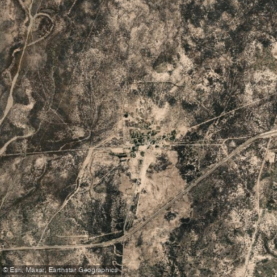
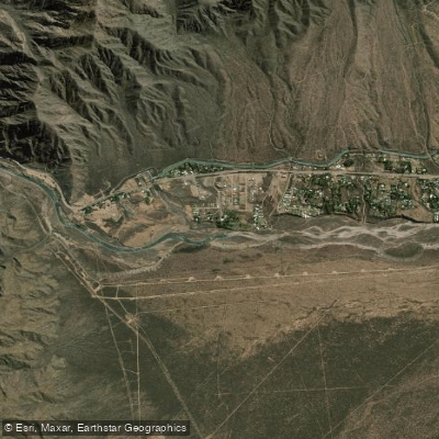
Learn how to get on Río Mendoza. Uncover great paddling access points, boat ramps, and all the facilities you need for an unforgettable day on the water. Some locations shown may border or include private property. Always check property boundaries and applicable regulations before visiting. PaddleWays's Public & Private Land layer can help you plan your access with confidence.
Paddle smarter with real-time insights
Whether you're en route and conditions shift or you're looking for the best spot based on current flows, we enable you to make informed decisions on the fly.







Mendoza licenses and regulations

Find Places to Paddle

Over 400,000 Places to Paddle
Every user gets free access to launch points, boat ramps, and public property parcels.


Water and weather conditions (10 day forecast)
See the best times to paddle Río Mendoza and check the forecast before you go.
Mendoza - Guido
Explore Mendoza waters
Top paddling waters
No waters available right now.
Popular Cities
Loading popular cities...
Explore near Río Mendoza
Access points
Nearby waters
More in Mendoza

Smarter Paddling Starts in the App.
Paddleways gives you everything you need to plan smarter, paddle better, and own every trip from first launch to takeout.