Lago Belgrano
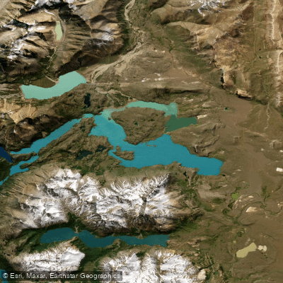
Lago Belgrano
- Boat Ramps
- 0
- Access Points
- 0
- Campsites
- 1
Lago Belgrano is a glacial lake covering approximately 42 km² within Perito Moreno National Park in the Río Chico Department of Santa Cruz Province, Patagonia, Argentina. It sits at coordinates 47°51'S, 72°09'W, enclosed by Andean cordilleras to the west and basaltic plateaus to the east. The lake is the principal body of water in the northern sector of the Río Mayer basin and drains westward into the Pacific Ocean — an unusual characteristic, as most lakes in Argentine Patagonia drain into the Atlantic.
The lake's most distinctive visual feature is its bright turquoise color, produced by glacially suspended particles carried by its inflow rivers, most notably the Río Lácteo, which originates from glaciers. This milky, glacial-blue appearance is a defining characteristic of the paddling environment.
The recommended season for visiting is October through March, corresponding to the Southern Hemisphere spring and summer. Patagonian weather in this region is notoriously variable and wind-prone, which is a significant consideration for paddlers on open water.
The park is accessible only by private vehicle. From Gobernador Gregores, the nearest significant town, the drive covers approximately 220 kilometers (3 to 4 hours) via Ruta Nacional 40 and the gravel Ruta Provincial 37. Visitors must register at the Onelli Visitor Center upon entering the park. The closest major airport is El Calafate International Airport, roughly 500 kilometers away.
The Península Belgrano trail system offers two loop routes — the Circuito Chico (9.6 km, moderate, 3–4 hours) and the Circuito Grande (16.8 km, high difficulty, 5–9 hours) — that traverse the peninsula's gently undulating terrain and provide views of the lake and surrounding peaks. Huts and tent sites are spaced along these trails. Cerro León, rising to approximately 1,500 meters, offers panoramic views of the lake from elevation. The park supports 120 bird species, including flamingos, geese, ducks, and condors; the Lagunas del Mié bird observatory is located about 8 kilometers from the Centro Operativo Onelli on the route toward the Mirador del Lago Belgrano.
Paddlers should confirm current access rules and launch procedures with park administration before launching, as regulations may apply.
Water access, boat ramps & amenities
Learn how to get on Lago Belgrano. Uncover great paddling access points, boat ramps, and all the facilities you need for an unforgettable day on the water. Some locations shown may border or include private property. Always check property boundaries and applicable regulations before visiting. PaddleWays's Public & Private Land layer can help you plan your access with confidence.
Paddle smarter with real-time insights
Whether you're en route and conditions shift or you're looking for the best spot based on current flows, we enable you to make informed decisions on the fly.







Santa Cruz licenses and regulations

Find Places to Paddle

Over 400,000 Places to Paddle
Every user gets free access to launch points, boat ramps, and public property parcels.


Water and weather conditions (10 day forecast)
See the best times to paddle Lago Belgrano and check the forecast before you go.
No forecast data available.
Paddling near Lago Belgrano
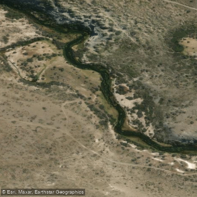
Río Fénix Chico
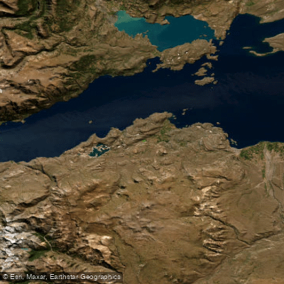
Lago General Carrera / Lago Buenos Aires
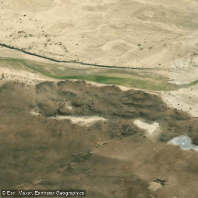
Río Deseado
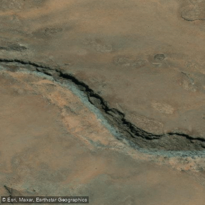
Arroyo Las Chilcas
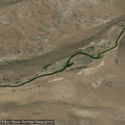
Arroyo Telken
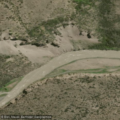
Río Jeinemení
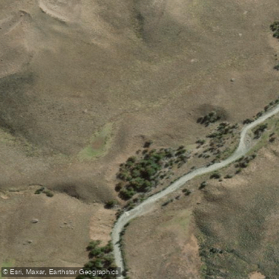
Río El Zeballos
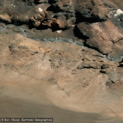
Río Correntoso
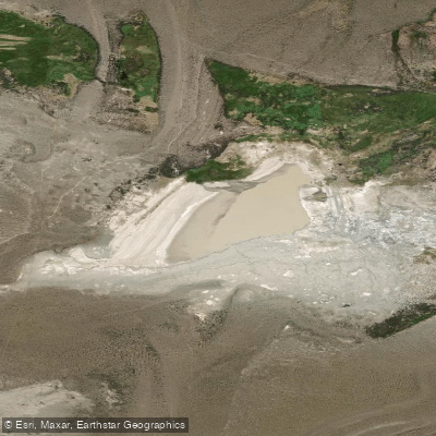
Laguna Verde
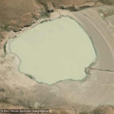
Laguna Verde
Explore Santa Cruz waters
Top paddling waters
No waters available right now.
Popular Cities
Loading popular cities...
Explore near Lago Belgrano

Smarter Paddling Starts in the App.
Paddleways gives you everything you need to plan smarter, paddle better, and own every trip from first launch to takeout.