Paddling in Santa Cruz
- Lakes
- 314
- Rivers
- 189
- Access
- 0
- Boat Ramps
- 0
- Shops
- 0
Santa Cruz province occupies the southern third of Argentine Patagonia — a vast, wind-scoured plateau that drops through Andean cordillera in the west and flattens into Atlantic steppe in the east.
The paddling here is defined less by whitewater than by big glacial lakes and long, cold rivers moving through some of the most remote terrain on the continent. Infrastructure is thin, distances are enormous, and the wind is always part of the equation.
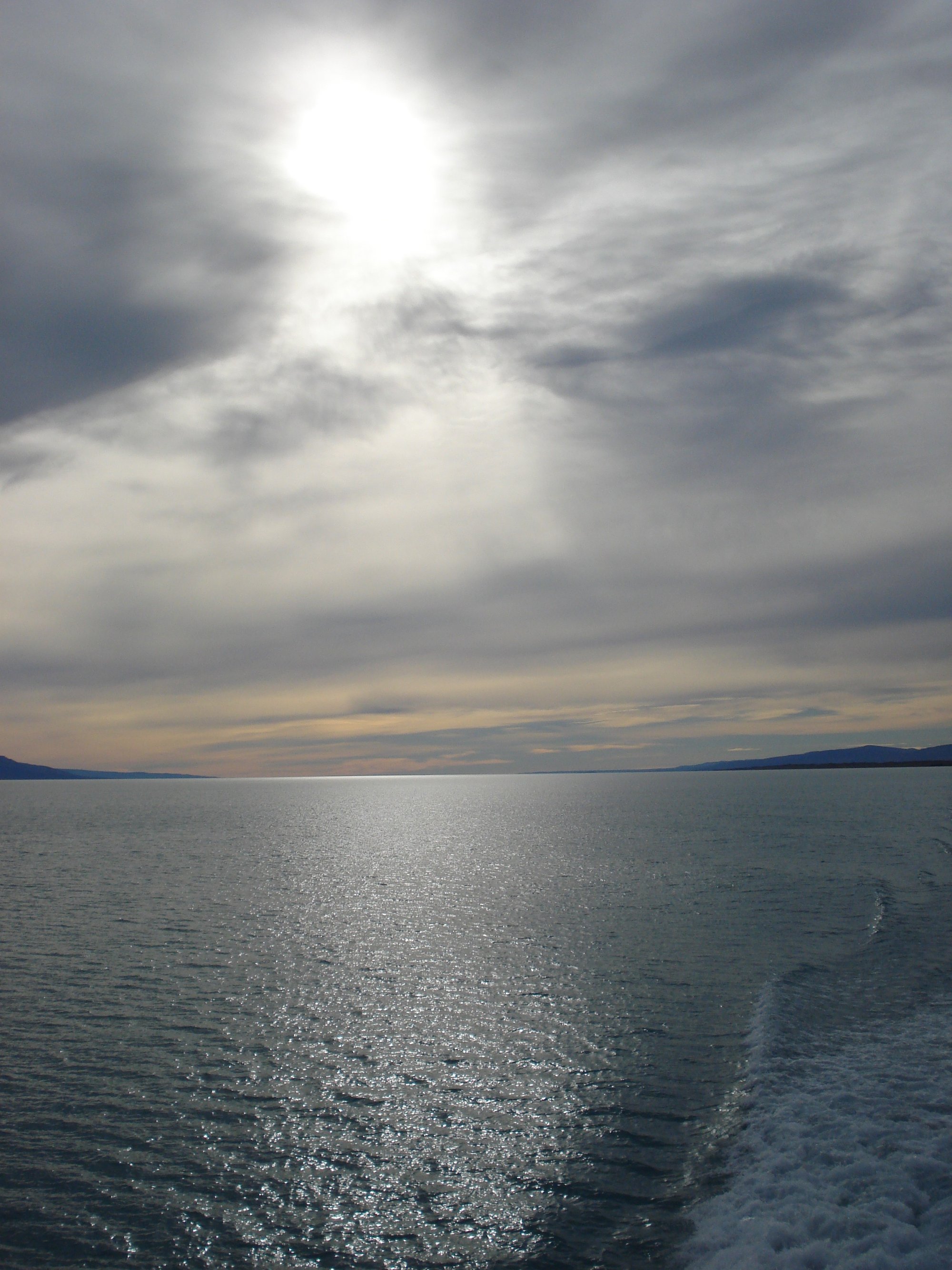
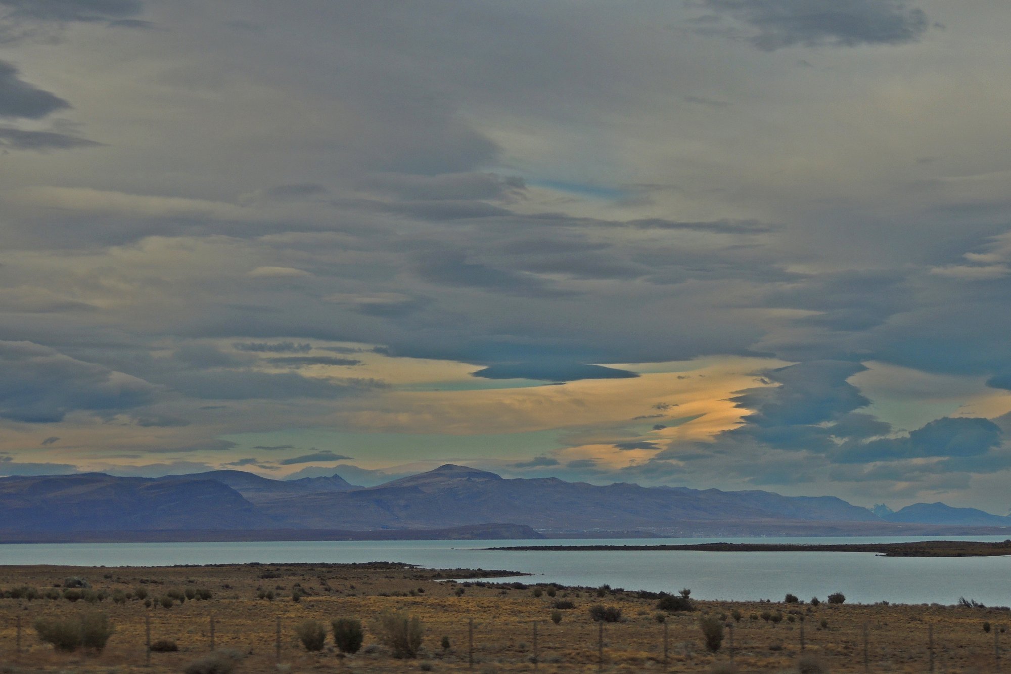
The centerpiece is Lago Argentino, the largest lake in Argentina, where guided kayak trips operate out of El Calafate. The scale is serious — cold water, calving glaciers nearby, and Patagonian gusts that can pin you to shore for hours.
Day trips are the norm here, and for good reason.
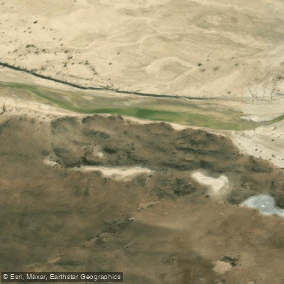
To the north, Lago Viedma and Laguna del Desierto sit in the Fitz Roy corridor near El Chaltén, where the río de las Vueltas drains south through a valley that rewards paddlers willing to move with the current rather than fight it.
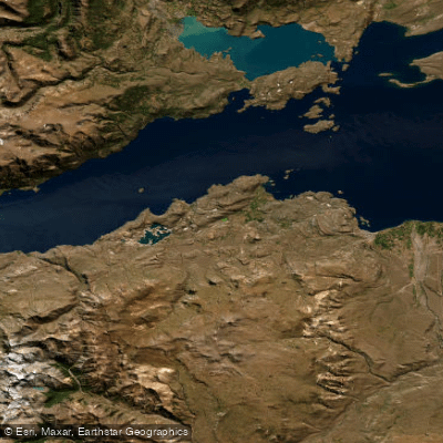
Conditions there are Class II, with enough flow to carry you along without much effort. Further north along the Andean border, Lago General Carrera — shared with Chile, where it's called Lago Buenos Aires — is one of the deepest lakes in the Americas.
Lago O'Higgins, also binational, sits at the end of a long road and feeds into Chilean territory; access from the Argentine side is an expedition in itself.
Lago Belgrano and Lago Burmeister lie within Parque Nacional Perito Moreno, a rarely visited reserve where self-supported travel is the only option.
The Río Santa Cruz runs east from Lago Argentino toward the Atlantic, a long flatwater corridor through open steppe. It's the kind of river that demands multi-day commitment and solid navigation — no rapids to speak of, but no services either.
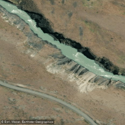
The Río Deseado, further north, cuts through a canyon system of its own. Summer here runs November through March, and that window matters. Outside it, lake crossings become genuinely dangerous and many access roads close.
The wind peaks in spring and early summer; experienced paddlers often plan around early mornings when conditions are calmer.
Several of these waters fall within national park boundaries — check with Administración de Parques Nacionales before launching, as entry and camping rules vary by reserve. Santa Cruz rewards paddlers who come prepared to be self-sufficient and patient.
The water is cold, the distances are real, and the landscape doesn't soften for anyone. That's exactly the point.
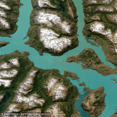
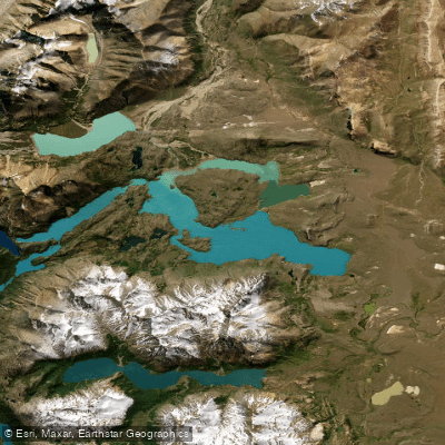
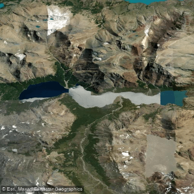
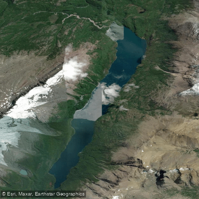
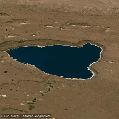
Top waters to paddle near Santa Cruz
Paddle smarter with real-time insights
Whether you're en route and conditions shift or you're looking for the best spot based on current flows, we enable you to make informed decisions on the fly.







Santa Cruz licenses and regulations
Explore Santa Cruz waters
Top paddling waters
Popular Cities
Loading popular cities...

Smarter Paddling Starts in the App.
Paddleways gives you everything you need to plan smarter, paddle better, and own every trip from first launch to takeout.