Lago Burmeister
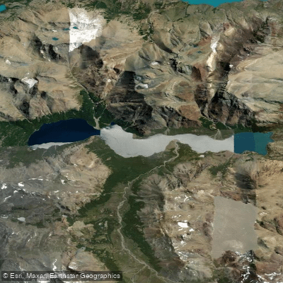
Lago Burmeister
- Boat Ramps
- 0
- Access Points
- 0
- Campsites
- 1
Lago Burmeister is located in the southern section of Parque Nacional Perito Moreno, in the Province of Santa Cruz, Patagonia, Argentina. The lake sits in a valley formed between Cerro Mié and Cerro Guanaco, and is the most accessible lake within the park, reachable by vehicle approximately 16 km from the Onelli Information Center via a roughly 90 km ripio (gravel) road that branches off from the main highway at Los Horquetas. The road is in poor condition, so travelers should plan accordingly.
The lake and its surrounding campground are the primary hub of activity in this part of the park. The camping area offers 5 designated campsites and 2 RV spots, and is well sheltered, tucked into a small forest. This makes it a practical base for paddlers spending multiple days in the area.
Wind is a significant factor at Lago Burmeister. Visitors have reported extremely strong winds along the lake, strong enough to make tripod photography impossible, and the conditions are capable of producing lenticular cloud formations. Paddlers should treat wind as a serious hazard and plan accordingly, particularly when on open water.
On the north bank of the lake, there is a short 600-meter trail rated as high difficulty that leads to an overlook, offering views of the lake and surrounding terrain. The park also features bird watching opportunities, with wildlife including species such as Buff-necked Ibis observed in the area. Horse rides are also available within the park.
The overall character of the area is remote and wild, with wide open Patagonian landscapes and relatively few visitors compared to more popular parks in the region. The park falls under national park regulations, and paddlers should check with park administration at the Onelli Information Center regarding any specific rules governing water use on the lake. Regulations may apply due to the park's protected status.
Water access, boat ramps & amenities
Learn how to get on Lago Burmeister. Uncover great paddling access points, boat ramps, and all the facilities you need for an unforgettable day on the water. Some locations shown may border or include private property. Always check property boundaries and applicable regulations before visiting. PaddleWays's Public & Private Land layer can help you plan your access with confidence.
Paddle smarter with real-time insights
Whether you're en route and conditions shift or you're looking for the best spot based on current flows, we enable you to make informed decisions on the fly.







Santa Cruz licenses and regulations

Find Places to Paddle

Over 400,000 Places to Paddle
Every user gets free access to launch points, boat ramps, and public property parcels.


Water and weather conditions (10 day forecast)
See the best times to paddle Lago Burmeister and check the forecast before you go.
No forecast data available.
Paddling near Lago Burmeister
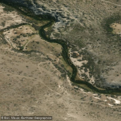
Río Fénix Chico
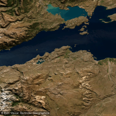
Lago General Carrera / Lago Buenos Aires
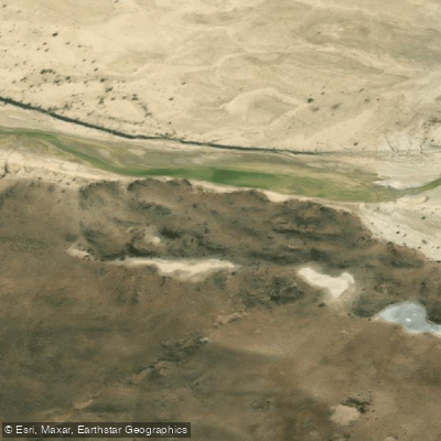
Río Deseado
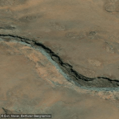
Arroyo Las Chilcas
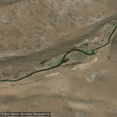
Arroyo Telken
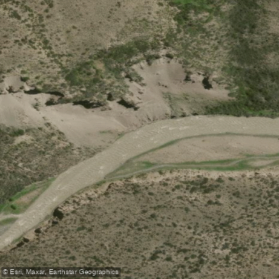
Río Jeinemení
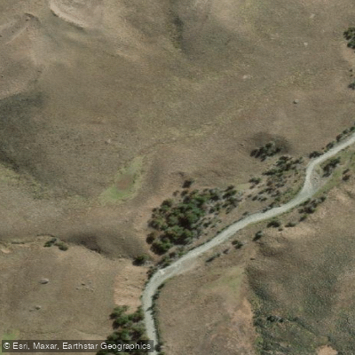
Río El Zeballos
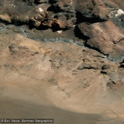
Río Correntoso
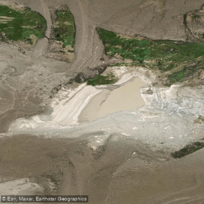
Laguna Verde
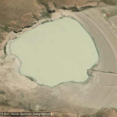
Laguna Verde
Explore Santa Cruz waters
Top paddling waters
No waters available right now.
Popular Cities
Loading popular cities...
Explore near Lago Burmeister

Smarter Paddling Starts in the App.
Paddleways gives you everything you need to plan smarter, paddle better, and own every trip from first launch to takeout.