Río Santa Cruz
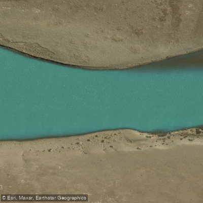
Río Santa Cruz
- Boat Ramps
- 1
- Access Points
- 0
- Campsites
- 4
The Río Santa Cruz is the last free-flowing glacial river in Argentine Patagonia, originating in the Southern Patagonian Ice Field and running approximately 360 kilometers before emptying into the Atlantic Ocean at Puerto Santa Cruz. Fed by Lago Argentino, it crosses the full width of the province of Santa Cruz through open Patagonian steppe. The river carries a distinctive turquoise color characteristic of glacial meltwater, and its volume makes it one of the most significant waterways in Argentina.
Throughout its entire length the river is rated Class I, meaning there are no rapids. The current provides consistent downstream momentum, and paddlers generally find that little active paddling is required to maintain progress. Wind is a significant factor on this river — the Patagonian steppe offers no shelter, and wave action can develop in exposed sections, particularly in the lower reaches where tidal influence from the sea also creates chop. Guides authorized by the Argentine Naval Prefecture accompany commercial expeditions.
The full river expedition runs roughly 350 kilometers by kayak over seven days, starting from the area near Lago Argentino (with put-ins at locations such as Estancia Bonn Accord) and finishing at Puerto Santa Cruz on the Atlantic coast. Shorter day trips are also available near El Calafate, with one popular guided outing covering approximately 15 kilometers on the upper section of the river. Accommodation on the multi-day expedition combines wild camping (four nights) with cabin or hotel stays (two nights).
The river has considerable historical significance. It was first noted by the pilot Serrano during Magellan's 1520 expedition, and was subsequently explored by the Viedma brothers, Carlos Moyano, Charles Darwin, and Francisco Pascasio Moreno, among others. The surrounding landscape is home to the indigenous Aonikenk people's cultural heritage. Wildlife and the open steppe scenery accompany paddlers throughout the journey. The river has also attracted fly fishers targeting steelhead and sea trout, which are present in the system. The lower river is notably wide and can appear imposing in scale.
The river has been the subject of conservation concern due to proposed hydroelectric development, and at the time of writing remains largely intact and undammed.
Water access, boat ramps & amenities
Learn how to get on Río Santa Cruz. Uncover great paddling access points, boat ramps, and all the facilities you need for an unforgettable day on the water. Some locations shown may border or include private property. Always check property boundaries and applicable regulations before visiting. PaddleWays's Public & Private Land layer can help you plan your access with confidence.
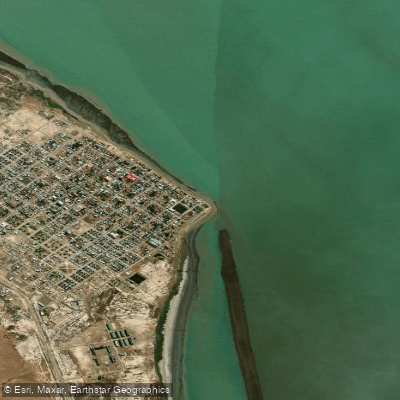
Paddle smarter with real-time insights
Whether you're en route and conditions shift or you're looking for the best spot based on current flows, we enable you to make informed decisions on the fly.







Santa Cruz licenses and regulations

Find Places to Paddle

Over 400,000 Places to Paddle
Every user gets free access to launch points, boat ramps, and public property parcels.


Water and weather conditions (10 day forecast)
See the best times to paddle Río Santa Cruz and check the forecast before you go.
Charles Fhur
All Flow Stations
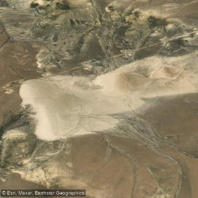
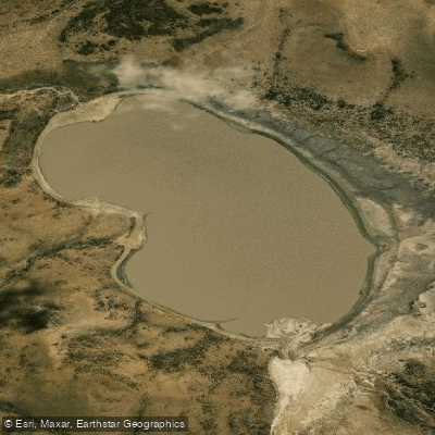
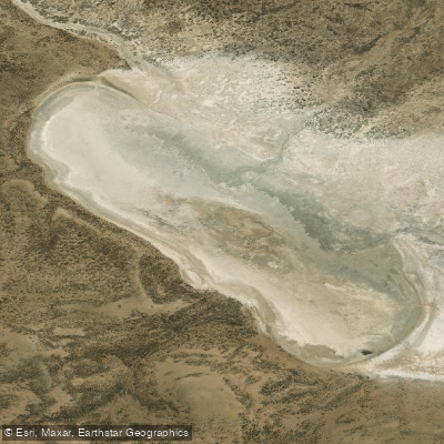
Explore Santa Cruz waters
Top paddling waters
No waters available right now.
Popular Cities
Loading popular cities...
Explore near Río Santa Cruz
More in Santa Cruz

Smarter Paddling Starts in the App.
Paddleways gives you everything you need to plan smarter, paddle better, and own every trip from first launch to takeout.