Río Turbio
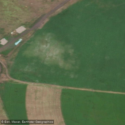
Río Turbio
- Boat Ramps
- 0
- Access Points
- 0
- Campsites
- 1
The Río Turbio flows through a remote valley in northern Patagonia, Argentina, draining into Lago Puelo in the Chubut province. The river originates deep within the Turbio IV valley, a largely unexplored area flanked by Yosemite-like granite walls that have drawn climbers since local mountaineers first began exploring the region in the 1980s. The river passes through Selva Valdiviana rainforest before reaching the lake, offering a corridor through some of the most intact backcountry terrain in the region.
For paddlers, the Río Turbio rates between Class I and II, with the difficulty varying depending on water levels. The current is generally smooth and manageable, making it accessible to those without prior whitewater experience, though the rafting section constitutes a full, long day on the water. Guided commercial expeditions typically use rafts with a safety kayaker running ahead to mark the line. The rafting descent covers roughly the same distance that takes three days to hike upstream — approximately 45 kilometers — and can be completed in around five hours of floating.
The standard approach to the river involves a boat crossing of Lago Puelo from the El Hoyo area, followed by a multi-day hike upstream with pack horse support. The put-in for the rafting descent is at La Horqueta, a river junction, and the take-out is back at the lake, where motorboats transport paddlers across to the trailhead side. The overall expedition distance is approximately 80 kilometers.
An alternative approach involves paddling on Lago Puelo itself to reach the mouth of the Río Turbio — a distance of roughly 21 to 25 kilometers by kayak from the Lago Puelo dock, depending on the route taken. This lake approach can be challenging when the lake is rough or windy.
The valley offers dramatic scenery throughout the descent, with granite walls, river crossings, and backcountry ranches along the banks. Fishing for trout is possible at certain points along the river. The area is accessed via San Carlos de Bariloche or El Hoyo, both of which serve as logistical bases for expeditions into the Turbio valley.
Water access, boat ramps & amenities
Learn how to get on Río Turbio. Uncover great paddling access points, boat ramps, and all the facilities you need for an unforgettable day on the water. Some locations shown may border or include private property. Always check property boundaries and applicable regulations before visiting. PaddleWays's Public & Private Land layer can help you plan your access with confidence.
Paddle smarter with real-time insights
Whether you're en route and conditions shift or you're looking for the best spot based on current flows, we enable you to make informed decisions on the fly.







Santa Cruz licenses and regulations

Find Places to Paddle

Over 400,000 Places to Paddle
Every user gets free access to launch points, boat ramps, and public property parcels.


Water and weather conditions (10 day forecast)
See the best times to paddle Río Turbio and check the forecast before you go.
Turbio - Turbio Viejo
Paddling near Río Turbio
Río Coig (Coyle)
Puntas del Brazo Sur del Río Coig
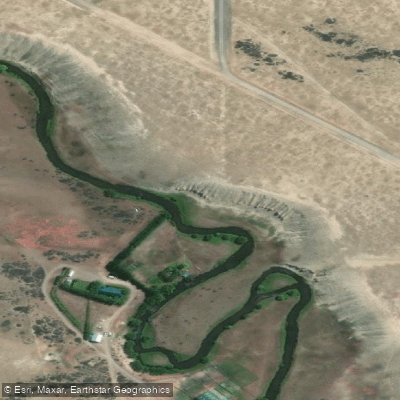
Río Vizcachas
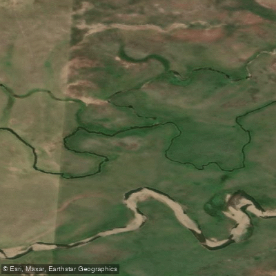
Río Brazo Sur del Río Coig (Coyle)
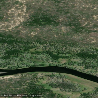
Río Rubens
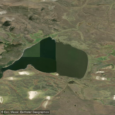
Laguna Cóndor
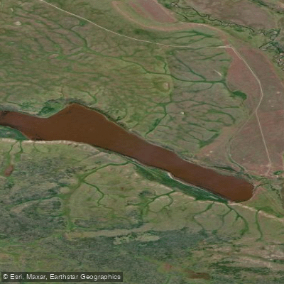
Laguna Larga
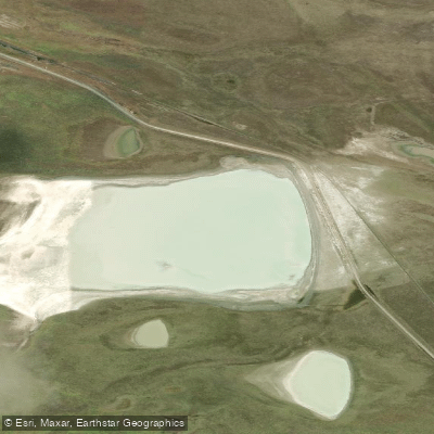
Laguna Blanca
Explore Santa Cruz waters
Top paddling waters
No waters available right now.
Popular Cities
Loading popular cities...
Explore near Río Turbio
Access points
Nearby waters
More in Santa Cruz

Smarter Paddling Starts in the App.
Paddleways gives you everything you need to plan smarter, paddle better, and own every trip from first launch to takeout.