Río Colastine
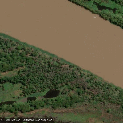
Río Colastine
- Boat Ramps
- 0
- Access Points
- 0
- Campsites
- 1
The Río Colastiné is a branch of the Río Paraná approximately 50 kilometers long, located in the province of Santa Fe within the Departamento La Capital, running between the cities of Santa Fe and Paraná. Its name derives from an indigenous tribe of the region. The river's inlet draws from the right bank of the main Paraná channel near the locality of El Cerrito on the Entre Ríos coast, while its outlet lies downstream of the city of Paraná, near the santafesina city of Coronda — though Coronda itself sits on the Río Coronda, a separate Paraná branch.
Being a secondary arm of a lowland river system, the Colastiné is characterized by a continuous tendency to shift its channel, which is managed through periodic dredging. This dynamic, meandering nature is typical of Paraná delta tributaries and is worth keeping in mind when navigating. Between the Colastiné and the main Paraná channel lies a low-lying island known as Isla de Santa Cándida, which is entirely floodable and has no permanent population.
The city of Santa Fe draws its potable water supply from this river, which speaks to its role as a significant freshwater resource in the region. The villa of San José del Rincón, historically the second most important city in the province and now effectively part of the greater Santa Fe urban area, sits on the river's banks.
Paddlers have used the Puente Colgante area of Santa Fe as a departure point, traveling through the Puerto Amarras zone and out toward Alto Verde and the access canal. The river passes sandbars and is frequented by wading birds including herons. The Islote Curupí, a protected natural area with walkways along the riverbank, lies within the broader paddling corridor. The route along Arroyo Miní, which borders Ruta 168, connects back to the Colastiné for a return to Santa Fe. Two major road crossings span the river: Ruta Provincial 1 and Ruta Nacional 168, the latter providing access to the Túnel Subfluvial Paraná-Santa Fe.
Fishing activity on the river targets species including spotted sorubim and trahira, with nearby waters such as Laguna Setúbal and Laguna La Cuarentena also within the general paddling area.
Water access, boat ramps & amenities
Learn how to get on Río Colastine. Uncover great paddling access points, boat ramps, and all the facilities you need for an unforgettable day on the water. Some locations shown may border or include private property. Always check property boundaries and applicable regulations before visiting. PaddleWays's Public & Private Land layer can help you plan your access with confidence.
Paddle smarter with real-time insights
Whether you're en route and conditions shift or you're looking for the best spot based on current flows, we enable you to make informed decisions on the fly.







Santa Fe licenses and regulations

Find Places to Paddle

Over 400,000 Places to Paddle
Every user gets free access to launch points, boat ramps, and public property parcels.


Water and weather conditions (10 day forecast)
See the best times to paddle Río Colastine and check the forecast before you go.
Colastiné - RN N° 168
Paddling near Río Colastine

Río Paraná
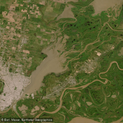
Laguna Setubal o de Guadalupe
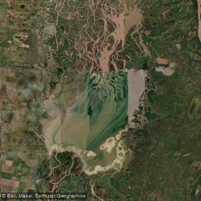
Laguna Coronda
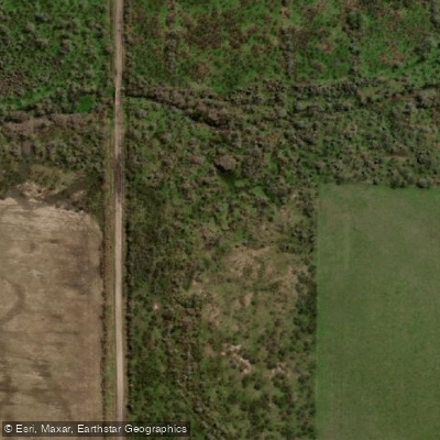
Arroyo de las Tunas
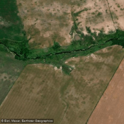
Arroyo Tapera de Queipo
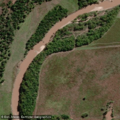
Arroyo Hernandarias
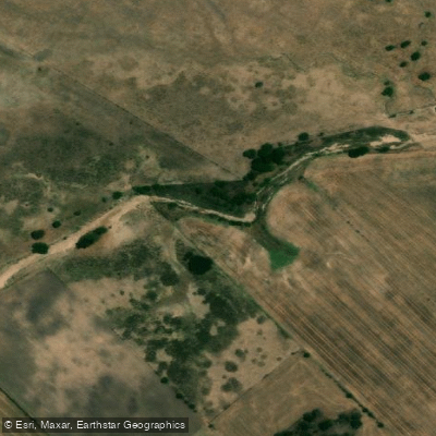
Arroyo del Durazno
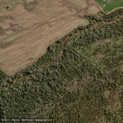
Arroyo El Durazno
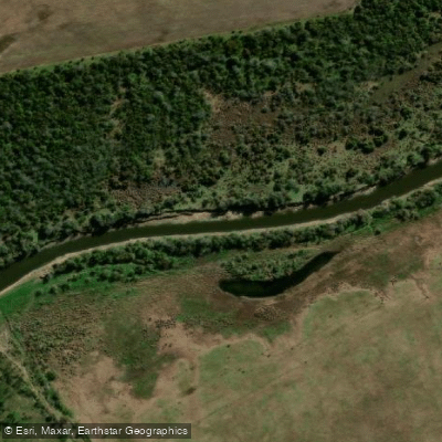
Arroyo Monje
Explore Santa Fe waters
Top paddling waters
No waters available right now.
Popular Cities
Loading popular cities...
Explore near Río Colastine

Smarter Paddling Starts in the App.
Paddleways gives you everything you need to plan smarter, paddle better, and own every trip from first launch to takeout.