Bahía San Sebastián
- Saltwater
- Bay
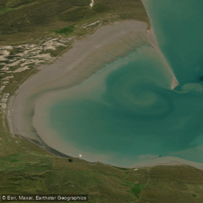
Bahía San Sebastián
- Saltwater
- Bay
- Sq. miles
- 232
- Boat Ramps
- 0
- Access Points
- 0
- Campsites
- 0
Bahía San Sebastián is a large, semicircular coastal bay located on the northern coast of Tierra del Fuego, Argentina, approximately 80 kilometers north of Río Grande via National Route 3. The bay is a significant geographical feature, measuring roughly 55 kilometers by 40 kilometers, occupying a wide, low-relief valley. It is a remote and wild environment characterized by a rugged shoreline that includes rocky outcrops, pebble stretches, and expansive tidal flats. The bay is a critical site within the Western Hemisphere Shorebird Reserve Network, hosting a high concentration of migratory and resident shorebirds, making it a premier destination for wildlife observation from the water. The area's primary access point for coastal activities is the vicinity of Faro San Sebastian, a beach area noted for its tranquil, uncrowded atmosphere and commitment to environmental standards. For paddlers, the most critical consideration is the extreme tidal range, which can reach up to 11 meters between high and low tide. This massive tidal exchange creates vast areas of exposed flats and generates strong currents, requiring meticulous planning around tide tables. Paddlers must launch and land according to the tide to avoid being stranded far from the water's edge or encountering dangerous currents. The bay is fully exposed to the prevailing winds and open ocean swell from the South Atlantic, resulting in significant fetch and the potential for rough conditions and a surf zone at entry points. The remote nature of the coastline means facilities are minimal; the Faro San Sebastian beach area may offer basic amenities like picnic tables. The water is cold year-round, typical of the sub-Antarctic region, and the bay's aesthetic is one of stark, windswept beauty, with views of distant mesas and a dynamic, bird-rich intertidal landscape. The combination of extreme tides, strong winds, cold water, and remoteness demands a high level of self-sufficiency, skill, and preparation from any paddler venturing onto this water.
Water access, boat ramps & amenities
Learn how to get on Bahía San Sebastián. Uncover great paddling access points, boat ramps, and all the facilities you need for an unforgettable day on the water. Some locations shown may border or include private property. Always check property boundaries and applicable regulations before visiting. PaddleWays's Public & Private Land layer can help you plan your access with confidence.
Paddle smarter with real-time insights
Whether you're en route and conditions shift or you're looking for the best spot based on current flows, we enable you to make informed decisions on the fly.







Tierra Del Fuego licenses and regulations

Find Places to Paddle

Over 400,000 Places to Paddle
Every user gets free access to launch points, boat ramps, and public property parcels.


Tides, wind & water conditions (10 day forecast)
On open water, wind and tide matter as much as the weather. See the best times to paddle Bahía San Sebastián and check the marine forecast before you launch.
Loading tide predictions…
Paddling near Bahía San Sebastián
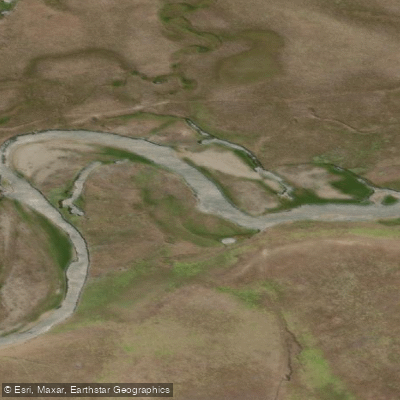
Río Chico o Carmen Sylva
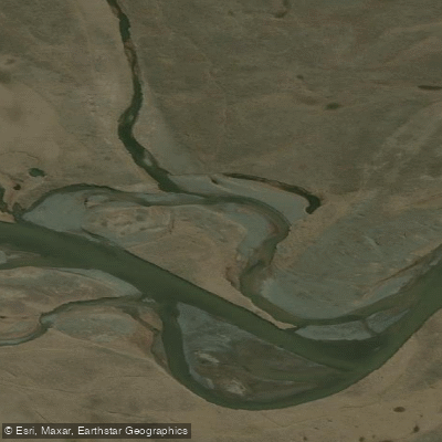
Río de la Turba
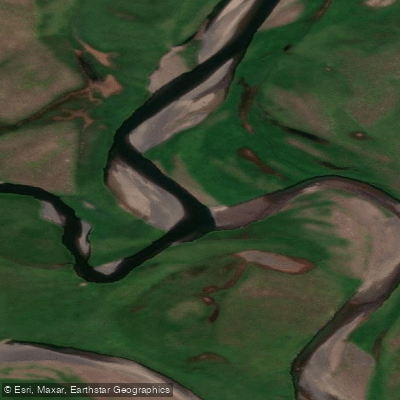
Río de las Turbas o Menéndez
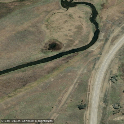
Río Ewan
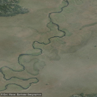
Río Ewan (Brazo Sur)
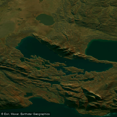
Lago Yehuin
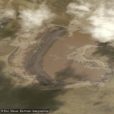
Laguna de los Patos
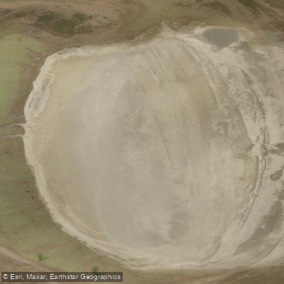
Laguna Escondida
Explore Tierra Del Fuego waters
Top paddling waters
No waters available right now.
Popular Cities
Loading popular cities...
Explore near Bahía San Sebastián

Smarter Paddling Starts in the App.
Paddleways gives you everything you need to plan smarter, paddle better, and own every trip from first launch to takeout.