Río Chico o Carmen Sylva
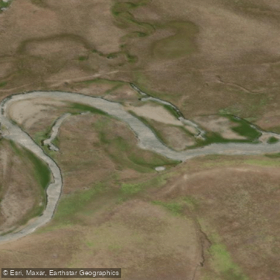
Río Chico o Carmen Sylva
- Boat Ramps
- 0
- Access Points
- 0
- Campsites
- 0
Río Chico, also known as río Carmen Sylva, is a transboundary river on the Isla Grande de Tierra del Fuego, originating at Monte Cazuela in the sierra Carmen Silva near bahía Inútil on the Chilean side, then flowing east across the border into the Argentine province of Tierra del Fuego. Its mouth lies approximately 15 kilometers north of the city of Río Grande, where it drains into the Mar Argentino of the Atlantic Ocean. Roughly half of its course runs through Chile and the remainder through Argentina.
The river's character through its lower Argentine reach is distinctly meandering, winding across the flat Magellanic pampa in broad, looping curves. This lowland terrain gives the river a slow, sinuous quality. Tributary streams feeding the river carry substantial volumes of water during snowmelt periods, occasionally transporting small ice fragments; outside of the snowmelt season, most of these tributaries run nearly dry.
The river has a well-established reputation for fly fishing, particularly dry-fly fishing for large, vividly colored brown trout. The Bella Sofia Lodge operates in the area and caters to visiting anglers, which is worth noting for paddlers who may share the water with fishing parties.
The broader valley carries significant historical and cultural weight. The area was traditionally inhabited by the Selknam people, who hunted guanaco across this landscape. The valley was declared a Historic Monument by Chile's Ministry of Education on May 31, 1969, a designation that encompasses caves and shelters in the zone. The river's name reflects the explorations of Julio Popper, a Romanian adventurer who named it after Carmen Sylva, the literary pseudonym of Queen Elisabeth of Romania, in the late nineteenth century. The surrounding land is used primarily for extensive sheep ranching.
Water access, boat ramps & amenities
Learn how to get on Río Chico o Carmen Sylva. Uncover great paddling access points, boat ramps, and all the facilities you need for an unforgettable day on the water. Some locations shown may border or include private property. Always check property boundaries and applicable regulations before visiting. PaddleWays's Public & Private Land layer can help you plan your access with confidence.
Paddle smarter with real-time insights
Whether you're en route and conditions shift or you're looking for the best spot based on current flows, we enable you to make informed decisions on the fly.







Tierra Del Fuego licenses and regulations

Find Places to Paddle

Over 400,000 Places to Paddle
Every user gets free access to launch points, boat ramps, and public property parcels.


Water and weather conditions (10 day forecast)
See the best times to paddle Río Chico o Carmen Sylva and check the forecast before you go.
Chico - Las Violetas
Paddling near Río Chico o Carmen Sylva
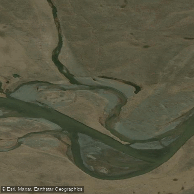
Río de la Turba
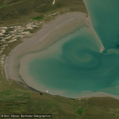
Bahía San Sebastián
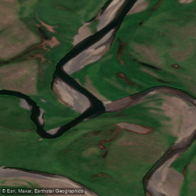
Río de las Turbas o Menéndez
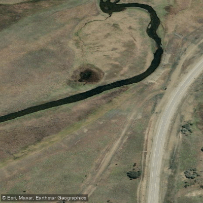
Río Ewan
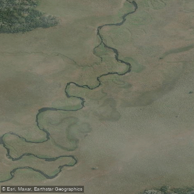
Río Ewan (Brazo Sur)
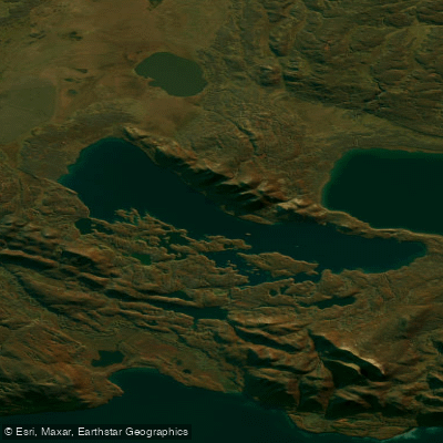
Lago Yehuin
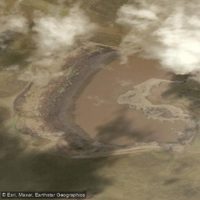
Laguna de los Patos
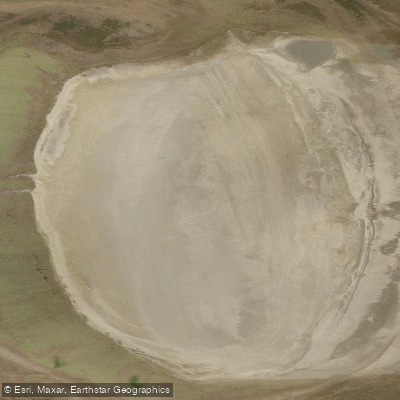
Laguna Escondida
Explore Tierra Del Fuego waters
Top paddling waters
No waters available right now.
Popular Cities
Loading popular cities...
Explore near Río Chico o Carmen Sylva

Smarter Paddling Starts in the App.
Paddleways gives you everything you need to plan smarter, paddle better, and own every trip from first launch to takeout.