Macquarie River
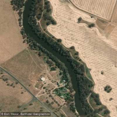
Macquarie River
- Boat Ramps
- 3
- Access Points
- 0
- Campsites
- 14
The Macquarie River in central-western New South Wales is named after Lachlan Macquarie, the last governor of the colony of New South Wales, and forms part of the Murray-Darling basin, connecting ultimately to the Barwon, Darling, and Murray Rivers before reaching the Southern Ocean. The river flows northwest through a mix of crown and pastoral lands, with large river red gums lining its banks and a wide variety of native birds and animals throughout.
The primary paddling route is the Macquarie River Canoe and Kayak Trail, a 150-kilometre journey beginning in Wellington and finishing in Narromine, passing through the regional centre of Dubbo. This trail is typically completed over four to five days, though up to eight days is possible. Daily paddling times range from five and a half to eight hours, with actual progress governed by the river's flow rate. Free campsites and caravan parks are available along the route, and Land and Property Management Authority maps show vehicle routes to each section's finish point and mark potential overnight campsites, making logistical support feasible.
Upstream from Wellington, a 34-kilometre paddle from Mumbil — located just downstream of Burrendong Dam — provides an additional access option into Wellington. The upper reaches of the river above Wellington involve rocky rapids and tight manoeuvring, requiring techniques such as lining canoes down rapids rather than portaging, as there are no established portage trails in those sections. This upper section is more technically demanding and not part of the main trail.
Further downstream, the river eventually reaches the Macquarie Marshes near Warren, one of the largest remaining inland semi-permanent wetlands in south-eastern Australia and a Ramsar wetland of international importance. The marshes support over 75 waterbird species, 156 woodland bird species, 29 mammal species, 15 frog species, 60 reptile species, and 11 native fish species. Guided kayak tours of the Macquarie Marshes operate seasonally, with tours available only during spring. The marshes feature extensive phragmites reed beds, river red gum woodlands, and mixed marsh floodplains.
The main Wellington-to-Narromine trail is suited to paddlers prepared for multi-day flatwater touring, while the upper river sections above Wellington demand whitewater skills and experience with moving water and rapid management.
Water access, boat ramps & amenities
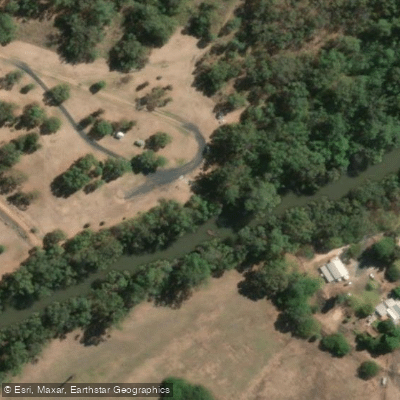
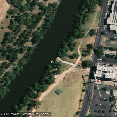
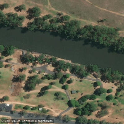
Learn how to get on Macquarie River. Uncover great paddling access points, boat ramps, and all the facilities you need for an unforgettable day on the water. Some locations shown may border or include private property. Always check property boundaries and applicable regulations before visiting. PaddleWays's Public & Private Land layer can help you plan your access with confidence.
Paddle smarter with real-time insights
Whether you're en route and conditions shift or you're looking for the best spot based on current flows, we enable you to make informed decisions on the fly.








Find Places to Paddle

Over 400,000 Places to Paddle
Every user gets free access to launch points, boat ramps, and public property parcels.


Water and weather conditions (10 day forecast)
See the best times to paddle Macquarie River and check the forecast before you go.
Macquarie River At Dubbo
All Flow Stations
Paddling near Macquarie River
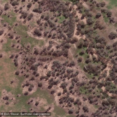
Bogan River
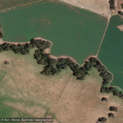
Cudgegong River
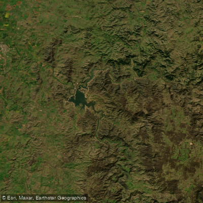
Lake Burrendong
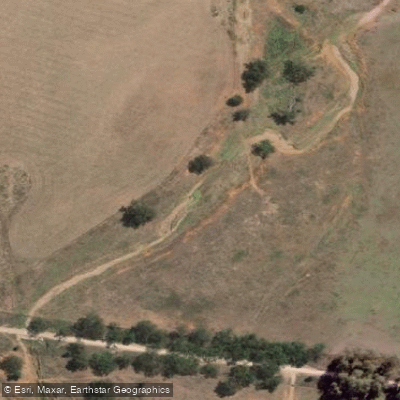
Deep Creek
Branch Creek
Scrubby Creek
Boundary Creek
Crooked Creek
Stony Creek
Explore New South Wales waters
Top paddling waters
No waters available right now.
Popular Cities
Loading popular cities...
Explore near Macquarie River
Access points
Nearby waters
More in New South Wales

Smarter Paddling Starts in the App.
Paddleways gives you everything you need to plan smarter, paddle better, and own every trip from first launch to takeout.