Cudgegong River
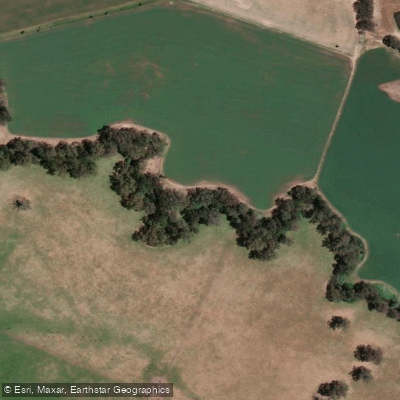
Cudgegong River
- Boat Ramps
- 0
- Access Points
- 0
- Campsites
- 0
The Cudgegong River flows through New South Wales, approximately 160 kilometres north of Sydney, passing through the Central Tablelands region near Rylstone and Mudgee. The river is impounded by Windamere Dam, located 30 kilometres south-east of Mudgee, creating Lake Windamere. Upstream of the dam, the river runs through Wollemi National Park at the area known as Ganguddy-Dunns Swamp, a section of particular interest to paddlers.
At Ganguddy-Dunns Swamp, roughly 5 kilometres of paddleable water is accessible from the Cudgegong Picnic Area, where a boat ramp provides entry. The access ramps at the campground — near the Kookaburra and Platypus campsites — are described as gradually sloping, well-formed gravel and sandy surfaces. Road access to the area is via Bylong Valley Way and involves unsealed road sections. The surrounding landscape features sandstone escarpments, deep gorges, and pagoda rock formations within the World Heritage-listed Wollemi area. The river winds through reed-lined channels and quieter tributary sections upstream, while the downstream paddle leads to the Kandos weir.
A one-hour paddle is generally sufficient to explore either upstream or downstream from the picnic area launch point, while two hours allows for a more complete exploration of the accessible waterway. Guided tours operate seasonally, running from 4:00pm to 6:00pm during daylight saving time (October to April) and from 3:00pm to 5:00pm outside daylight saving. Morning tours are also available. Wildlife along the river includes long-necked turtles, purple swamp hens, and platypus, with native birds nesting in the reeds.
At Lake Windamere, Cudgegong Waters Park on the lake's southern foreshore, 13 kilometres south of the dam wall, provides a boat ramp and day access for kayaking and other water sports at a fee of $10 per vehicle. The lake is also used for water skiing and jet skis, which paddlers should be aware of when planning a trip there. Fishing in the Cudgegong River downstream of Windamere Dam yields rainbow and brown trout, while the lake itself is stocked with golden perch, Murray cod, and silver perch.
The Ganguddy section carries cultural significance as traditional country of the Wiradjuri Aboriginal people, and guided tours incorporate this history alongside the area's European settlement story.
Water access, boat ramps & amenities
Learn how to get on Cudgegong River. Uncover great paddling access points, boat ramps, and all the facilities you need for an unforgettable day on the water. Some locations shown may border or include private property. Always check property boundaries and applicable regulations before visiting. PaddleWays's Public & Private Land layer can help you plan your access with confidence.
Paddle smarter with real-time insights
Whether you're en route and conditions shift or you're looking for the best spot based on current flows, we enable you to make informed decisions on the fly.








Find Places to Paddle

Over 400,000 Places to Paddle
Every user gets free access to launch points, boat ramps, and public property parcels.


Water and weather conditions (10 day forecast)
See the best times to paddle Cudgegong River and check the forecast before you go.
Cudgegong River At Yamble Bridge
All Flow Stations
Paddling near Cudgegong River
Macquarie River
Turon River
Lake Burrendong
Lachlan River
Abercrombie River
Browns Creek
Belubula River
Goobang Creek
Lake Wyangala
Explore New South Wales waters
Top paddling waters
No waters available right now.
Popular Cities
Loading popular cities...
Explore near Cudgegong River

Smarter Paddling Starts in the App.
Paddleways gives you everything you need to plan smarter, paddle better, and own every trip from first launch to takeout.