Paddling in Diamantina National Park
- National Park
- Lakes
- 10
- Rivers
- 13
- Access
- 0
- Boat Ramps
- 0
- Shops
- 0
Diamantina National Park sits in outback Queensland, deep in Channel Country, where water behaves by its own rules.
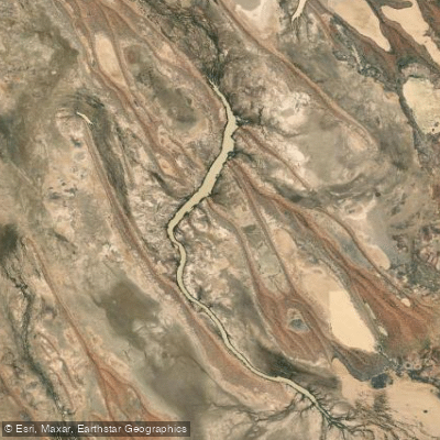
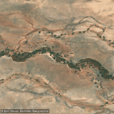
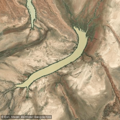
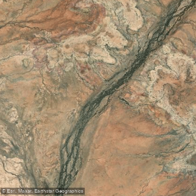
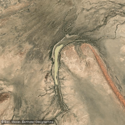
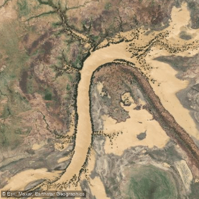
The landscape is defined by braided floodplains, ephemeral channels, and waterholes that persist long after the rains have gone — and it is on these that the park's paddling turns.
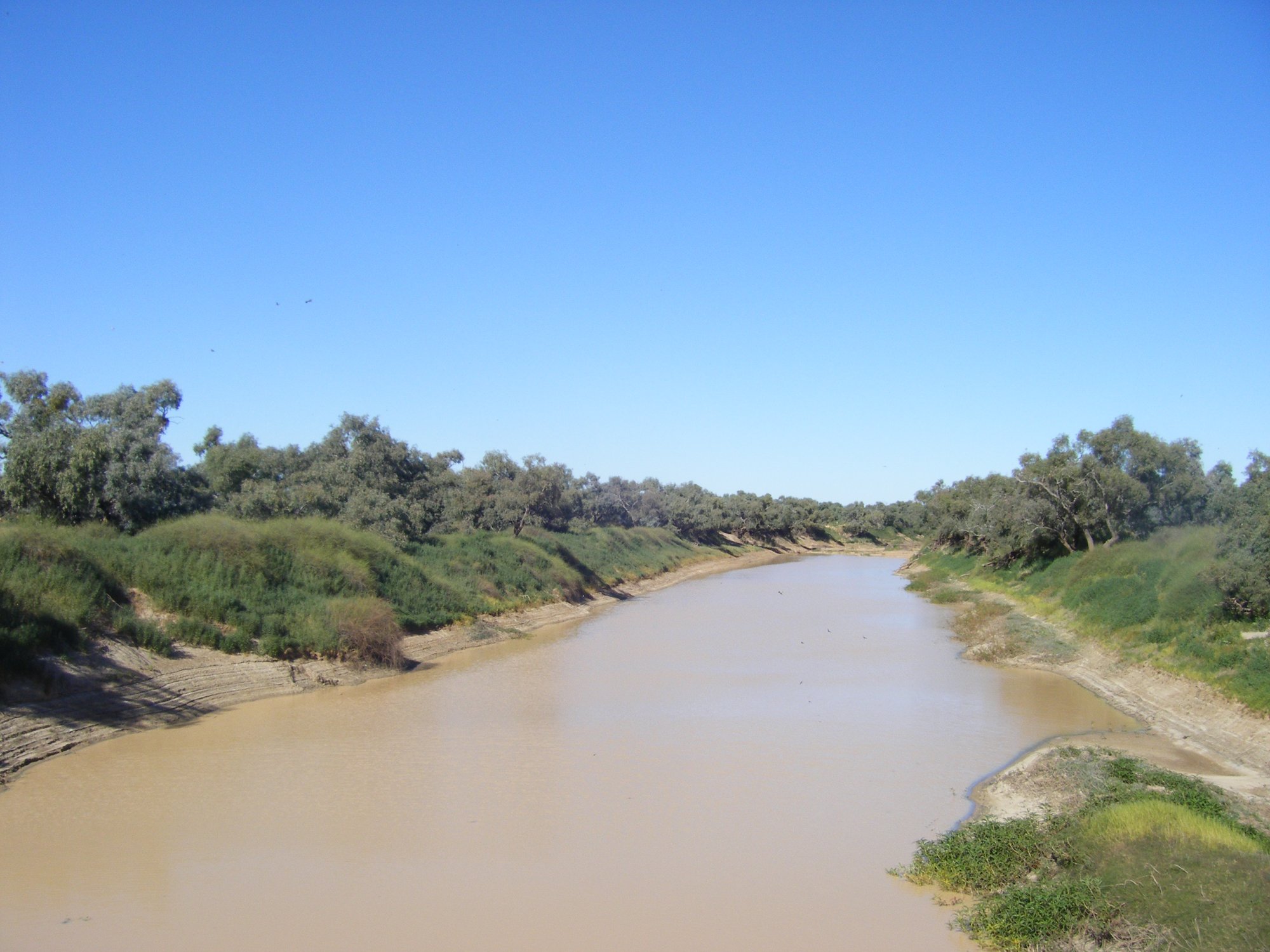
The Diamantina River is the park's central waterway, a slow, wide channel that spreads across the floodplain when conditions allow.
Paddling here is flatwater work — canoe or kayak on permanent waterholes and the seasonal lakes that form after rainfall fills the channels.
This is not a river you run for gradient; you paddle it for the silence, the scale, and the birdlife that concentrates around the water.
Hunters Gorge, accessible from its own camping area, puts paddlers next to one of the park's notable reaches and is a practical base for time on the water.
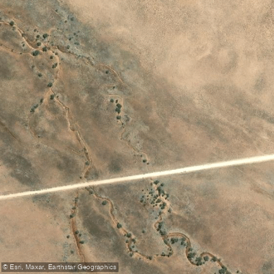
Middle Creek and Nandibargoola Creek are among the smaller channels that thread the park, though like most water here, their paddleability depends entirely on seasonal conditions. The rhythms of this country are worth understanding before you go.
Water in the Diamantina system is tied to Queensland's wet season and the unpredictable flooding that follows. The permanent waterholes hold water year-round, but the broader lakes and channels that make longer paddles possible are seasonal. Timing matters.
Camping permits for the park are booked online through Queensland Parks. Check in at the Ranger Base when you arrive — it is the right place to get current conditions on water levels before you launch anything.
Paddling in outback Queensland demands self-sufficiency. There are no shuttle services, no hire operations inside the park, and distances between water and help are real.
Bring your own boat, carry your own safety gear, and treat the waterholes with the care they deserve — in this country, water is everything.
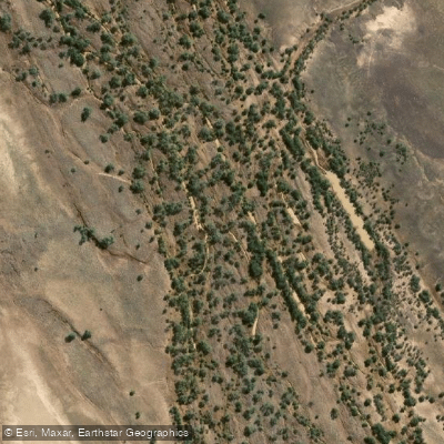
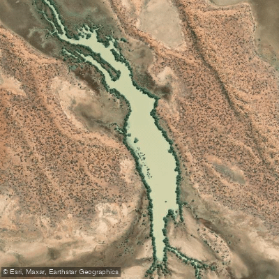
Top waters to paddle near Diamantina National Park
Water and weather conditions (10 day forecast)
See the best times to paddle Diamantina National Park and check the forecast before you go.
No forecast data available.
Paddle smarter with real-time insights
Whether you're en route and conditions shift or you're looking for the best spot based on current flows, we enable you to make informed decisions on the fly.







Paddling near Diamantina National Park
Loading...
Gateway towns
Where to base yourself for paddling in Diamantina National Park.
- LençóisBahia
Main hub for the park, with tour agencies, guides, hotels, restaurants, a bus station, and a small airport.
- Vale do CapãoBahia
Village base for trekkers heading into the park's interior, with guesthouses and access to remote trails.
- MucugêBahia
Southern gateway town with accommodation options and access to a different section of the park.
- AndaraíBahia
Gateway town on the park's eastern side, used as a base for reaching attractions in that part of the park.
Explore Diamantina National Park
Top paddling waters
Popular Cities
Loading popular cities...

Smarter Paddling Starts in the App.
Paddleways gives you everything you need to plan smarter, paddle better, and own every trip from first launch to takeout.