Paddling in Mooloolah River National Park
- National Park
- Lakes
- 0
- Rivers
- 4
- Access
- 0
- Boat Ramps
- 0
- Shops
- 0
Mooloolah River National Park sits on the Sunshine Coast of southeast Queensland, about an hour and fifteen minutes north of Brisbane, behind Kawana Waters.
The park protects coastal lowland habitat — mangrove edges, heath plains, sedgelands, and patches of rainforest — and the water that runs through it is flatwater, tidal, and slow. This is canoe and kayak country, not whitewater.
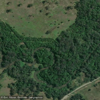
The Mooloolah River is the paddling anchor here. A 6 km section of the river adjoins the national park, and the character of the water shifts as you move upstream.
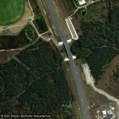
From the boat ramp at Outrigger Park, off Brisbane Road (accessed southbound from Mooloolaba), paddlers head west under the Brisbane Road and Sunshine Motorway bridges before reaching the park boundary.
The banks are muddy mangrove, the water is tidal and calm, and the river opens into heath plains and sedgelands as the park takes over.
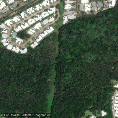
The upper reaches, in the Jowarra section of the park, narrow into rainforest — piccabeen palm groves, melaleuca swamp, fig trees — where the river is home to platypus, most reliably spotted at dawn or dusk by quiet paddlers.
The launch at Outrigger Park is suitable for canoes, kayaks, and small boats.
Sunshine Coast Council has also been developing an all-abilities pontoon at Charles Clarke Park to improve non-motorised craft access to the river trail, so it's worth checking current access points before you go.
Mosquitoes are a genuine consideration along this stretch, particularly in the rainforest sections — bring repellent. The park holds no whitewater, no significant gradient, and no technical features.
What it holds is a working tidal estuary transitioning into sheltered coastal rainforest, and the kind of quiet that rewards paddlers who move slowly and pay attention.
Top waters to paddle near Mooloolah River National Park
Water and weather conditions (10 day forecast)
See the best times to paddle Mooloolah River National Park and check the forecast before you go.
No forecast data available.
Paddle smarter with real-time insights
Whether you're en route and conditions shift or you're looking for the best spot based on current flows, we enable you to make informed decisions on the fly.







Paddling near Mooloolah River National Park
Loading...
Gateway towns
Where to base yourself for paddling in Mooloolah River National Park.
- Sippy DownsQueensland
Closest township to the park's main trailheads, with accommodation and services for visitors.
- BeerwahQueensland
Access point via Steve Irwin Way, near the Jowarra section entrance off the Bruce Highway.
- CaloundraQueensland
Nearby Sunshine Coast town serving visitors to the park's southern sections with full visitor services.
- MaroochydoreQueensland
Largest service hub on the Sunshine Coast, north of the park with broad lodging and supplies.
Explore Mooloolah River National Park
Top paddling waters
Popular Cities
Loading popular cities...
Smarter Paddling Starts in the App.
Paddleways gives you everything you need to plan smarter, paddle better, and own every trip from first launch to takeout.