Paddling in Narriearra Caryapundy Swamp National Park
- National Park
- Lakes
- 15
- Rivers
- 8
- Access
- 0
- Boat Ramps
- 0
- Shops
- 0
The water here is not permanent.
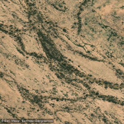
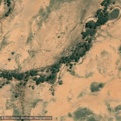
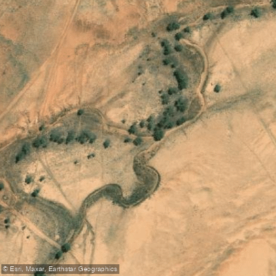
Narriearra Caryapundy Swamp National Park sits in the far north-west corner of New South Wales, deep in Channel Country, where the Bulloo River periodically floods out across the flat desert landscape and creates something extraordinary: enormous temporary wetlands in the outback.
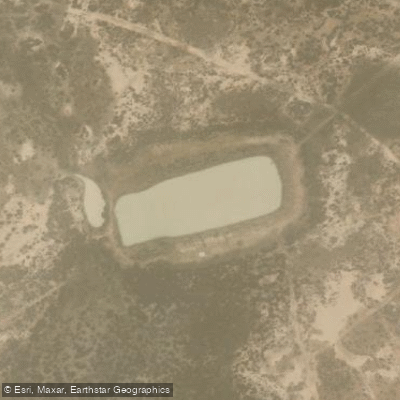
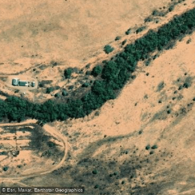
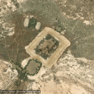
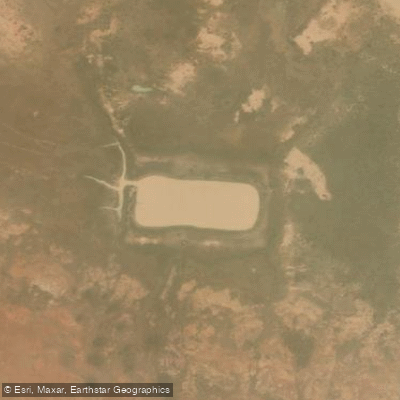
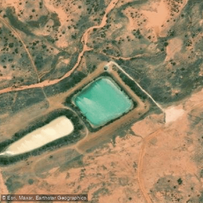
In wet years, the Bulloo River spills across Narriearra station and terminates in two vast, semi-permanent bodies of water — Caryapundy Swamp and the Bulloo Overflow. These are the paddling waters of the park.
When full, they spread across the floodplains in shallow, open sheets, drawing massive numbers of nesting waterbirds into lignum wetlands and coolabah-lined channels.
The park's own map marks a canoe and kayak location, confirming that paddling these waters is an intended use. But everything here is conditional on rainfall, and in dry years there may be nothing to paddle at all. Getting to the water requires commitment.
The park is roughly an hour's drive from Tibooburra on unsealed gravel roads that close after rain — the same rain that fills the swamps. A 4WD is essential. There is no mobile coverage to speak of, and no facilities beyond the Caryapundy lookout campground.
Self-sufficiency is not optional. The paddling itself, when conditions allow, is flatwater across shallow desert wetland — slow, wide, and disorienting in the best way.
The scale of Caryapundy Swamp and the Bulloo Overflow is hard to reckon with until you're on the water, surrounded by brolgas and waterbirds with sand dunes visible beyond the flood's edge. This is not a place to push distance or test gear.
It's a place to move quietly through a landscape that exists only because water arrived. Check current park alerts before any trip — the park has been listed as closed due to alerts, and road and water conditions change fast in this country.
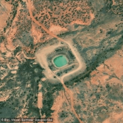
Top waters to paddle near Narriearra Caryapundy Swamp National Park
Water and weather conditions (10 day forecast)
See the best times to paddle Narriearra Caryapundy Swamp National Park and check the forecast before you go.
No forecast data available.
Paddle smarter with real-time insights
Whether you're en route and conditions shift or you're looking for the best spot based on current flows, we enable you to make informed decisions on the fly.







Paddling near Narriearra Caryapundy Swamp National Park
Loading...
Gateway towns
Where to base yourself for paddling in Narriearra Caryapundy Swamp National Park.
- TibooburraNSW
Closest town to the park entrance; your last stop for fuel, supplies, and accommodation before the unsealed road in.
- WanaaringNSW
Small outback settlement on the Bourke approach route, used as a waypoint for travellers coming from the east.
- BourkeNSW
Larger service town on the eastern approach via Wanaaring, offering fuel, supplies, and accommodation for the long drive in.
- Broken HillNSW
Major regional centre on the Silver City Highway approach, a common departure point for stocking up before the multi-hour drive to the park.
Explore Narriearra Caryapundy Swamp National Park
Top paddling waters
Popular Cities
Loading popular cities...

Smarter Paddling Starts in the App.
Paddleways gives you everything you need to plan smarter, paddle better, and own every trip from first launch to takeout.