Paddling in Paroo-Darling National Park
- National Park
- Lakes
- 16
- Rivers
- 5
- Access
- 0
- Boat Ramps
- 0
- Shops
- 0
Paroo-Darling National Park sits in the Far West of New South Wales, near White Cliffs in the Wilcannia area — arid outback country where water is scarce, unpredictable, and consequential when it arrives.
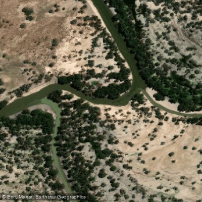
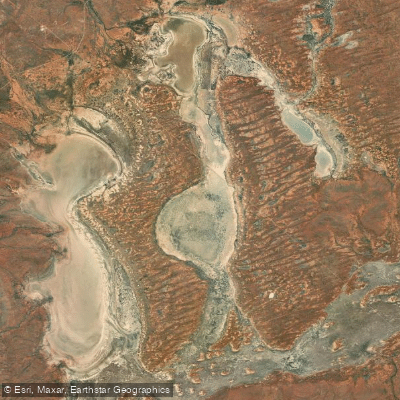
The park spans two distinct regions: the Paroo River catchment in the north, taking in Peery and Poloko Lakes, and the Paroo-Darling confluence country to the south.
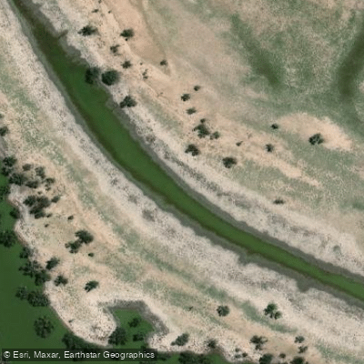
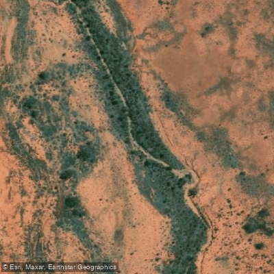
Paddling here is flatwater and flood-dependent, shaped entirely by rainfall and the rhythms of an unregulated river system. The Paroo River is the only unregulated river in the Murray-Darling Basin — no dams, no weirs, no managed releases.
That distinction matters on the water. Flows are entirely natural, which means the river runs when it rains and drops when it doesn't.
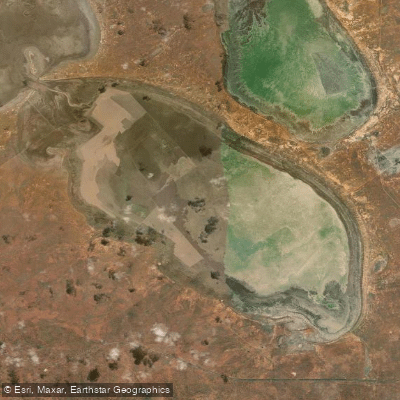
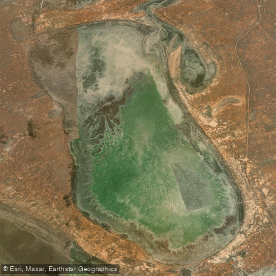
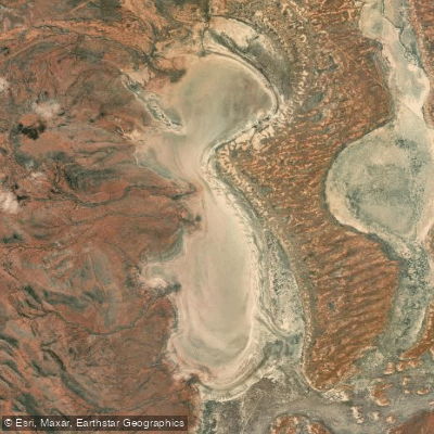
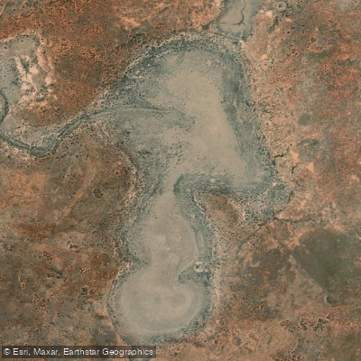
Peery Lake, in the northern section of the park, is the most accessible paddling destination: when full, it holds water for several years and rewards a paddle-around with birdlife on a scale that's hard to overstate — a recent survey recorded 60,000 birds.
The lake is also walkable from shore, so conditions can be read before launching. The southern section, centred on the old Wilga Station, brings paddlers to the Darling River.
The Coach and Horses campground sits roughly 50 kilometres east of Wilcannia and is one of the more established river camps along the Darling — a practical base for time on the water. Camping here is available, though fires are not permitted.
Access to the park is via dry-weather roads, which is a real constraint. After rain — exactly when the Paroo and its overflow lakes are most worth paddling — the roads can close.
Check conditions before committing to a trip, and build flexibility into the plan. The Paroo River Wetlands carry Ramsar listing as a wetland of international significance, which shapes how the park is managed; treat the water and its margins accordingly.
This is remote outback paddling. No whitewater, no current to speak of when lakes are full, no infrastructure beyond what the campground provides.
What it does have is scale, silence, and the particular weight of paddling the only free-running river left in one of Australia's great river basins.
Top waters to paddle near Paroo Darling National Park
Water and weather conditions (10 day forecast)
See the best times to paddle Paroo-Darling National Park and check the forecast before you go.
No forecast data available.
Paddle smarter with real-time insights
Whether you're en route and conditions shift or you're looking for the best spot based on current flows, we enable you to make informed decisions on the fly.







Paddling near Paroo-Darling National Park
Loading...
Gateway towns
Where to base yourself for paddling in Paroo-Darling National Park.
- White CliffsNSW
Gateway to the northern (Peery Lake) section; the park visitor centre is here and it's the nearest town for supplies and accommodation.
- WilcanniaNSW
Main access point for both park sections, with sealed road north to White Cliffs and the turn-off east to the Wilga/Coach and Horses camping area.
Explore Paroo-Darling National Park
Top paddling waters
Popular Cities
Loading popular cities...

Smarter Paddling Starts in the App.
Paddleways gives you everything you need to plan smarter, paddle better, and own every trip from first launch to takeout.