Paddling in Ramornie National Park
- National Park
- Lakes
- 0
- Rivers
- 3
- Access
- 0
- Boat Ramps
- 0
- Shops
- 0
Ramornie National Park sits in northern New South Wales, in the Clarence River catchment country west of Grafton.
The park's paddling is anchored to that river system — broad, tannin-stained lowland water moving through subtropical forest and cleared river flats.
Station Creek is the park's dedicated put-in point, with a canoe launch and viewing platform that has historically given paddlers direct water access.
That infrastructure is currently out of service: the launch and platform have been removed, and public access to that site remains restricted until a replacement structure is installed.
Check current alerts on the NSW National Parks website before planning any trip that relies on Station Creek access — it is the kind of thing that changes without much notice. Doughboy Creek is the other named water within the park boundary.
Like most tributaries feeding into the Clarence system at this latitude, it runs best after rain and can drop to marginal levels during dry spells.
The Clarence itself forms the broader context for paddling in and around the park, with private properties along the river offering boat ramp access nearby for those who want to paddle the main channel adjacent to park land. This is flatwater country.
The paddling here is about reading a slow, wide river system — watching for snags, managing afternoon wind on open water, and moving through a landscape that the park protects specifically because of its ecological values.
That means the usual expectations of a protected area apply: no disturbance to wildlife, leave-no-trace camping if you're on multi-day water, and awareness that access points and conditions are managed by NSW National Parks and Wildlife Service, not left to sort themselves out.
With the Station Creek launch currently closed, access logistics need confirming before you load the boat.
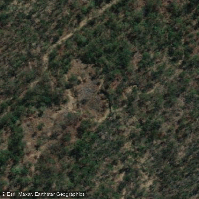
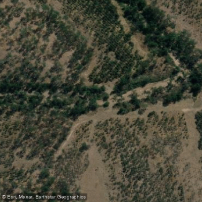
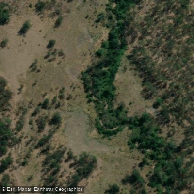
Top waters to paddle near Ramornie National Park
Water and weather conditions (10 day forecast)
See the best times to paddle Ramornie National Park and check the forecast before you go.
No forecast data available.
Paddle smarter with real-time insights
Whether you're en route and conditions shift or you're looking for the best spot based on current flows, we enable you to make informed decisions on the fly.







Paddling near Ramornie National Park
Loading...
Explore Ramornie National Park
Top paddling waters
Popular Cities
Loading popular cities...

Smarter Paddling Starts in the App.
Paddleways gives you everything you need to plan smarter, paddle better, and own every trip from first launch to takeout.