Paddling in Sturt National Park
- National Park
- Lakes
- 24
- Rivers
- 19
- Access
- 0
- Boat Ramps
- 0
- Shops
- 0
Sturt National Park sits in the far north-west corner of New South Wales, where the Strzelecki Desert, the Grey Range, and the gibber plains converge near Cameron Corner.
It is one of the most remote parks in NSW — 340,000 hectares of arid country where water is scarce, ephemeral, and the whole point.
The paddling here centres on Lake Pinaroo, a Ramsar-listed wetland that sits just south of the Queensland border in the northern part of the park.
This is not a reliable paddling destination in the way a river or reservoir might be: Lake Pinaroo fills only after significant rainfall in its catchment, but once full it can hold water for several years.
When it does hold water, it is a wide, open sheet surrounded by drowned coolibah trees — flatwater paddling in a landscape that feels genuinely remote.
The portage from Fort Grey campsite to the lake runs about 750 metres, and that distance grows as the water level drops. Wind is a serious factor on open outback lakes; early morning starts are not optional here, they are how you paddle safely.
The trip out toward Sturt's Tree is a known objective, but whitecaps can shut it down. Fromes Swamp, neighbouring Lake Pinaroo, also holds water in good seasons and draws significant waterbird activity.
Before making the trip, check current water levels through the Bureau of Meteorology's NSW Rainfall and River Conditions tool — conditions can change dramatically between planning and arrival.
The park is managed by NSW National Parks and Wildlife Service; check with them directly for any current access conditions, camping permits, or requirements specific to Fort Grey and the lake precinct. This is not a park you visit for a paddle and leave.
The remoteness is real — the nearest supplies are at Cameron Corner Store. Come with everything you need, expect wind, and treat the water as the rare thing it is out here.
Top waters to paddle near Sturt National Park
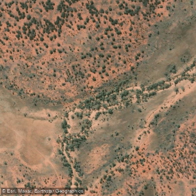
Warri Warri Creek
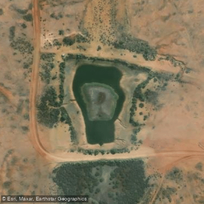
South Myers Tank
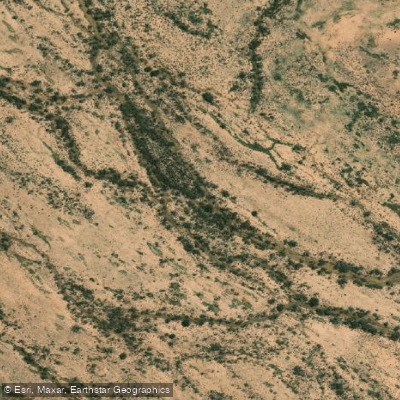
Twelve Mile Creek
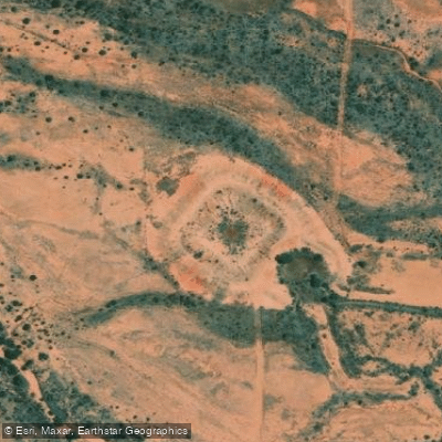
Four Mile Tank
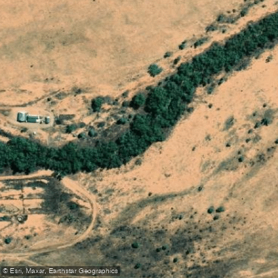
Thomsons Creek
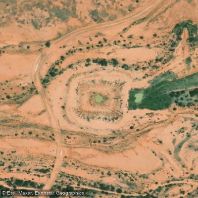
Halfpenny Tank
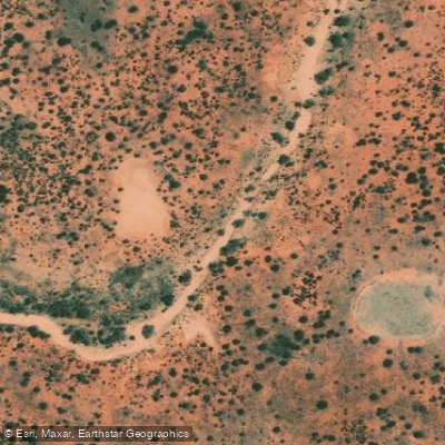
Fromes Creek
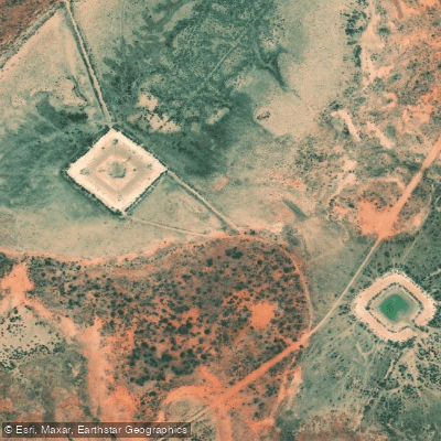
Oy Tank
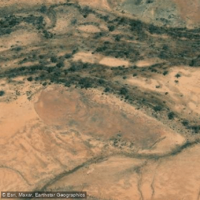
Ganya Creek
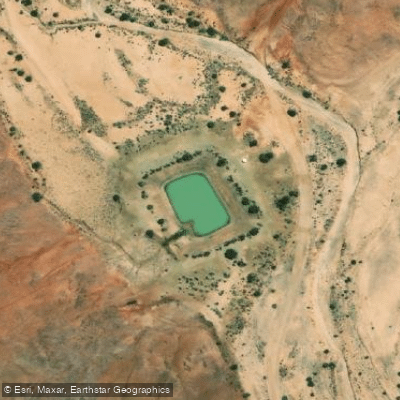
Stubberfield Tank
Water and weather conditions (10 day forecast)
See the best times to paddle Sturt National Park and check the forecast before you go.
No forecast data available.
Paddle smarter with real-time insights
Whether you're en route and conditions shift or you're looking for the best spot based on current flows, we enable you to make informed decisions on the fly.







Paddling near Sturt National Park
Loading...
Gateway towns
Where to base yourself for paddling in Sturt National Park.
- TibooburraNew South Wales
The main gateway town for Sturt National Park, with hotels, a motel, caravan parks, and the park's eastern entrance nearby.
- MilparinkaNew South Wales
Small historic outback settlement on the Sturt's Steps Touring Route, used as a stop for visitors approaching the park from the south.
- Broken HillNew South Wales
The nearest regional centre and common starting point for the Sturt's Steps Touring Route leading to the park, where visitors stock up on supplies.
Explore Sturt National Park
Top paddling waters
Popular Cities
Loading popular cities...

Smarter Paddling Starts in the App.
Paddleways gives you everything you need to plan smarter, paddle better, and own every trip from first launch to takeout.