Barcoo River
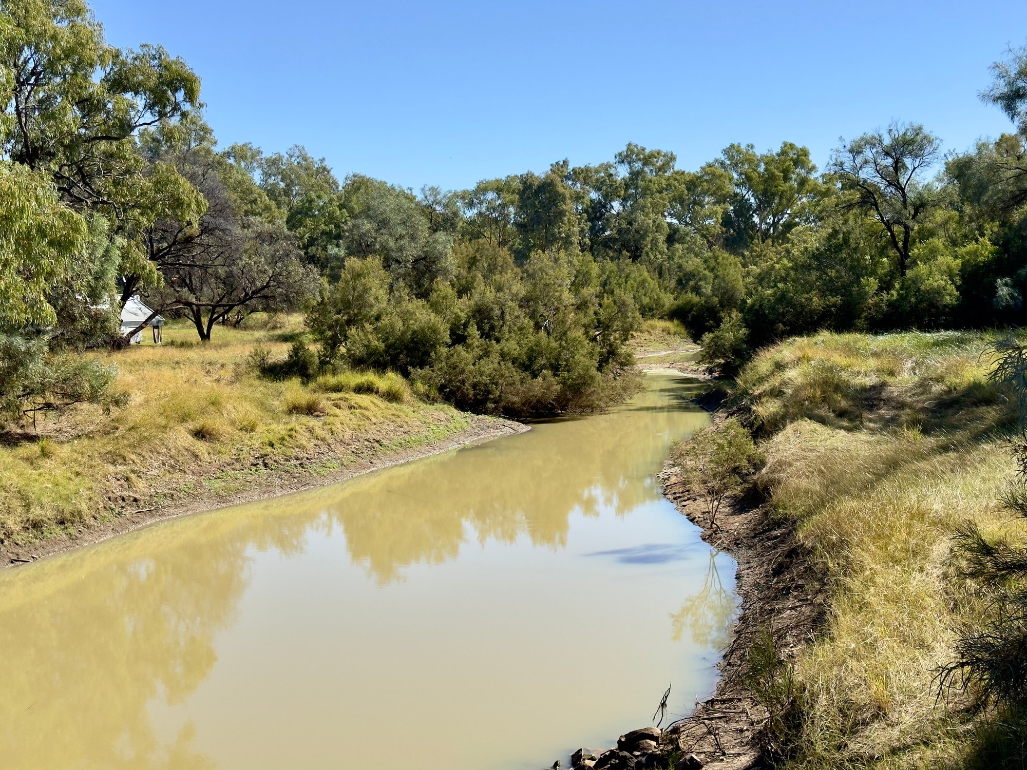
Barcoo River
- Boat Ramps
- 0
- Access Points
- 0
- Campsites
- 7
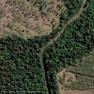
The Barcoo River rises on the northern slopes of the Warrego Range east of Tambo in Central Queensland, flowing in a south-westerly direction through the outback before uniting with the Thomson River north of Windorah to form Cooper Creek, which ultimately drains toward Lake Eyre in central Australia. The river passes through the towns of Tambo, Blackall, Isisford, and Retreat, and forms the southern boundary of Welford National Park. The Isisford Weir has been constructed on the river, and paddling has been recorded at the Oma waterhole near Isisford, where the backed-up water creates a manageable paddling environment in an otherwise intermittent river system.
The Barcoo is part of the Lake Eyre Basin, a system of largely ephemeral rivers that flow only after significant rainfall. Water levels are highly variable and dependent on rainfall events; the river can be in flood following rain or reduced to isolated waterholes during dry periods. Paddlers should plan trips around rainfall patterns and be aware that access to flowing water is not guaranteed. The weir at Isisford and similar structures on nearby rivers in the region create permanent or semi-permanent water that makes paddling more predictable.
The landscape through which the Barcoo flows is classic Queensland outback — flat, sparsely vegetated cattle and sheep country with river red gum and coolibah trees lining the banks. The river holds considerable historical and cultural significance: it marks a traditional boundary between the more settled outback and the "Far Outback," and features prominently in Australian bush literature and legend. The area around Windorah, where Cooper Creek forms nearby, is noted for free camping, fishing for yellowbelly, and boating or canoeing. Wildlife in the region includes emus and numerous native bird species.
Facilities are minimal and distances between towns are substantial — Windorah, for example, has a population of around 115 people. Paddlers should be self-sufficient and carry adequate supplies. The remote character of the river demands careful preparation, particularly regarding water, fuel, and communications. The broader region is best approached as a destination for experienced paddlers comfortable with outback travel conditions.
Water access, boat ramps & amenities
Learn how to get on Barcoo River. Uncover great paddling access points, boat ramps, and all the facilities you need for an unforgettable day on the water. Some locations shown may border or include private property. Always check property boundaries and applicable regulations before visiting. PaddleWays's Public & Private Land layer can help you plan your access with confidence.
Paddle smarter with real-time insights
Whether you're en route and conditions shift or you're looking for the best spot based on current flows, we enable you to make informed decisions on the fly.







Queensland licenses and regulations

Find Places to Paddle

Over 400,000 Places to Paddle
Every user gets free access to launch points, boat ramps, and public property parcels.


Water and weather conditions (10 day forecast)
See the best times to paddle Barcoo River and check the forecast before you go.
Barcoo River At Retreat
All Flow Stations
Paddling near Barcoo River
Pioneer River
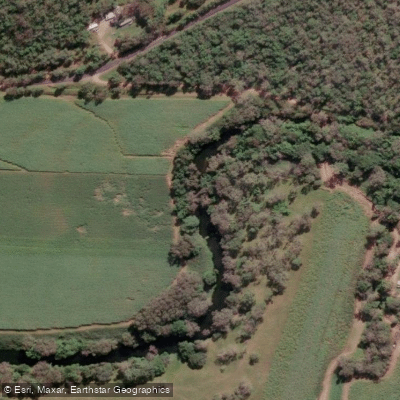
Constant Creek
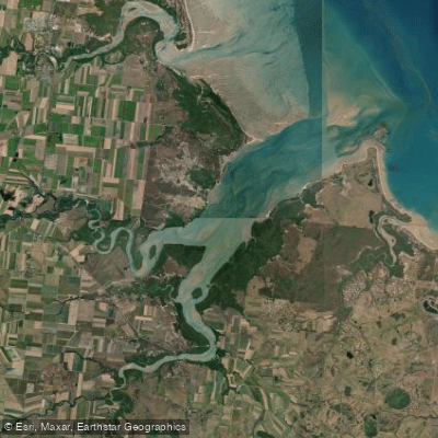
Sandy Creek
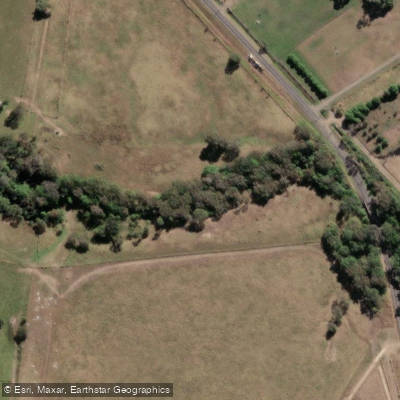
Cabbage Tree Creek
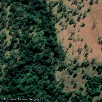
Prospect Creek
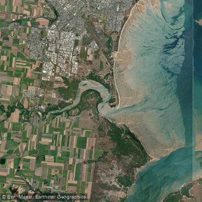
Bakers Creek
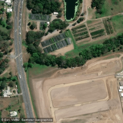
McCreadys Creek
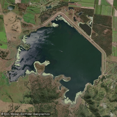
Lake Kinchant
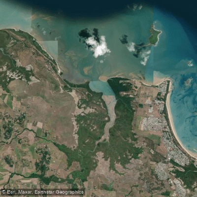
Reliance/Leila Creek
Rocky Dam Creek
Explore Queensland waters
Top paddling waters
No waters available right now.
Popular Cities
Loading popular cities...
Explore near Barcoo River
Access points
Nearby waters
More in Queensland

Smarter Paddling Starts in the App.
Paddleways gives you everything you need to plan smarter, paddle better, and own every trip from first launch to takeout.