Repulse Creek
- Saltwater
- Estuary
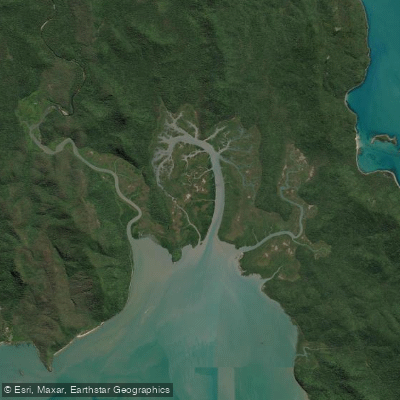
Repulse Creek
- Saltwater
- Estuary
- Sq. miles
- 8
- Boat Ramps
- 0
- Access Points
- 0
- Campsites
- 0
Repulse Creek is a tidal estuary within Conway National Park in the Whitsunday Region, offering a paddling experience through coastal mangroves and rainforest. The primary access for paddlers is via Swamp Bay, which is accessible by kayak. This suggests a launch from the Swamp Bay area into the coastal waters that lead into the creek's mouth, with the creek itself being a less saline, upstream environment influenced by freshwater drainage. Paddling here is entirely dependent on tides and weather conditions, requiring careful planning. The coastal waters are part of the Great Barrier Reef Marine Park, and paddlers must be aware of marine park zoning regulations. The area is known as Croc Country, with estuarine crocodiles inhabiting the coastal waters, and marine stingers are also a noted hazard, necessitating constant vigilance. There is no mention of formal boat ramps or dedicated paddler facilities at the creek; the Swamp Bay camping area has no facilities, requiring paddlers to be fully self-sufficient. The aesthetic is one of a secluded, natural coastline backed by ancient rainforest, with the creek creating a transition zone from marine to freshwater-influenced habitats. The recommended activity is exploration of Conway's bays by kayak, with the implication that trips are best undertaken by experienced paddlers comfortable with remote conditions, tidal navigation, and significant wildlife hazards. Camping is possible at the Swamp Bay site for multi-day trips, but it is hike-in or kayak-in only, with no fires permitted and all waste must be carried out.
Water access, boat ramps & amenities
Learn how to get on Repulse Creek. Uncover great paddling access points, boat ramps, and all the facilities you need for an unforgettable day on the water. Some locations shown may border or include private property. Always check property boundaries and applicable regulations before visiting. PaddleWays's Public & Private Land layer can help you plan your access with confidence.
Paddle smarter with real-time insights
Whether you're en route and conditions shift or you're looking for the best spot based on current flows, we enable you to make informed decisions on the fly.







Queensland licenses and regulations

Find Places to Paddle

Over 400,000 Places to Paddle
Every user gets free access to launch points, boat ramps, and public property parcels.


Tides, wind & water conditions (10 day forecast)
On open water, wind and tide matter as much as the weather. See the best times to paddle Repulse Creek and check the marine forecast before you launch.
Loading tide predictions…
Paddling near Repulse Creek
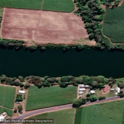
Pioneer River
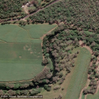
Constant Creek
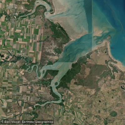
Sandy Creek
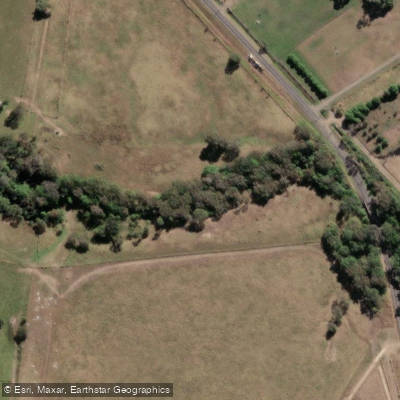
Cabbage Tree Creek
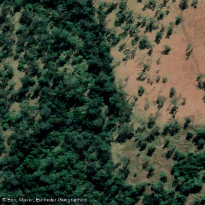
Prospect Creek
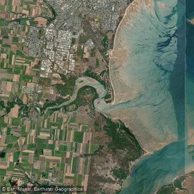
Bakers Creek
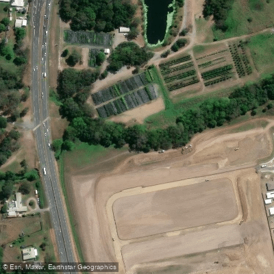
McCreadys Creek
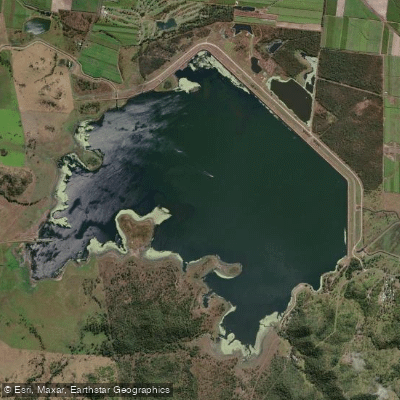
Lake Kinchant
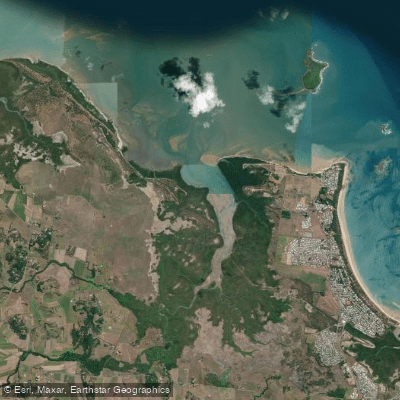
Reliance/Leila Creek
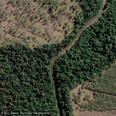
Rocky Dam Creek
Explore Queensland waters
Top paddling waters
No waters available right now.
Popular Cities
Loading popular cities...
Explore near Repulse Creek

Smarter Paddling Starts in the App.
Paddleways gives you everything you need to plan smarter, paddle better, and own every trip from first launch to takeout.