Donington Beach
- Saltwater
- Beach
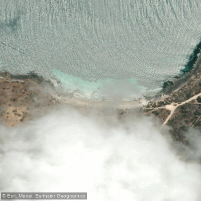
Donington Beach
- Saltwater
- Beach
- Sq. miles
- 0.1
- Boat Ramps
- 0
- Access Points
- 0
- Campsites
- 0
Donington Beach is located within Lincoln National Park on the Eyre Peninsula, approximately 40 kilometers from Port Lincoln. The beach lies below Cape Donington Lighthouse, which marks the park's northeastern tip and is reachable via a gravel road suitable for two-wheel drive vehicles. A day visitor area and a path provide public access to the beach, which is typically empty and uncrowded. The beach faces the open Southern Ocean, resulting in genuine ocean swell and significant exposure to the elements. This exposure creates a wild and remote character, with the coastline featuring untouched beaches and rugged headlands. The water is part of the Lincoln National Park and a Wilderness Protection Area, emphasizing its pristine and natural state. The area is known for wildlife, with the offshore waters around Donington Island offering a chance to spot marine life such as dolphins and seals, though binoculars are recommended due to the distances involved. For paddlers, this exposure means conditions can be challenging, with Southern Ocean swell rolling in. It is critical to assess wind and wave conditions honestly before committing to a paddle, as the area is remote and services are limited. There are no specific facilities for paddlers mentioned at the beach itself, though a new campground is planned for the area. Nearby, Surfleet Cove on the sheltered Proper Bay side offers calmer, usually flat water and is the easiest swimming spot in the park, accessible via a 2.4 km coastal walking path from Spalding Cove. This cove could serve as a more protected alternative launch or destination for paddlers seeking milder conditions. The park's southern coastline, including the long stretch to Taylor's Landing, features untouched beaches with significant swell, suitable only for experienced paddlers prepared for remote, exposed conditions. Water temperatures in this region follow typical Southern Ocean patterns, being cool to cold year-round, with the warmest conditions likely in late summer. There are no stated restrictions specific to paddling, but general park regulations and Wilderness Protection Area rules apply.
Water access, boat ramps & amenities
Learn how to get on Donington Beach. Uncover great paddling access points, boat ramps, and all the facilities you need for an unforgettable day on the water. Some locations shown may border or include private property. Always check property boundaries and applicable regulations before visiting. PaddleWays's Public & Private Land layer can help you plan your access with confidence.
Paddle smarter with real-time insights
Whether you're en route and conditions shift or you're looking for the best spot based on current flows, we enable you to make informed decisions on the fly.







South Australia licenses and regulations

Find Places to Paddle

Over 400,000 Places to Paddle
Every user gets free access to launch points, boat ramps, and public property parcels.


Tides, wind & water conditions (10 day forecast)
On open water, wind and tide matter as much as the weather. See the best times to paddle Donington Beach and check the marine forecast before you launch.
Loading tide predictions…
Paddling near Donington Beach
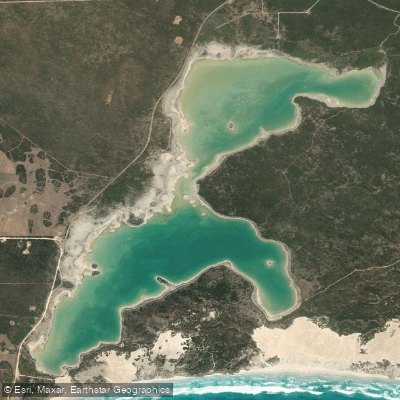
Sleaford Mere
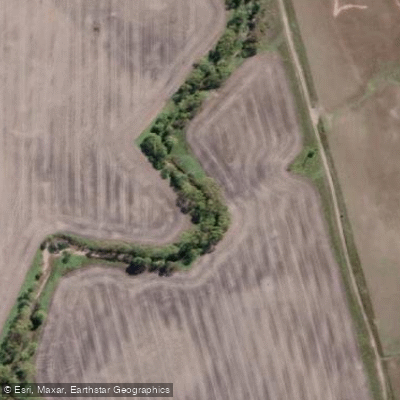
Minniribbie Creek
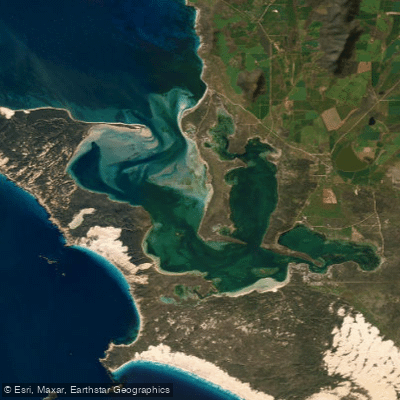
Port Douglas/Coffin Bay
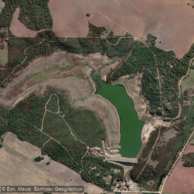
Tod Reservoir
Salt Creek
Shelly Beach
Salt Creek
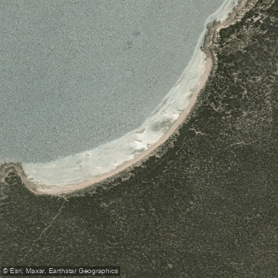
Woodcutters Beach
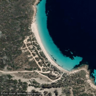
September Beach
Explore South Australia waters
Top paddling waters
No waters available right now.
Popular Cities
Loading popular cities...
Explore near Donington Beach

Smarter Paddling Starts in the App.
Paddleways gives you everything you need to plan smarter, paddle better, and own every trip from first launch to takeout.