Northern Spencer Gulf
- Saltwater
- Estuary
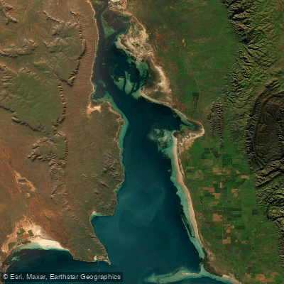
Northern Spencer Gulf
- Saltwater
- Estuary
- Sq. miles
- 260
- Boat Ramps
- 6
- Access Points
- 0
- Campsites
- 5
The Northern Spencer Gulf is a large, sheltered marine estuary forming the upper section of Spencer Gulf in South Australia. It is an inverse estuary, which influences its tidal and salinity dynamics. The water body falls within the Upper Spencer Gulf Marine Park, spanning the coastal waters from Port Pirie to Whyalla. This designation indicates specific sanctuary zones and regulations that paddlers must consult before launching. The general character for paddlers is one of a broad, open coastal waterway with sheltered habitats, though exposure to wind and fetch can be significant given its size. A major natural attraction is the unique annual aggregation of Giant Australian cuttlefish off the coast of Whyalla, particularly around Point Lowly and Stony Point. This congregation, which peaks in June and July, is a globally significant event where these large, color-changing cephalopods gather in predictable numbers for breeding, offering a remarkable underwater spectacle visible from the surface. The rocky seabeds in these areas provide critical habitat. The region has industrial significance, and paddlers should be aware of associated boat traffic. Paddlers should obtain current marine park zoning maps to identify legal launch sites, sanctuary zones where activities may be restricted, and to understand any seasonal protections related to the cuttlefish breeding aggregation.
Water access, boat ramps & amenities
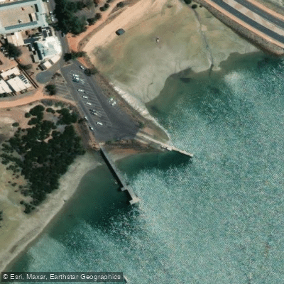
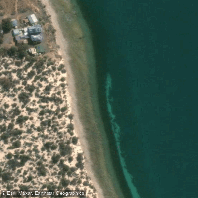
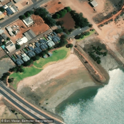
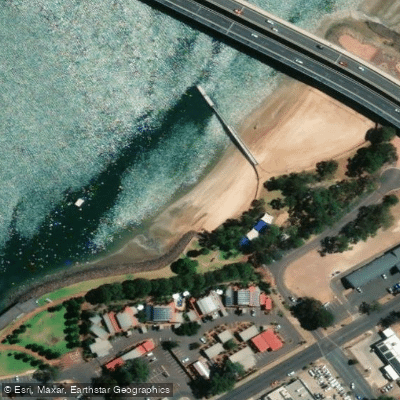
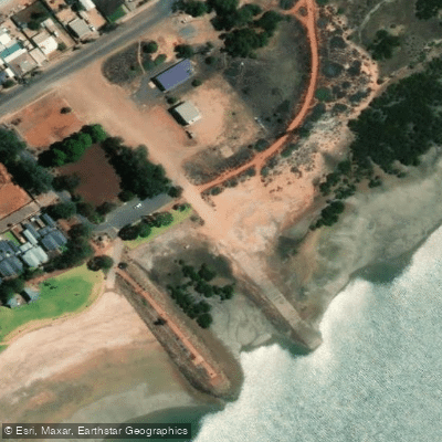
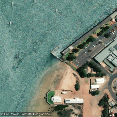
Learn how to get on Northern Spencer Gulf. Uncover great paddling access points, boat ramps, and all the facilities you need for an unforgettable day on the water. Some locations shown may border or include private property. Always check property boundaries and applicable regulations before visiting. PaddleWays's Public & Private Land layer can help you plan your access with confidence.
Paddle smarter with real-time insights
Whether you're en route and conditions shift or you're looking for the best spot based on current flows, we enable you to make informed decisions on the fly.







South Australia licenses and regulations

Find Places to Paddle

Over 400,000 Places to Paddle
Every user gets free access to launch points, boat ramps, and public property parcels.


Tides, wind & water conditions (10 day forecast)
On open water, wind and tide matter as much as the weather. See the best times to paddle Northern Spencer Gulf and check the marine forecast before you launch.
Loading tide predictions…
Paddling near Northern Spencer Gulf
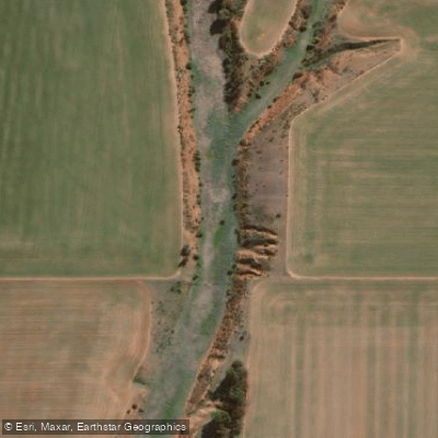
Pine Creek
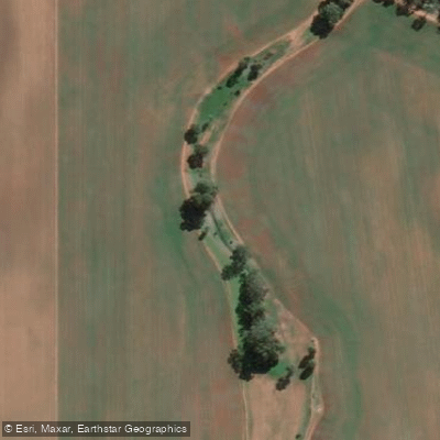
Rocky River Creek
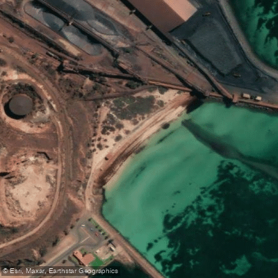
New Beach
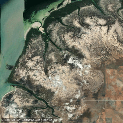
Fisherman Creek
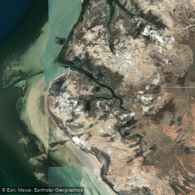
Port Davis Creek/Broughton River Estuary
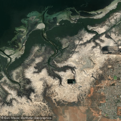
Second Creek
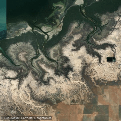
Third Creek
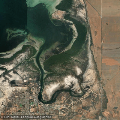
Port Pirie
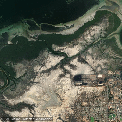
First Creek
Explore South Australia waters
Top paddling waters
No waters available right now.
Popular Cities
Loading popular cities...
Explore near Northern Spencer Gulf
Access points
- Augusta West Boat Ramp
- Point Lowly
- Pt. Augusta, adj old bridge
- Pt. Augusta, E side new bridge
- Pt. Augusta, N side old bridge
- Pt. Augusta, S end of wharf
- Fitzgerald Bay Bushcamp
- Fitzgerald Bay Bush Camp
- Fitzgerald Bay Bush Camp - Native Myrtle Retreat - No Facilities
- Fitzgerald Bay Bush Camp - Native Myrtle Retreat - Toilets/Water
- Point Lowly
Nearby waters
More in South Australia

Smarter Paddling Starts in the App.
Paddleways gives you everything you need to plan smarter, paddle better, and own every trip from first launch to takeout.