Port Davis Creek/Broughton River Estuary
- Saltwater
- Estuary
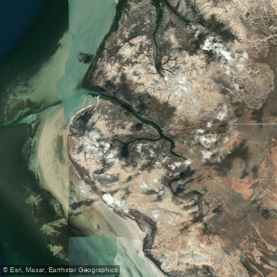
Port Davis Creek/Broughton River Estuary
- Saltwater
- Estuary
- Sq. miles
- 12
- Boat Ramps
- 2
- Access Points
- 0
- Campsites
- 0
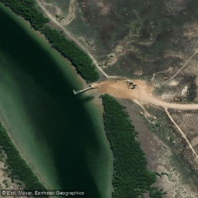
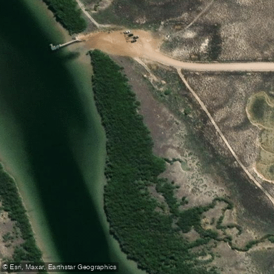
The Port Davis Creek/Broughton River Estuary is a coastal waterway accessible via the recently refurbished Port Davis Boat Ramp. This facility provides a primary launch and take-out point for paddlers, featuring a two-lane concrete boat ramp and a pontoon system. The estuary's character is defined by its tidal nature, requiring paddlers to plan around the significant tidal range and currents typical of South Australian gulf waters. Paddling with the incoming tide is advisable for easier travel upstream into the creek systems, while the outgoing tide can assist with a return journey towards the open waters of the Spencer Gulf. The exposed location at the ramp means wind and wave fetch from the gulf can create choppy conditions, especially with prevailing southerly or northerly winds, so checking forecasts is essential. The presence of a formal boat ramp indicates this is a hub for powerboat traffic; paddlers must remain vigilant, particularly when crossing the main channel or near the ramp itself. The area lacks detailed information on specific routes, seasonal water temperatures, water quality, or notable wildlife sightings, so a cautious, self-sufficient approach is necessary. The completion of the ramp upgrade suggests local council support for marine recreation, but paddlers should be prepared for limited other amenities directly at the site.
Water access, boat ramps & amenities
Learn how to get on Port Davis Creek/Broughton River Estuary. Uncover great paddling access points, boat ramps, and all the facilities you need for an unforgettable day on the water. Some locations shown may border or include private property. Always check property boundaries and applicable regulations before visiting. PaddleWays's Public & Private Land layer can help you plan your access with confidence.
Paddle smarter with real-time insights
Whether you're en route and conditions shift or you're looking for the best spot based on current flows, we enable you to make informed decisions on the fly.







South Australia licenses and regulations

Find Places to Paddle

Over 400,000 Places to Paddle
Every user gets free access to launch points, boat ramps, and public property parcels.


Tides, wind & water conditions (10 day forecast)
On open water, wind and tide matter as much as the weather. See the best times to paddle Port Davis Creek/Broughton River Estuary and check the marine forecast before you launch.
Loading tide predictions…
Paddling near Port Davis Creek/Broughton River Estuary
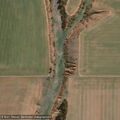
Pine Creek
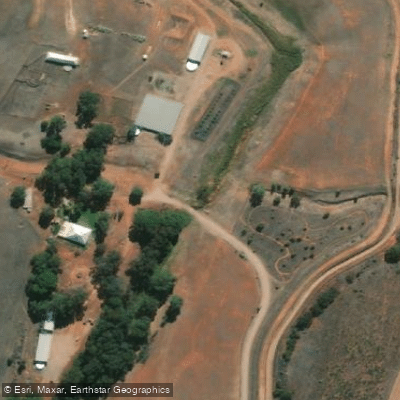
Bundaleer Creek
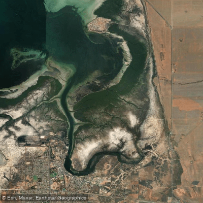
Port Pirie
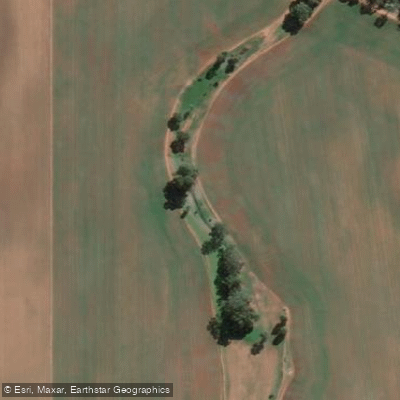
Rocky River Creek
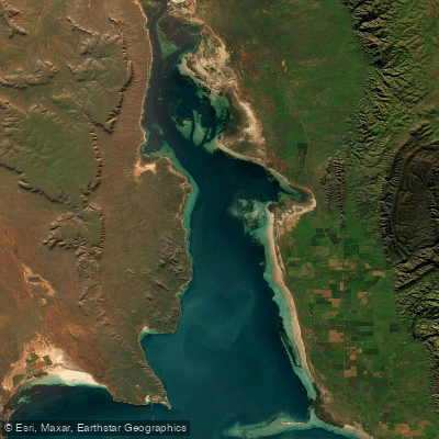
Northern Spencer Gulf
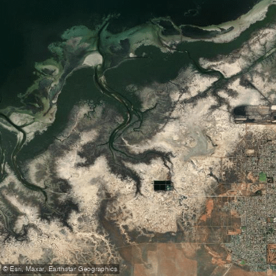
Second Creek
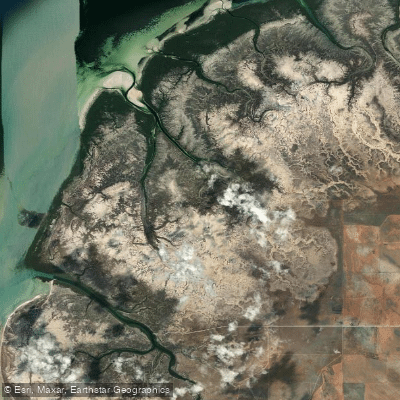
Fisherman Creek
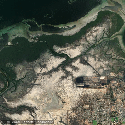
First Creek
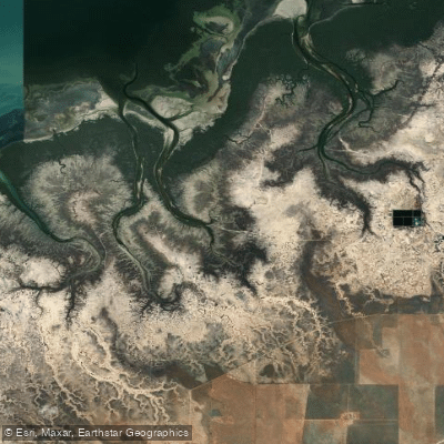
Third Creek
Explore South Australia waters
Top paddling waters
No waters available right now.
Popular Cities
Loading popular cities...
Explore near Port Davis Creek/Broughton River Estuary
Access points
Nearby waters
More in South Australia

Smarter Paddling Starts in the App.
Paddleways gives you everything you need to plan smarter, paddle better, and own every trip from first launch to takeout.