Glenelg River
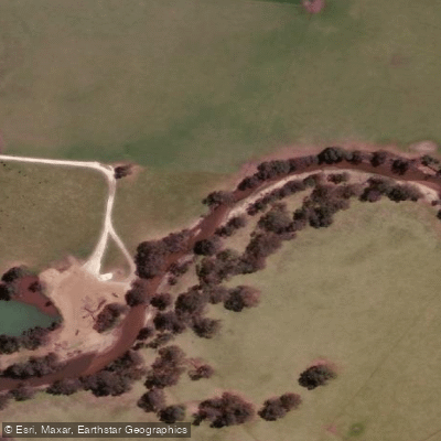
Glenelg River
- Boat Ramps
- 11
- Access Points
- 0
- Campsites
- 30
The Glenelg River in south-west Victoria offers 75 kilometres of flatwater paddling between Dartmoor and Nelson, running through the Lower Glenelg National Park near the South Australian border. The park, established in 1968, covers 21,300 hectares and protects the lower reaches of the river, including a series of limestone gorges formed 25 to 40 million years ago when the region was submerged beneath a shallow sea. The river carries essentially no current, as noted by paddlers who found that even after heavy rain the water remained still.
The standard multi-day trip runs from Dartmoor downstream to Nelson, a journey most paddlers complete in three to five days. Seven campsites are reserved exclusively for canoeists and kayakers, with a limit of 20 campers per site; advance booking is required through Parks Victoria. Access points include Dartmoor, Winnap, and Nelson, and canoe and kayak hire is available at all three locations, with many operators offering drop-off and pick-up services at various points along the river. Shorter day trips are also possible, particularly from Nelson toward the river mouth. Several landings along the route have small jetties or boat ramps, including Wilson Hall, Sapling Creek, Red Gum Landing, Forest Camp North, and McLennan's Punt.
Autumn is noted as a particularly good time to paddle, with mild temperatures and calm water. The park falls within the South West fire district, and campfires are prohibited on Total Fire Ban days, though gas cookers remain permitted. Paddlers should check fire danger ratings before and during any trip via the Vic Emergency App or by calling 1800 226 226.
Wildlife is abundant along the river corridor, and wallabies are commonly seen from the water's edge. The limestone gorge scenery is the defining visual feature of the route. The park is approximately 420 kilometres from Melbourne (roughly a four-to-five-hour drive) and 490 kilometres from Adelaide.
Water access, boat ramps & amenities
Learn how to get on Glenelg River. Uncover great paddling access points, boat ramps, and all the facilities you need for an unforgettable day on the water. Some locations shown may border or include private property. Always check property boundaries and applicable regulations before visiting. PaddleWays's Public & Private Land layer can help you plan your access with confidence.
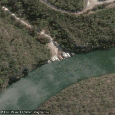
Dry Creek
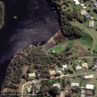
Glenelg River - Isle Of Bags Ramp
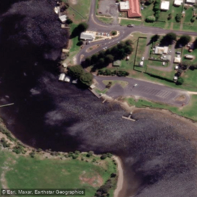
Glenelg River - Kellett St Ramp
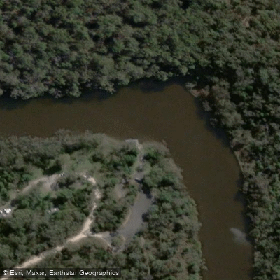
Glenelg River - Prichards Landing Ramp
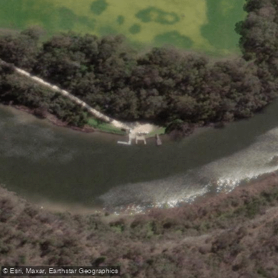
Glenelg River - Sandy Waterholes Trk Ramp
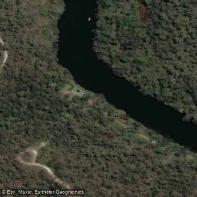
Glenelg River - Saunders Trk Ramp
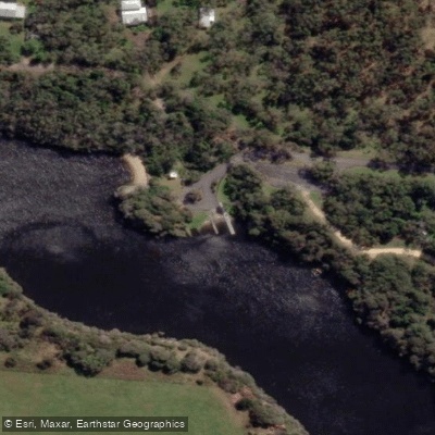
Glenelg River - Simsons Landing Rd (Waterski club) Ramp
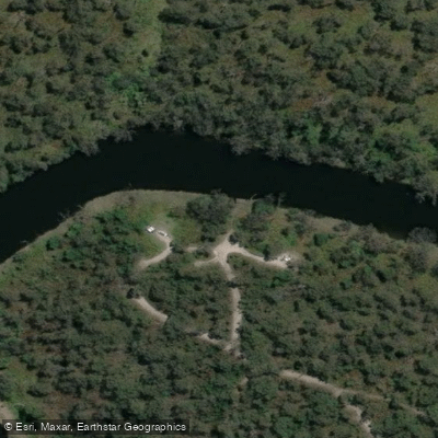
Glenelg River - Wild Dog Bend Trk Ramp
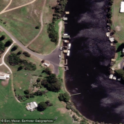
Mceacherns Landing
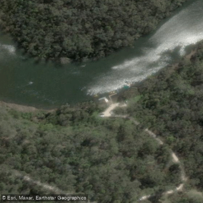
Sapling Creek Boatramp
Paddle smarter with real-time insights
Whether you're en route and conditions shift or you're looking for the best spot based on current flows, we enable you to make informed decisions on the fly.








Find Places to Paddle

Over 400,000 Places to Paddle
Every user gets free access to launch points, boat ramps, and public property parcels.


Water and weather conditions (10 day forecast)
See the best times to paddle Glenelg River and check the forecast before you go.
Glenelg River @ Sandford
All Flow Stations
Paddling near Glenelg River
Fitzroy River
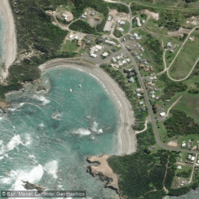
Bucks Bay Beach
Moleside Creek
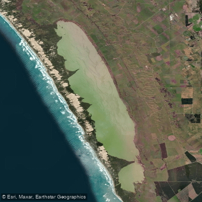
Lake Bonney S.E
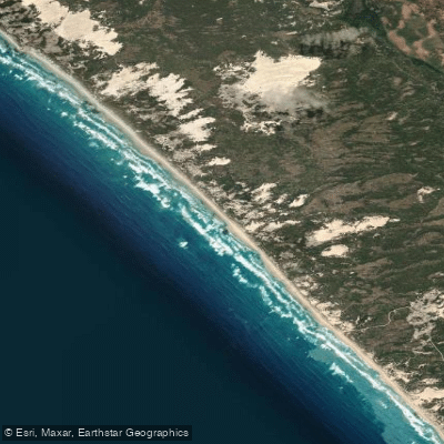
Geltwood Beach
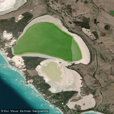
Lake George
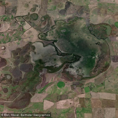
Bool Lagoon
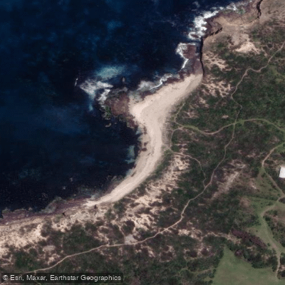
Whites
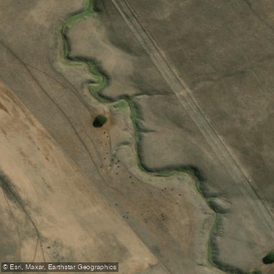
Boggy Creek
Explore Victoria waters
Top paddling waters
No waters available right now.
Popular Cities
Loading popular cities...
Explore near Glenelg River
Access points
- Dry Creek
- Glenelg River - Isle Of Bags Ramp
- Glenelg River - Kellett St Ramp
- Glenelg River - Prichards Landing Ramp
- Glenelg River - Sandy Waterholes Trk Ramp
- Glenelg River - Saunders Trk Ramp
- Glenelg River - Simsons Landing Rd (Waterski club) Ramp
- Glenelg River - Wild Dog Bend Trk Ramp
- Mceacherns Landing
- Sapling Creek Boatramp
- Wilson Hall Boatramp
- 19 Camp sites & Van Sites at PMR Cave
- All 41 spots
Nearby waters
More in Victoria

Smarter Paddling Starts in the App.
Paddleways gives you everything you need to plan smarter, paddle better, and own every trip from first launch to takeout.