Thompson Creek
- Saltwater
- Estuary
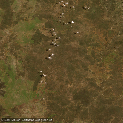
Thompson Creek
- Saltwater
- Estuary
- Sq. miles
- 6.6
- Boat Ramps
- 0
- Access Points
- 0
- Campsites
- 0
Thompson Creek is a coastal estuary located in the Surf Coast Shire of Victoria, Australia. The creek flows through a wetland environment before reaching the ocean, and its estuary condition is actively managed to remain open for water exchange. Key access points include Dans Nature Reserve, which is explicitly noted as a location to launch a canoe, and Rice Nature Reserve, located alongside the creek at 750 Horseshoe Bend Road in Mount Duneed. Rice Nature Reserve offers picnic tables and views of the water, making it a potential start or end point for a trip. The area is characterized by quieter riverside walks and is attractive for wildlife spotting, particularly within protected bird habitats along the wetlands. The surrounding reserves host many waterbirds and other wildlife, including ducklings, swamphens, and snakes such as Eastern Browns and Lowland Copperheads, which are regularly seen. The aesthetic is of a natural wetland creek, with pockets of remnant vegetation including Bellarine Yellow Gums noted in the broader area. The water body's character is quiet and suited for a peaceful paddle focused on nature observation. As a tidal estuary, paddlers must plan their trips around tidal currents, with optimal conditions likely occurring on a rising tide to assist with flushing and navigation. Wind exposure can be significant given the open wetland and coastal proximity, and paddlers should be prepared for potential boat traffic where the creek meets larger coastal waters. No specific regulations prohibiting paddling were identified, but care should be taken to avoid disturbing ground-nesting birds and wildlife, and dogs should be controlled to protect young animals. Seasonal water temperatures follow typical Southern Victorian coastal patterns, being coolest in winter and mild in summer. Water quality is influenced by tidal flushing and catchment conditions, with management actions sometimes focused on improving estuary health.
Water access, boat ramps & amenities
Learn how to get on Thompson Creek. Uncover great paddling access points, boat ramps, and all the facilities you need for an unforgettable day on the water. Some locations shown may border or include private property. Always check property boundaries and applicable regulations before visiting. PaddleWays's Public & Private Land layer can help you plan your access with confidence.
Paddle smarter with real-time insights
Whether you're en route and conditions shift or you're looking for the best spot based on current flows, we enable you to make informed decisions on the fly.








Find Places to Paddle

Over 400,000 Places to Paddle
Every user gets free access to launch points, boat ramps, and public property parcels.


Tides, wind & water conditions (10 day forecast)
On open water, wind and tide matter as much as the weather. See the best times to paddle Thompson Creek and check the marine forecast before you launch.
Loading tide predictions…
Paddling near Thompson Creek
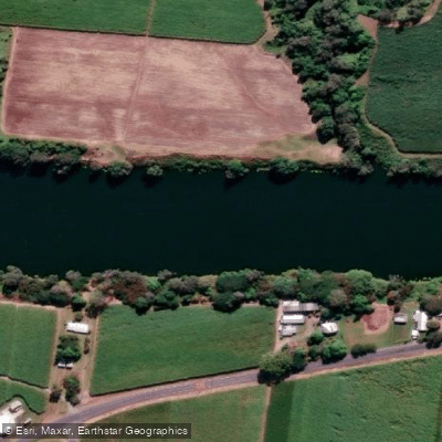
Pioneer River
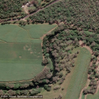
Constant Creek
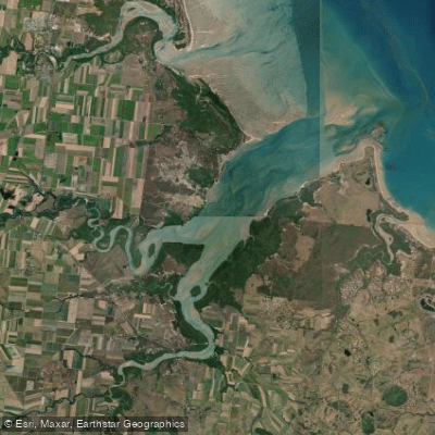
Sandy Creek
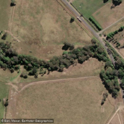
Cabbage Tree Creek
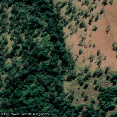
Prospect Creek
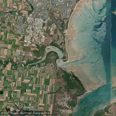
Bakers Creek
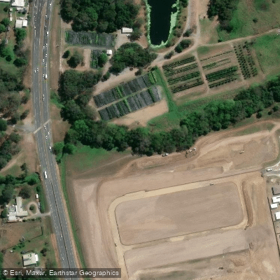
McCreadys Creek
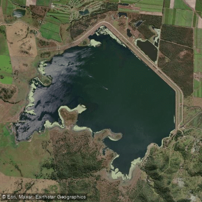
Lake Kinchant
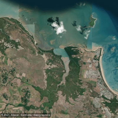
Reliance/Leila Creek
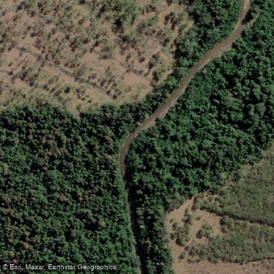
Rocky Dam Creek
Explore Victoria waters
Top paddling waters
No waters available right now.
Popular Cities
Loading popular cities...
Explore near Thompson Creek

Smarter Paddling Starts in the App.
Paddleways gives you everything you need to plan smarter, paddle better, and own every trip from first launch to takeout.