40 Mile Beach
- Saltwater
- Beach
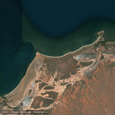
40 Mile Beach
- Saltwater
- Beach
- Sq. miles
- 0.1
- Boat Ramps
- 0
- Access Points
- 0
- Campsites
- 1
40 Mile Beach, also known as Gnoorea Point, is a coastal camping and recreation area located approximately 56 kilometers south of Karratha in Western Australia's Pilbara region. The primary access for paddlers is via a natural boat ramp at the beach, which is one of only two viable boat launch points between Dampier and Onslow and is accessible by standard two-wheel-drive vehicles. The area is a natural, undeveloped coastal site with no drinking water available; facilities are limited to public toilets for day users and sullage disposal points. The overall character is one of a remote, wilderness coastline that offers a sense of quiet and space in a region otherwise dominated by industry, serving as a popular camping destination for families and recreational users.
The beach provides protection for those in the water, suggesting generally tranquil conditions within the bay, though paddlers should be mindful of exposure to open ocean winds and weather. The coastline features numerous separate campsites spread along the shore. A significant consideration for trip planning is the presence of a proposed large-scale solar salt farm development, which, if approved, could alter the landscape and experience of the area through the construction of evaporation ponds and infrastructure. The area is valued for its social and cultural significance to the local community. For wildlife, turtles are often sighted in nearby Cleaverville, indicating potential for marine life observations along this coast. Camping is permitted with a paid booking required during the peak season from May 1 to September 30, with a maximum stay of 28 days; no fee applies from October to April but a three-night limit per 28 days is enforced. Dogs are permitted at the campgrounds under controlled conditions, such as on a leash.
Water access, boat ramps & amenities
Learn how to get on 40 Mile Beach. Uncover great paddling access points, boat ramps, and all the facilities you need for an unforgettable day on the water. Some locations shown may border or include private property. Always check property boundaries and applicable regulations before visiting. PaddleWays's Public & Private Land layer can help you plan your access with confidence.
Paddle smarter with real-time insights
Whether you're en route and conditions shift or you're looking for the best spot based on current flows, we enable you to make informed decisions on the fly.







Western Australia licenses and regulations

Find Places to Paddle

Over 400,000 Places to Paddle
Every user gets free access to launch points, boat ramps, and public property parcels.


Tides, wind & water conditions (10 day forecast)
On open water, wind and tide matter as much as the weather. See the best times to paddle 40 Mile Beach and check the marine forecast before you launch.
Loading tide predictions…
Paddling near 40 Mile Beach
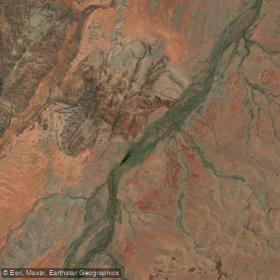
Devil Creek
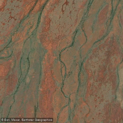
George River
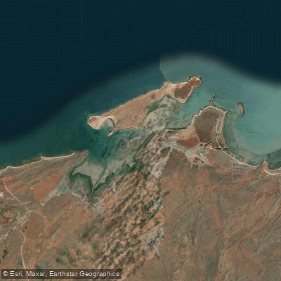
Port Robinson
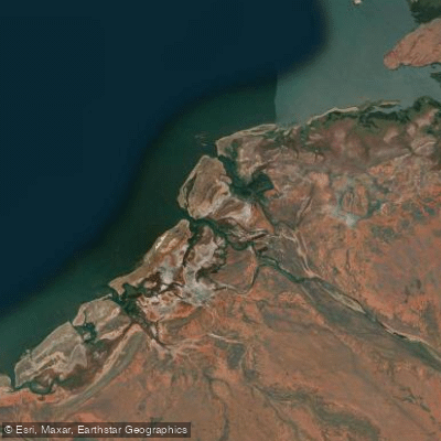
Maitland River
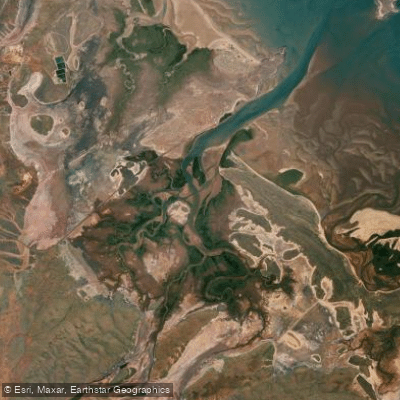
Harding River
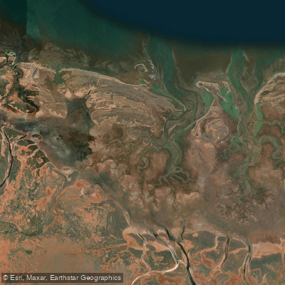
Jones River
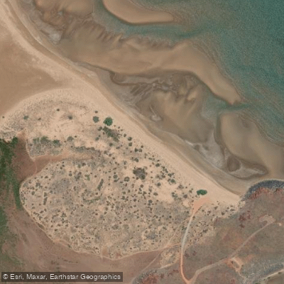
Settlers Beach
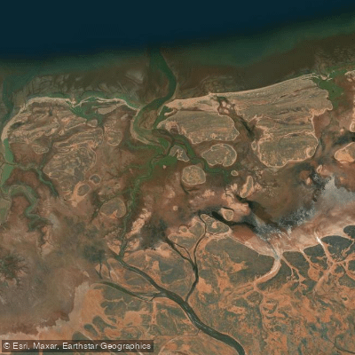
Little Sherlock River
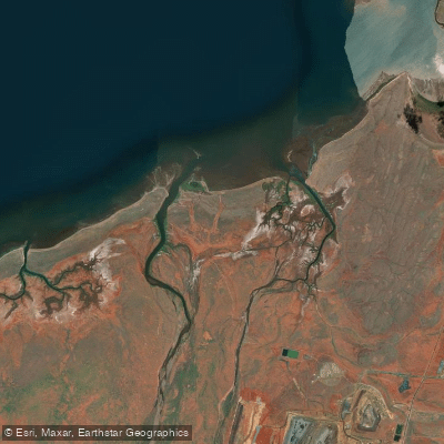
Fortescue River
Explore Western Australia waters
Top paddling waters
No waters available right now.
Popular Cities
Loading popular cities...
Explore near 40 Mile Beach
Access points
Nearby waters
More in Western Australia

Smarter Paddling Starts in the App.
Paddleways gives you everything you need to plan smarter, paddle better, and own every trip from first launch to takeout.