Igarapé Salva-Terra
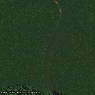
Igarapé Salva-Terra
- Boat Ramps
- 0
- Access Points
- 0
- Campsites
- 0
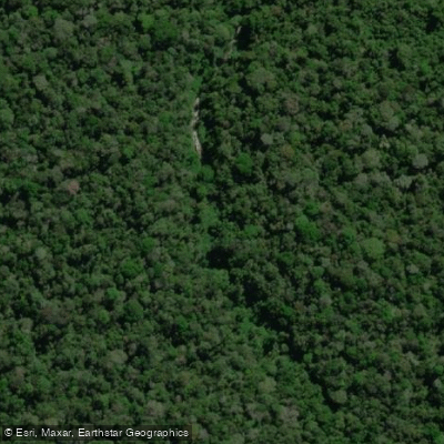
Igarapé Salva-Terra is a stream located in the municipality of Manicoré, within the state of Amazonas, Brazil. Its geographical coordinates are approximately 5.97664 degrees south latitude and 60 degrees west longitude, placing it in the heart of the Amazon region. As an igarapé, which is a type of small river or creek common in the Amazon Basin, it is characterized by its winding, forest-lined channel typical of the area's dense tropical rainforest. The stream flows through remote and largely undeveloped terrain, offering a paddling experience defined by immersion in a pristine natural environment. The surrounding landscape is dominated by the Amazon rainforest, providing a setting of significant biodiversity. Paddlers can expect a quiet, isolated journey with the potential to observe local flora and fauna native to this part of northern Brazil. Access points and specific facilities for paddlers are not detailed. The lack of reported hazards or regulations suggests a natural watercourse with minimal human infrastructure or management. The experience is inherently seasonal, tied to the Amazon's wet and dry cycles, which dramatically affect water levels, flow rates, and accessibility. Planning a trip requires careful consideration of these seasonal patterns, as well as complete self-sufficiency, given the absence of nearby amenities.
Water access, boat ramps & amenities
Learn how to get on Igarapé Salva-Terra. Uncover great paddling access points, boat ramps, and all the facilities you need for an unforgettable day on the water. Some locations shown may border or include private property. Always check property boundaries and applicable regulations before visiting. PaddleWays's Public & Private Land layer can help you plan your access with confidence.
Paddle smarter with real-time insights
Whether you're en route and conditions shift or you're looking for the best spot based on current flows, we enable you to make informed decisions on the fly.







Amazonas licenses and regulations
No licenses or regulations available for Amazonas.
Find Places to Paddle

Over 400,000 Places to Paddle
Every user gets free access to launch points, boat ramps, and public property parcels.


Water and weather conditions (10 day forecast)
See the best times to paddle Igarapé Salva-Terra and check the forecast before you go.
No forecast data available.
Explore Amazonas waters
Top paddling waters
No waters available right now.
Popular Cities
Loading popular cities...
Explore near Igarapé Salva-Terra
More in Amazonas

Smarter Paddling Starts in the App.
Paddleways gives you everything you need to plan smarter, paddle better, and own every trip from first launch to takeout.