Paddling in Amazonas
- Lakes
- 479
- Rivers
- 3,525
- Access
- 9
- Boat Ramps
- 1
- Shops
- 0
Amazonas is Brazil's largest state — larger than Western Europe — and it is almost entirely defined by water. The rivers here aren't features of the landscape; they are the landscape.
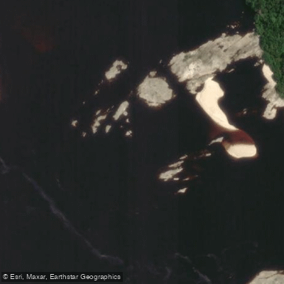
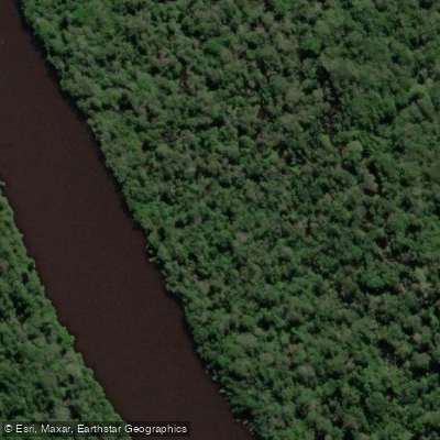
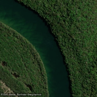
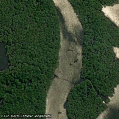
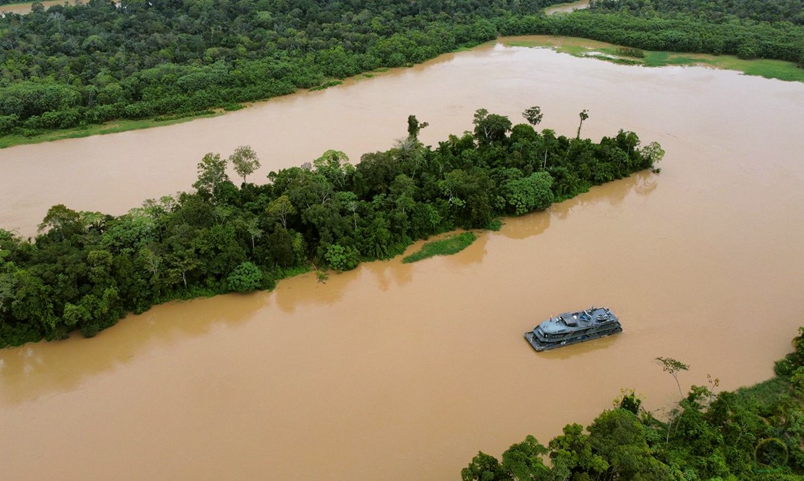
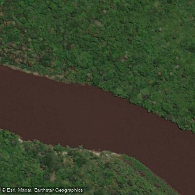
Blackwater tributaries fan out through rainforest so dense that the rivers are often the only corridors that exist.
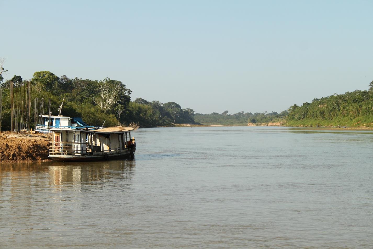
This is flatwater country, overwhelmingly: wide, slow, brown or ink-black channels moving through forest at a pace that rewards patience over power.
Manaus sits at the center of it all, where the dark Rio Negro meets the pale, sediment-heavy Rio Solimões to form the Amazon proper.
Both rivers are kilometers wide, and the main channels are working waterways — barge traffic, ferry wakes, and storm-driven waves that can turn a crossing dangerous fast.
Most guided paddling operations deliberately push well away from Manaus before putting in. The Rio Urubu, about 100 kilometers from the city, and the stretch running through Presidente Figueiredo are where a lot of organized kayak trips actually happen.
The Presidente Figueiredo corridor — paddled downriver toward the village of Lindoia — puts you on moving water with no roads, no electricity, and days without seeing another group. Four to six hours on the water daily is a reasonable pace.
The Rio Jauaperi, reached by a longer overland haul, offers a more remote version of the same experience. Water levels shape everything here.
Between February and September the rivers are generally navigable, but April and May bring the high-water peak — rapids disappear, wildlife retreats from the banks, and caiman spotting becomes difficult.
From around July into mid-December, levels drop, sandbars and hiking corridors open up, and fishing improves. That low-water window is when most guided trips run. The paddling itself is quiet work.
A kayak produces almost no sound, and that silence is the whole point — you get closer to what lives here than any motor will ever allow.
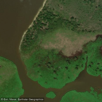
The forest comes to the water's edge and sometimes past it; during high water, the igapó — seasonally flooded blackwater forest — can rise more than three meters above the forest floor and push hundreds of meters into the trees, turning the jungle into something you paddle through rather than alongside.
Logistics here are real. There are no detailed commercial maps of most of the Brazilian Amazon, navigation depends on local knowledge, and self-sufficiency matters.
Going with an operator who knows the specific river is not a precaution — it's how these trips work. The scale of this place has a way of making even experienced paddlers recalibrate quickly.

Paddle smarter with real-time insights
Whether you're en route and conditions shift or you're looking for the best spot based on current flows, we enable you to make informed decisions on the fly.







Amazonas licenses and regulations
Explore Amazonas waters
Top paddling waters
Popular Cities
Loading popular cities...

Smarter Paddling Starts in the App.
Paddleways gives you everything you need to plan smarter, paddle better, and own every trip from first launch to takeout.